MyTopo
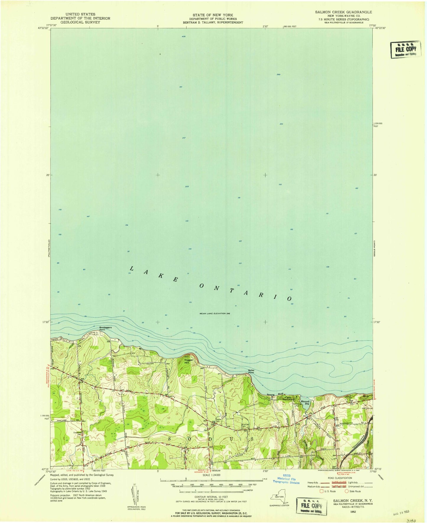
Classic USGS Salmon Creek New York 7.5'x7.5' Topo Map
Couldn't load pickup availability
Historical USGS topographic quad map of Salmon Creek in the state of New York. Map scale may vary for some years, but is generally around 1:24,000. Print size is approximately 24" x 27"
This quadrangle is in the following counties: Wayne.
The map contains contour lines, roads, rivers, towns, and lakes. Printed on high-quality waterproof paper with UV fade-resistant inks, and shipped rolled.
Contains the following named places: Boller Point, Bootleggers Point, Bushnell Cemetery, Camp Beechwood, Centenary Cemetery, Idlewood On The Lake, Maxwell Bay, Negro Hill, Salmon Creek, School Number 14, School Number 2, School Number 3, School Number 6, Sill Creek, South Shore Recreational Vehicle Park, Sprong Bluff, Swales Cemetery, Wayne County