MyTopo
Classic USGS Salsbery Reservoir Montana 7.5'x7.5' Topo Map
Regular price
$16.95
Regular price
Sale price
$16.95
Unit price
per
Couldn't load pickup availability
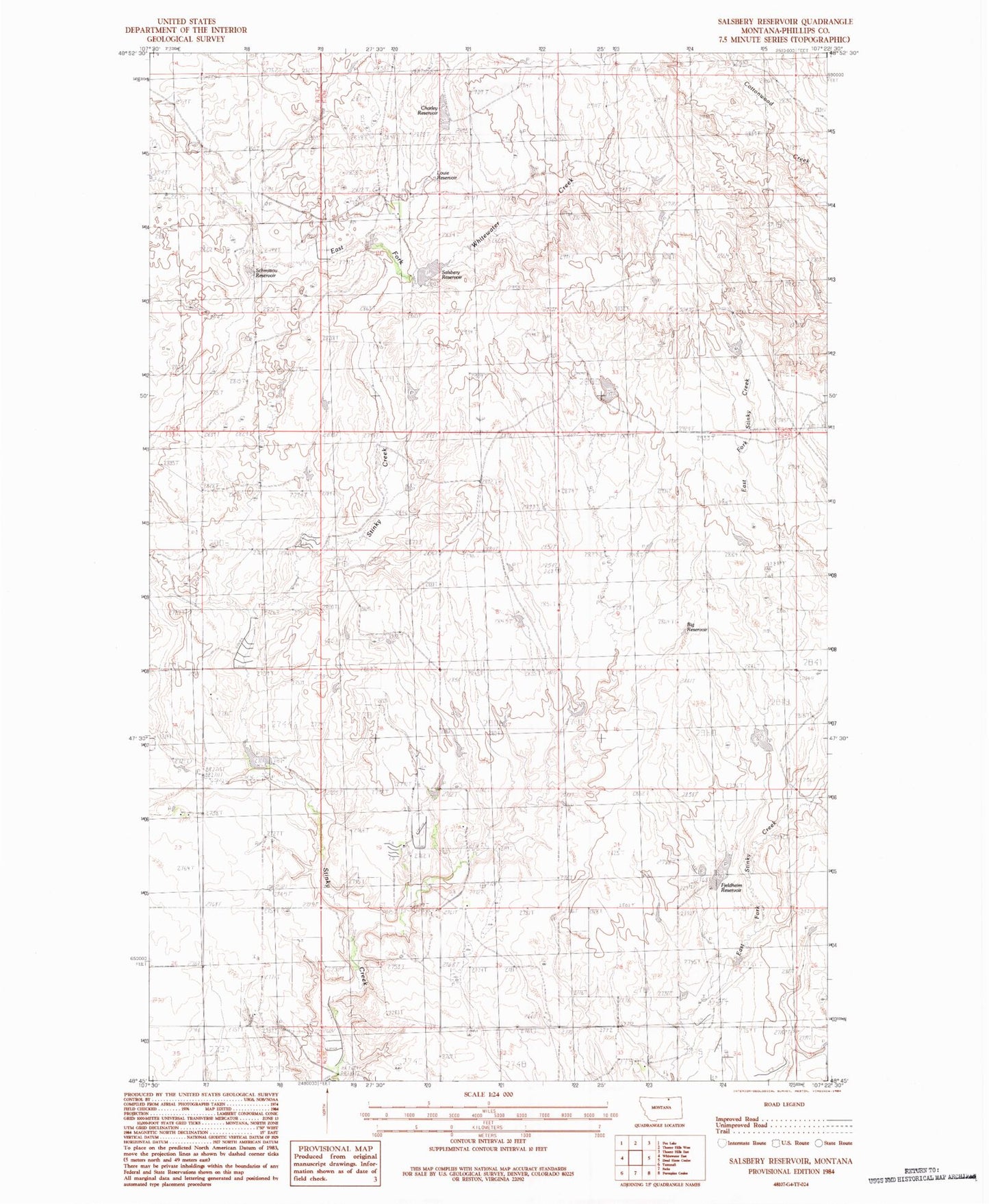
Historical USGS topographic quad map of Salsbery Reservoir in the state of Montana. Map scale may vary for some years, but is generally around 1:24,000. Print size is approximately 24" x 27"
This quadrangle is in the following counties: Phillips.
The map contains contour lines, roads, rivers, towns, and lakes. Printed on high-quality waterproof paper with UV fade-resistant inks, and shipped rolled.
Contains the following named places: 35N33E19DBA_01 Well, Big Reservoir, Charley Reservoir, Fjeldheim Reservoir, Fjldheim Dam, Grytdahl School, Joenni Ohson School, Louie Reservoir, Salsbery Dam, Salsbery Reservoir, Schmittou Reservoir, Turkey Track Dam