MyTopo
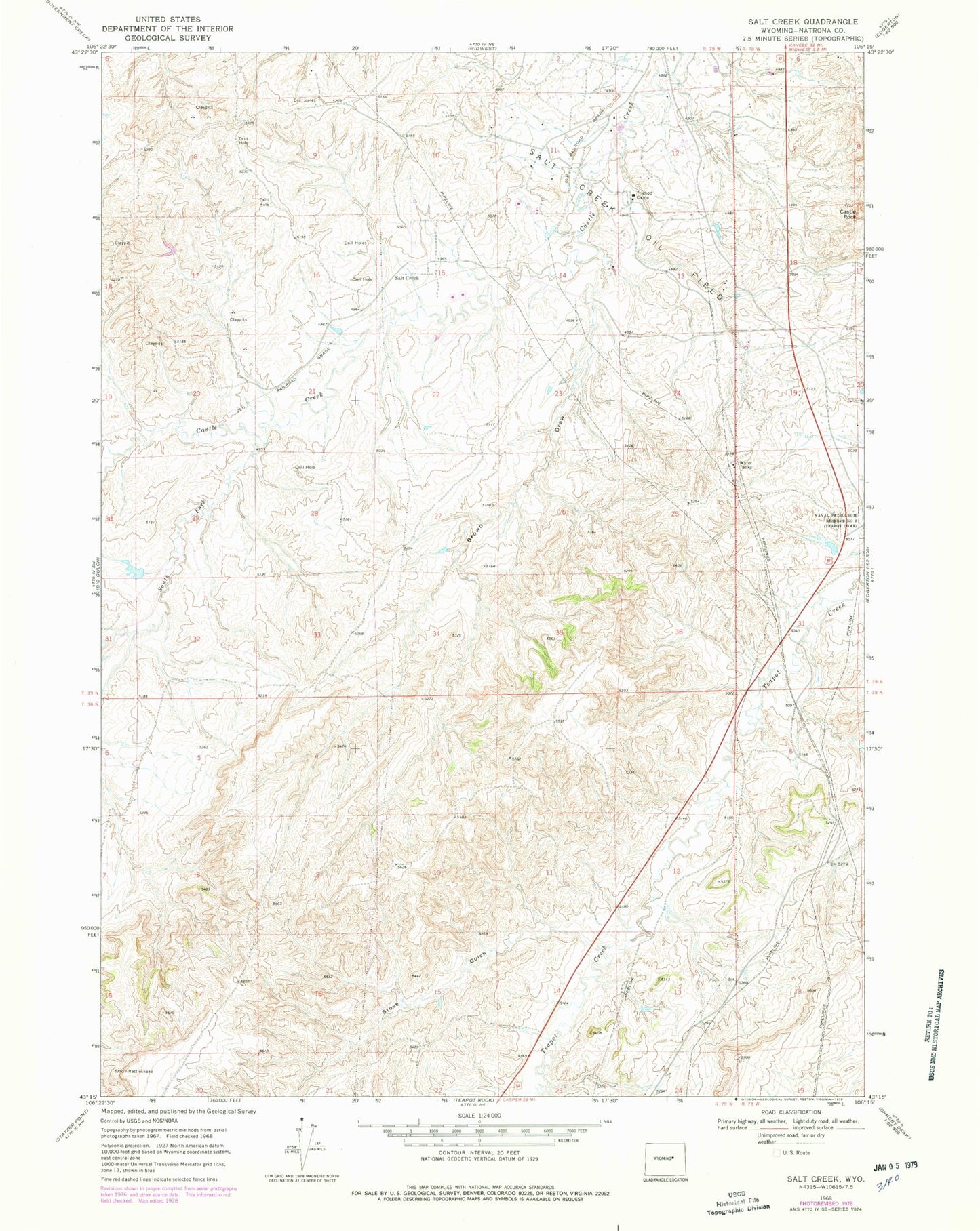
Classic USGS Salt Creek Wyoming 7.5'x7.5' Topo Map
Couldn't load pickup availability
Historical USGS topographic quad map of Salt Creek in the state of Wyoming. Map scale may vary for some years, but is generally around 1:24,000. Print size is approximately 24" x 27"
This quadrangle is in the following counties: Natrona.
The map contains contour lines, roads, rivers, towns, and lakes. Printed on high-quality waterproof paper with UV fade-resistant inks, and shipped rolled.
Contains the following named places: Brown Draw, Casper Mountain Asbestos Deposits, Castle Rock, Consolidated Number 3 Dam, Consolidated Reservoir Number 3, Fensland Number 2 Dam, Fensland Number 2 Reservoir, Midwest Number 12 Dam, Salt Creek, Snyder Dam, Snyder Reservoir, South Fork Castle Creek, Stove Gulch, Trigood Camp