MyTopo
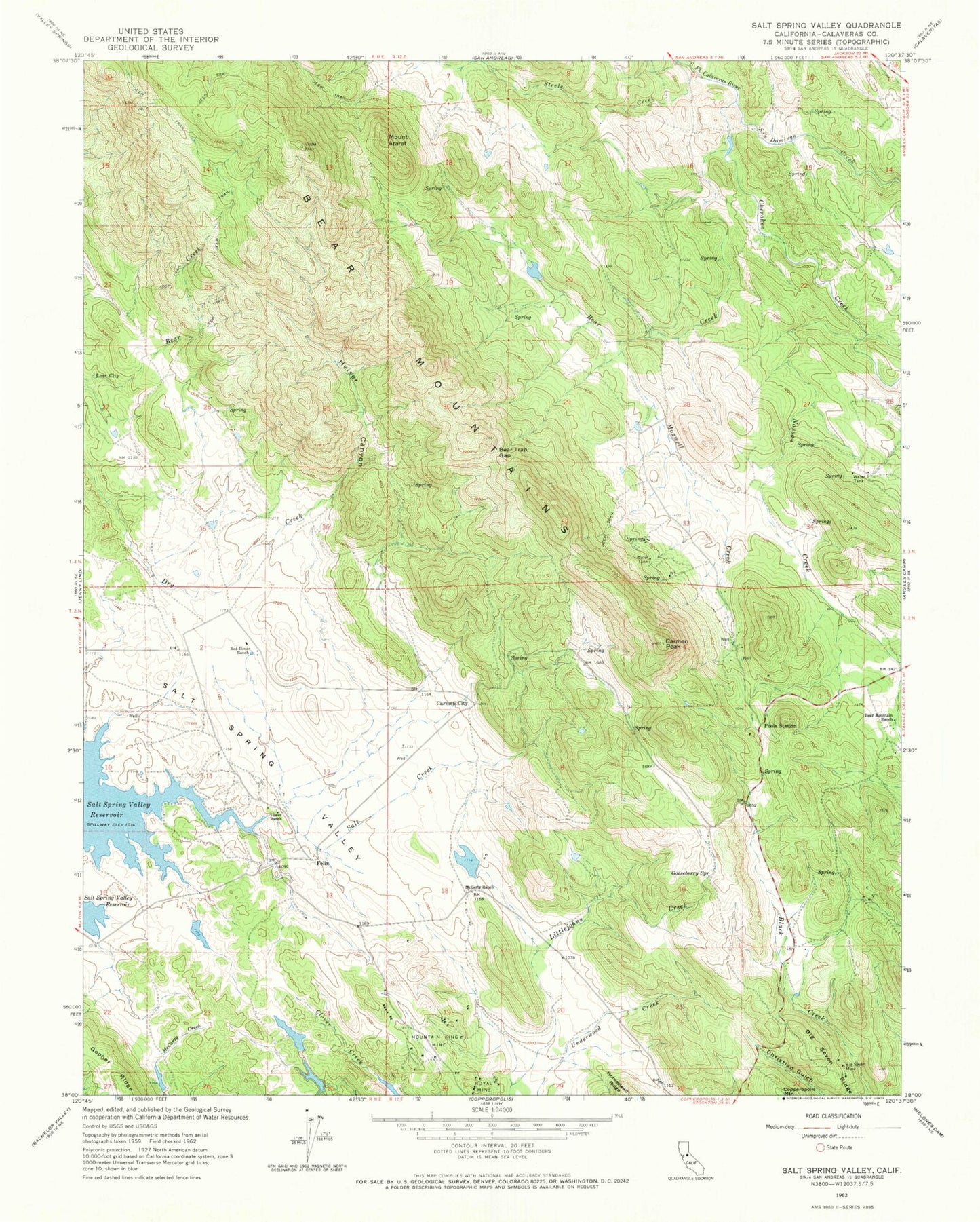
Classic USGS Salt Spring Valley California 7.5'x7.5' Topo Map
Couldn't load pickup availability
Historical USGS topographic quad map of Salt Spring Valley in the state of California. Map scale may vary for some years, but is generally around 1:24,000. Print size is approximately 24" x 27"
This quadrangle is in the following counties: Calaveras.
The map contains contour lines, roads, rivers, towns, and lakes. Printed on high-quality waterproof paper with UV fade-resistant inks, and shipped rolled.
Contains the following named places: Bar XX Ranch, Bear Creek, Bear Mountain Ranch, Bear Mountains, Bear Trap Gap, Bernascon Ranch, Big Seven Mine, Big Seven Ridge, Carmen City, Carmen Peak, Cherokee Creek, Circle XX Ranch, Copperopolis Fire Protection District Station 3, Elkhorn Station, Felix, Gooseberry Spring, Heiser Canyon, Inks Ranch, KCSO-TV (Modesto), Kuhn Ranch, Lost City, Maxwell Creek, McCarty 500 Dam, McCarty Ranch, Mount Ararat, Mountain King Mine, Nassau Creek, Nassau Valley, Pools Station, Red House Ranch, Royal Mine, Salt Creek, Salt Spring Valley, Salt Spring Valley School, San Domingo Creek, Steele Creek, Thorpe Prospect, Tower Ranch, Waterman Creek, ZIP Code: 95222


