MyTopo
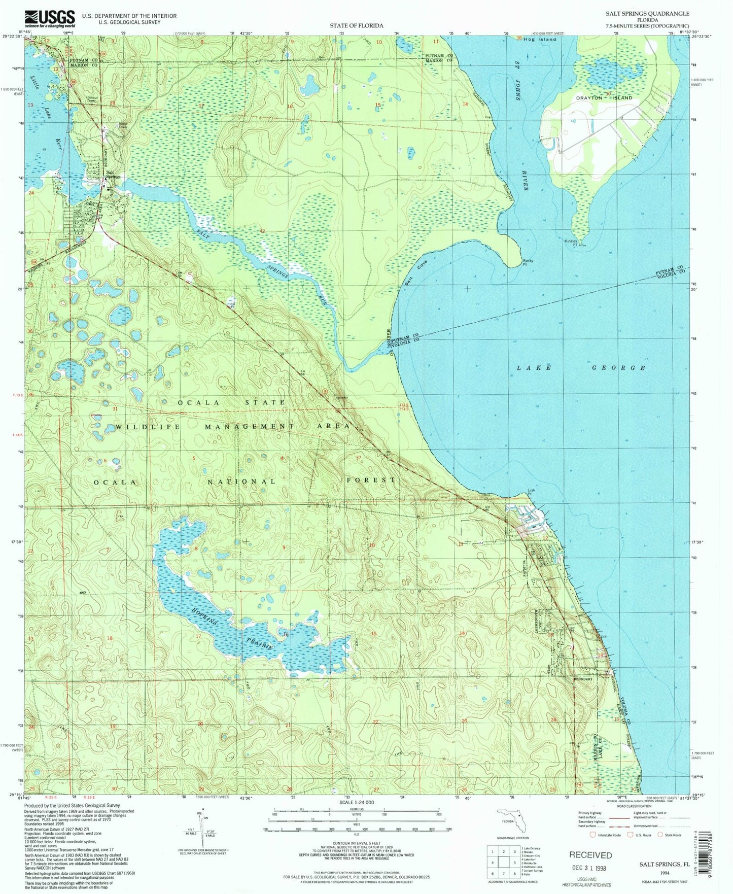
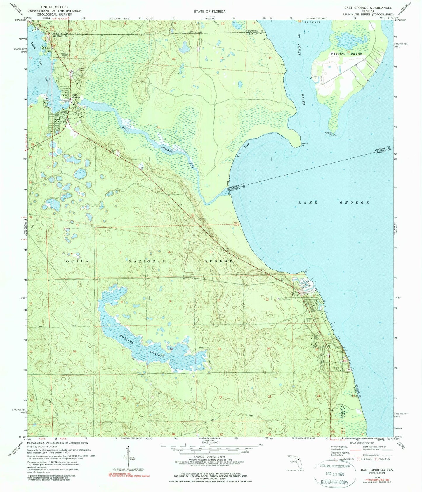
Classic USGS Salt Springs Florida 7.5'x7.5' Topo Map
Couldn't load pickup availability
Historical USGS topographic quad map of Salt Springs in the state of Florida. Typical map scale is 1:24,000, but may vary for certain years, if available. Print size: 24" x 27"
This quadrangle is in the following counties: Lake, Marion, Putnam, Volusia.
The map contains contour lines, roads, rivers, towns, and lakes. Printed on high-quality waterproof paper with UV fade-resistant inks, and shipped rolled.
Contains the following named places: Drayton Island, Hopkins Prairie, Kinsley Point, Lisk Point, Rocky Point, Salt Cove, Salt Springs, Salt Springs Run, Christian Church of Salt Springs, Forest Community Church, Salt Springs Tower (historical), Joseph M Hernandez Grant, Salt Springs Campground, Yellow Bluff, Hopkins Campground, Hughes Island, Salt Springs Bar, Marion County Sheriff's Office, Salt Springs Post Office, Marion County Fire Rescue Station 15 Salt Springs, Salt Springs Electric Substation, Salt Springs Village Mobile Home Park, Salt Springs Run Marina