MyTopo
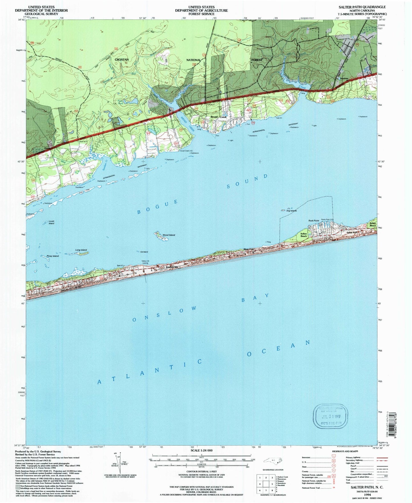
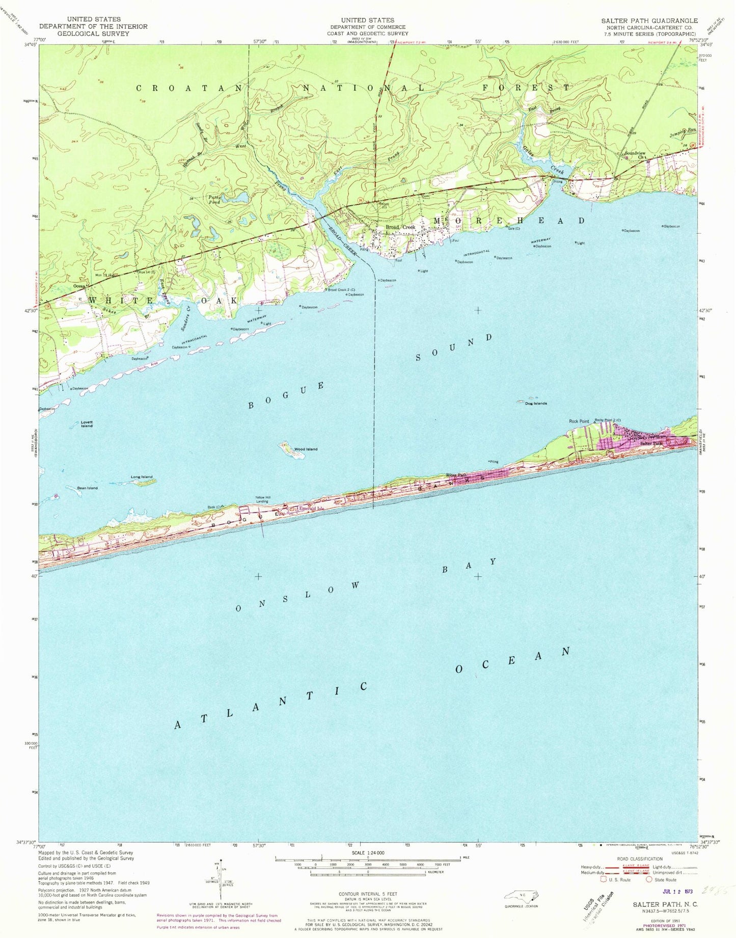
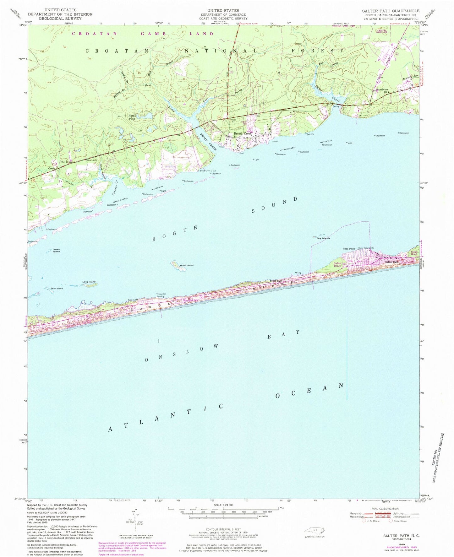
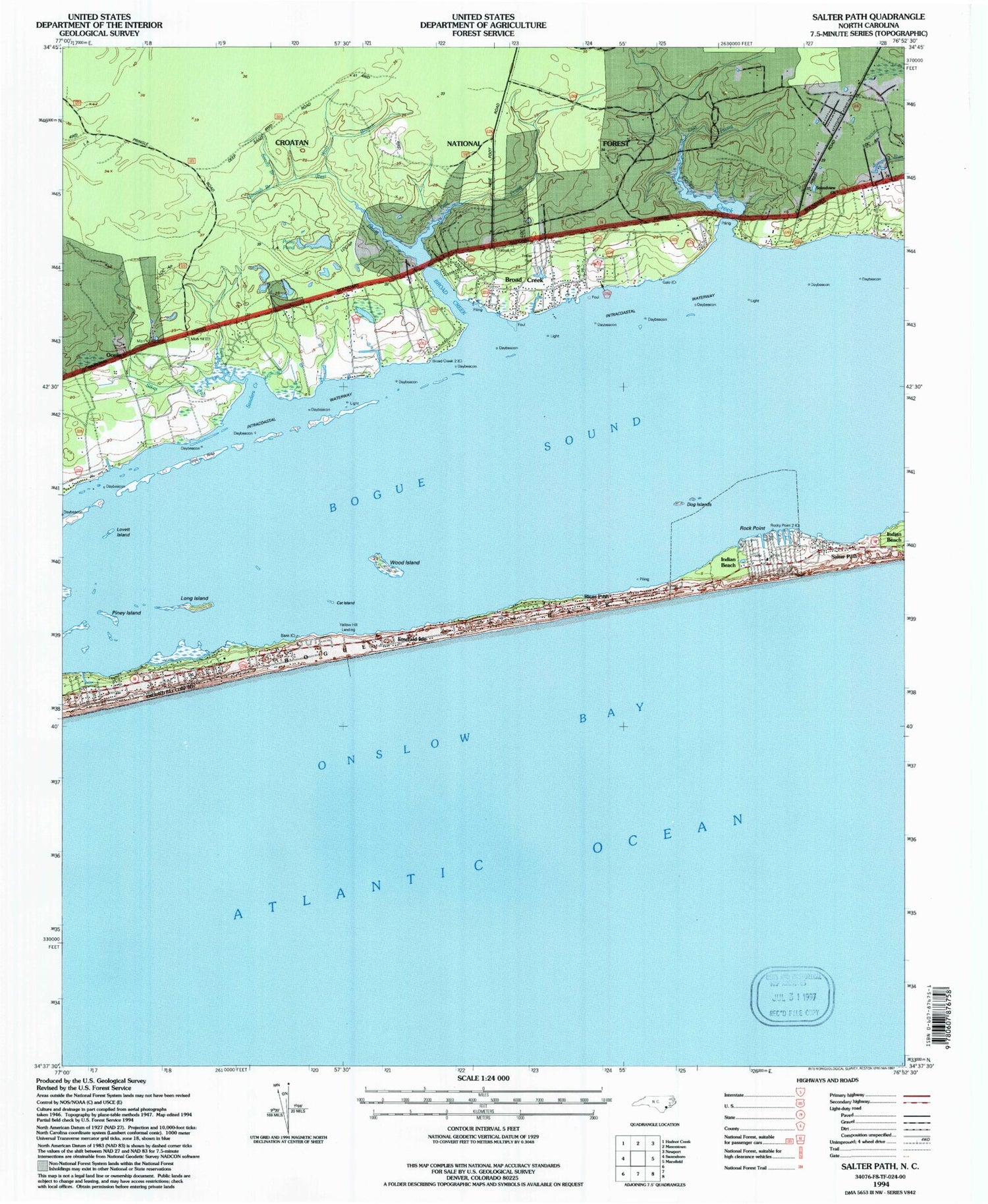
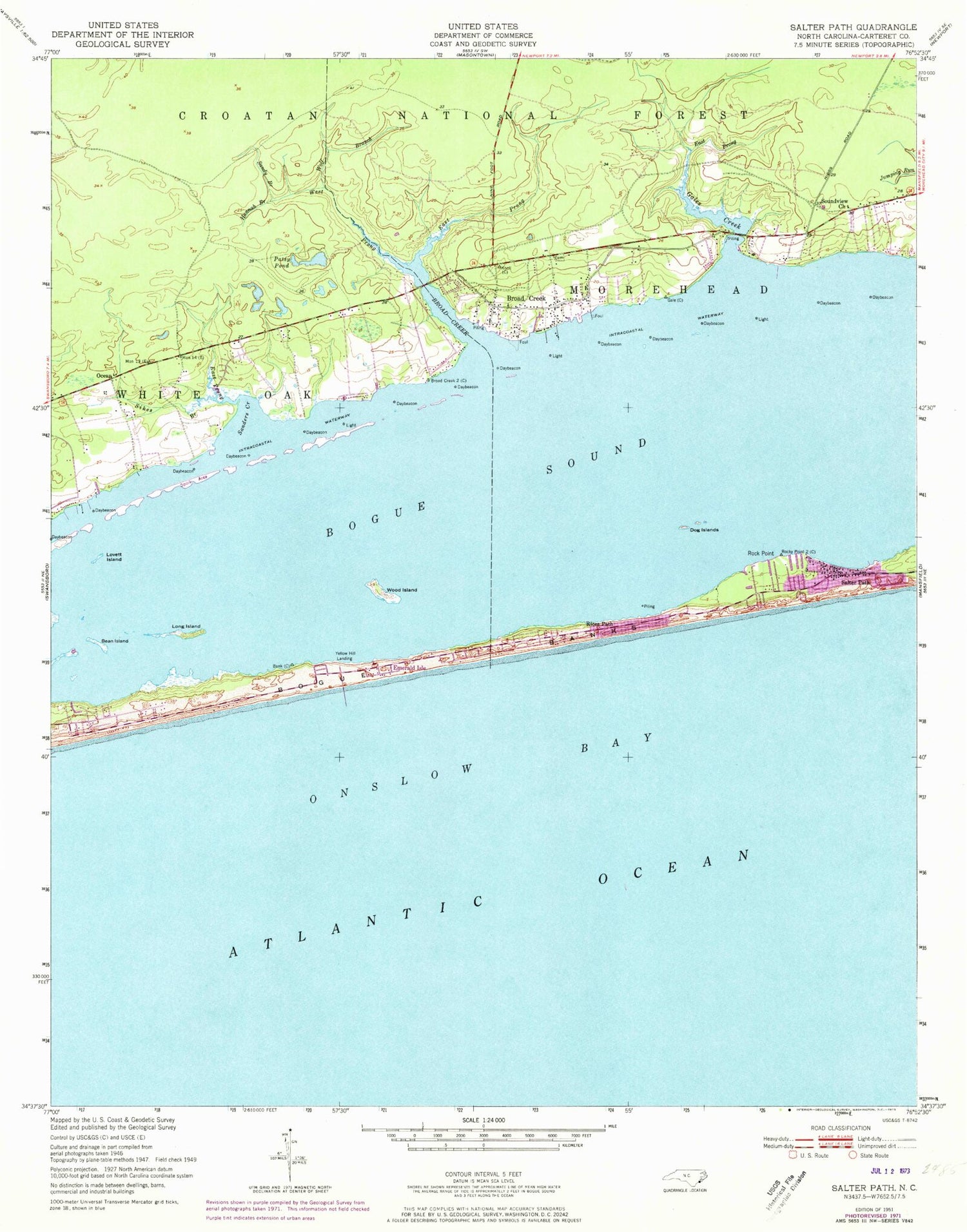
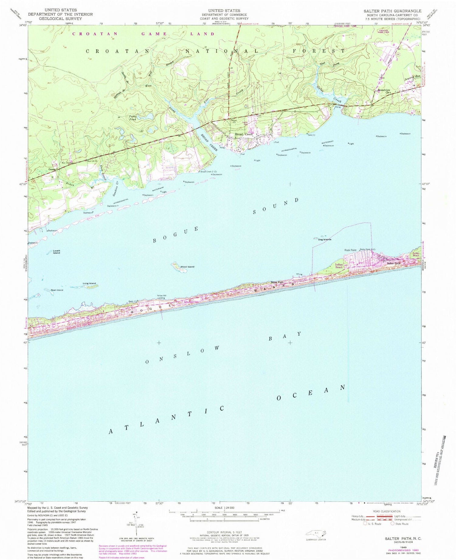
Classic USGS Salter Path North Carolina 7.5'x7.5' Topo Map
Couldn't load pickup availability
Historical USGS topographic quad map of Salter Path in the state of North Carolina. Map scale may vary for some years, but is generally around 1:24,000. Print size is approximately 24" x 27"
This quadrangle is in the following counties: Carteret.
The map contains contour lines, roads, rivers, towns, and lakes. Printed on high-quality waterproof paper with UV fade-resistant inks, and shipped rolled.
Contains the following named places: Bean Island, Bogue Sound, Broad and Gales Creek Rescue Squad, Broad and Gales Creek Volunteer Fire Department, Broad Creek, Broad Creek Census Designated Place, Broad Creek Middle School, Cat Island, Circle P Farm Airport, Dog Islands, East Prong Broad Creek, East Prong Gales Creek, Emerald Isle, Emerald Isle Fire Department Station 2, Foxlair, Gales Creek, Hannah Branch, Indian Beach, Indian Beach Police Department, Long Island, Lovett Island, Ocean, Paradise Bay Mobile Home Park, Patsy Pond, Rices Path, Rock Point, Rollingwoood Acres, Saint Francis by the Sea Episcopal Church, Salter Path, Salter Path Volunteer Fire Department and Emergency Medical Services, Sanders Creek, Sandy Branch, Sikes Branch, Sikes Branch East Prong, Soundview Church, Town of Indian Beach, West Prong Broad Creek, Wolf Branch, Wood Island, Yellow Hill Landing, ZIP Codes: 28575, 28594
