MyTopo
Classic USGS Saluda Virginia 7.5'x7.5' Topo Map
Couldn't load pickup availability
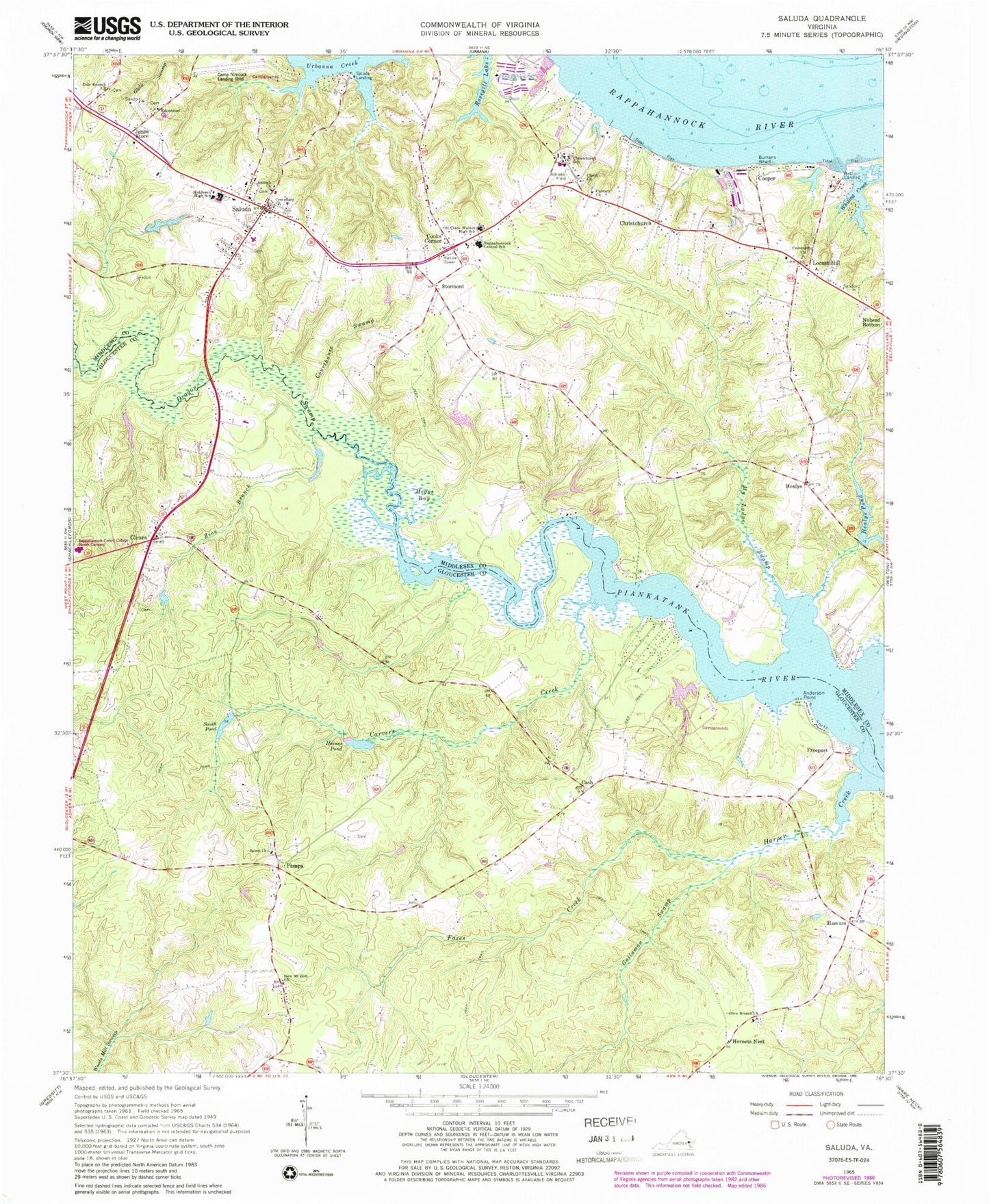
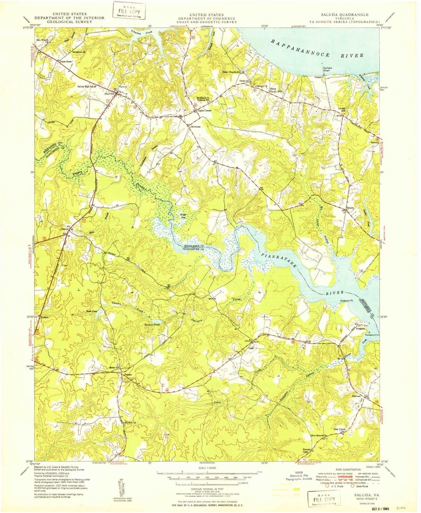
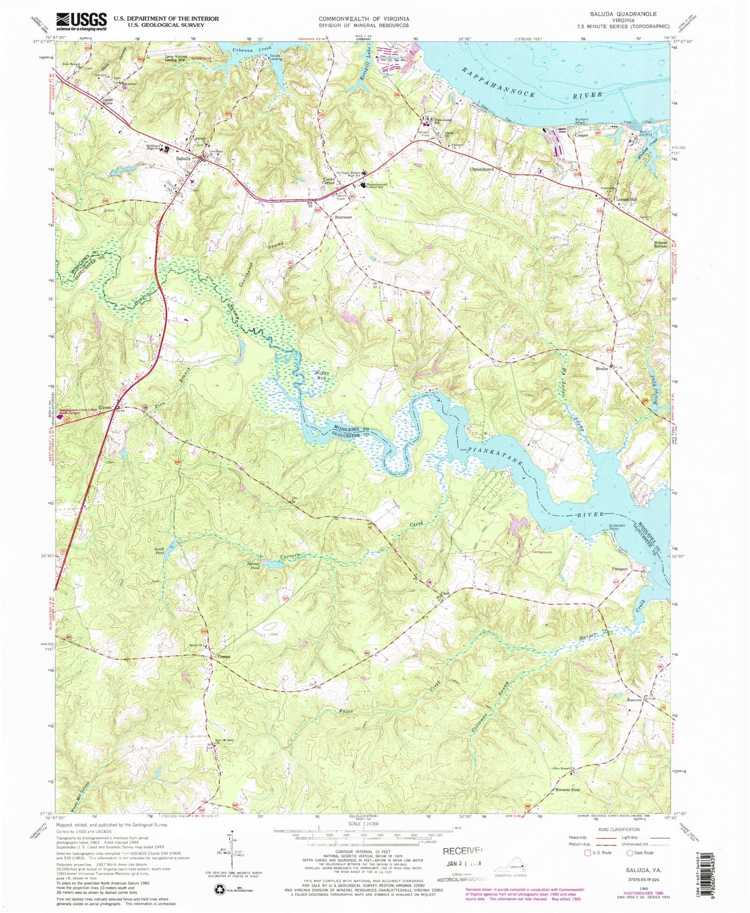
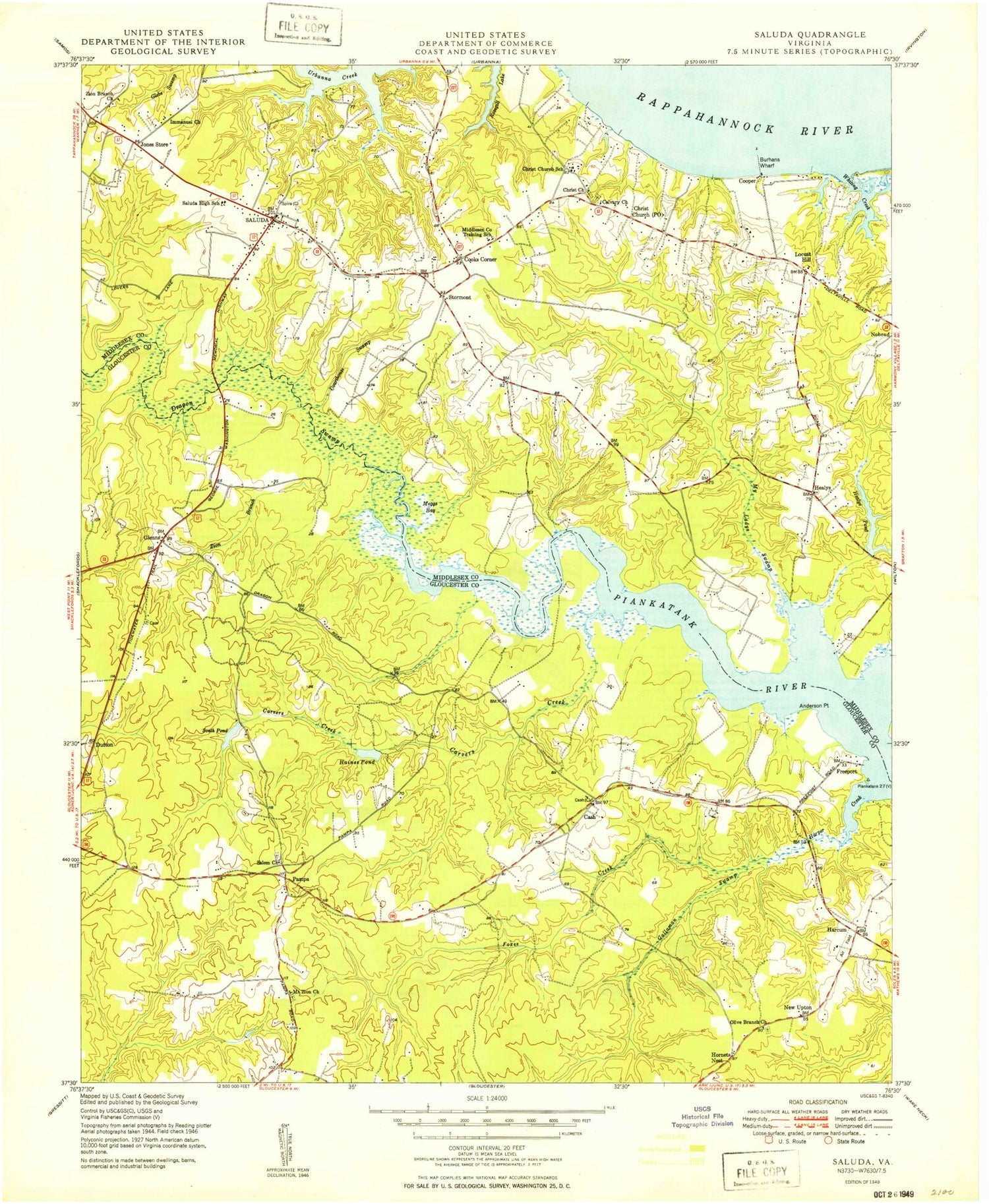
Historical USGS topographic quad map of Saluda in the state of Virginia. Typical map scale is 1:24,000, but may vary for certain years, if available. Print size: 24" x 27"
This quadrangle is in the following counties: Gloucester, Middlesex.
The map contains contour lines, roads, rivers, towns, and lakes. Printed on high-quality waterproof paper with UV fade-resistant inks, and shipped rolled.
Contains the following named places: Anderson Point, Antioch Church, Burhans Wharf, Calvary Church, Carvers Creek, Cash, Centenary Cemetery, Christ Church, Christchurch, Christchurch School, Community Church, Cooks Corner, Courthouse Swamp, Dragon Swamp, Emmanuel Church, Foxes Creek, Gallaman Swamp, Haines Pond, Harper Creek, Healys Pond, Jones Store, Meggs Bay, Middlesex High School, My Ladys Swamp, New Mount Zion Church, Olive Branch Church, Rappahannock Elementary School, Saint Clare Walker Elementary School, Salem Church, Zion Branch, Zion Branch Church, South Pond, Whiting Creek, Glenns, Harcum, Healys, Hornets Nest, Pampa, Stormont, Middlesex County, Cypress Shores Dam, Cypress Shores Lake, Haines Pond Dam, Headleys Dam, Grays Dam, Grays Pond, Saluda, Arrowhead Point Airport, Cooper, Freeport, Locust Hill, Saluda Landing, Christ Church Cemetery, Healys Mill (historical), Middlesex County Courthouse, Turks Ferry Bridge (historical), New Upton, Rappahannock Community College - Glenns Campus, Saint Andrews Church (historical), Zion Branch School (historical), Saluda District, Middlesex County Sheriff's Office, Gloucester Volunteer Fire and Rescue Station 4, Middlesex County Sheriff's Office, Middlesex Elementary School, Chesapeake Bay Governors School, Saluda Landing Boat Ramp, Freeport Marina, Middle Peninsula Landfill, Saluda Post Office, Middlesex County Public Library, Mizpah Health Care Center Nursing Home, Riverside Convalescent Center at Saluda, Saluda Census Designated Place, Locust Hill Post Office, Middle Peninsula Regional Security Center


