MyTopo
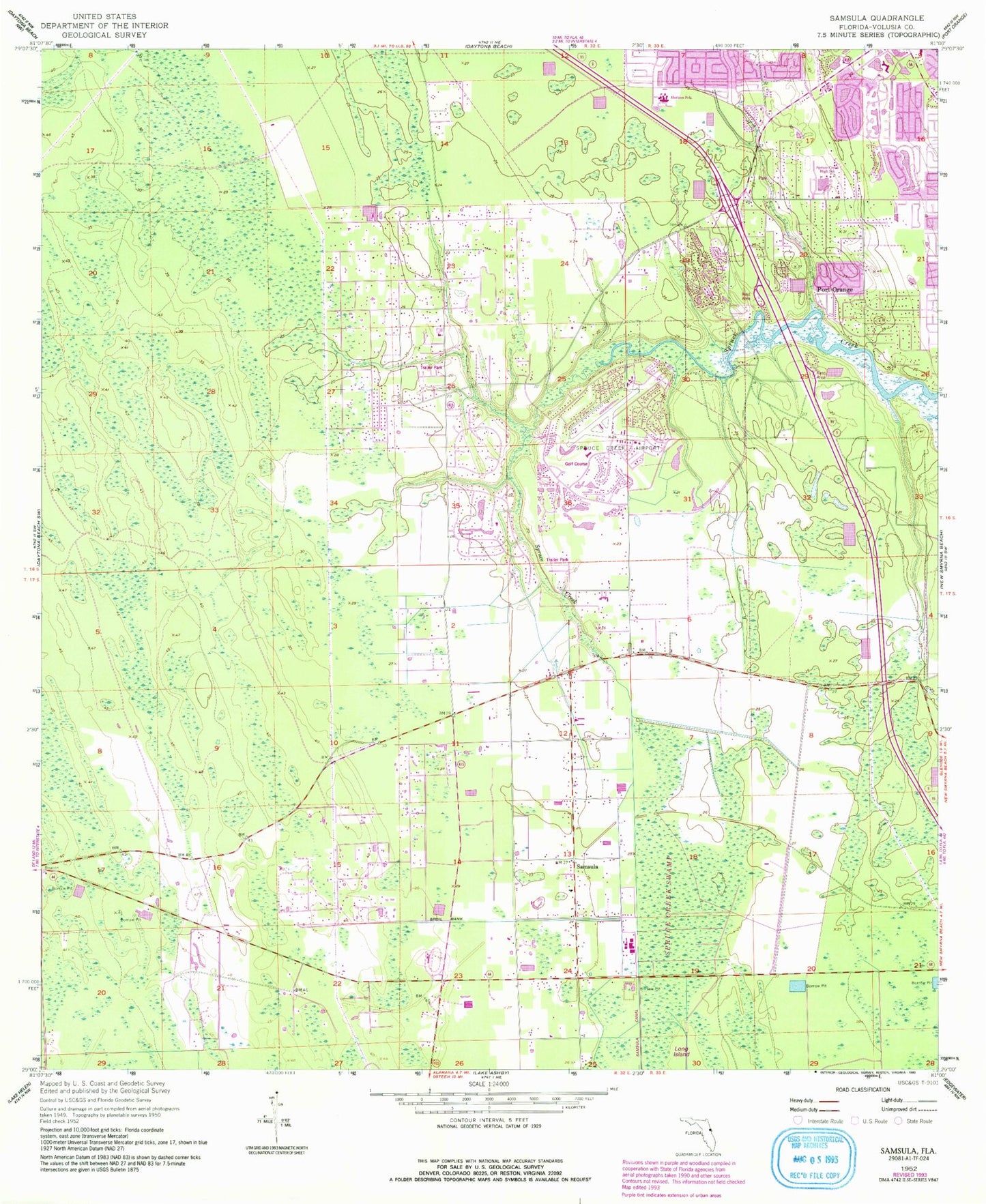
Classic USGS Samsula Florida 7.5'x7.5' Topo Map
Couldn't load pickup availability
Historical USGS topographic quad map of Samsula in the state of Florida. Map scale may vary for some years, but is generally around 1:24,000. Print size is approximately 24" x 27"
This quadrangle is in the following counties: Volusia.
The map contains contour lines, roads, rivers, towns, and lakes. Printed on high-quality waterproof paper with UV fade-resistant inks, and shipped rolled.
Contains the following named places: Central Volusia Division, City of Port Orange, Crane Lakes Mobile Home Park, Double D Mobile Ranch, Foursquare Gospel Church, Friendship Cemetery, Grace Baptist Church, New Hope Baptist Church, Our Savior's Lutheran Church, Port Orange Christian Church, Port Orange Church of the Nazarene, Port Orange Fire Rescue Department Station 74, Port Orange Fire Rescue Department Station 75, Port Orange United Church of Christ, Saint Lukes Anglican Church, Samsula, Samsula Elementary School, Samsula-Spruce Creek Census Designated Place, South Tomoka Wildlife Management Area, Southern Dunes Golf and Country Club, Southridge Golf Course, Sovereign Grace Church, Spruce Creek Airport, Spruce Creek Cemetery, Spruce Creek Elementary School, Spruce Creek Presbyterian Church, United Brethren in Christ Faith Church, Volusia County Fire Services Station 12 Spruce Creek, ZIP Code: 32128