MyTopo
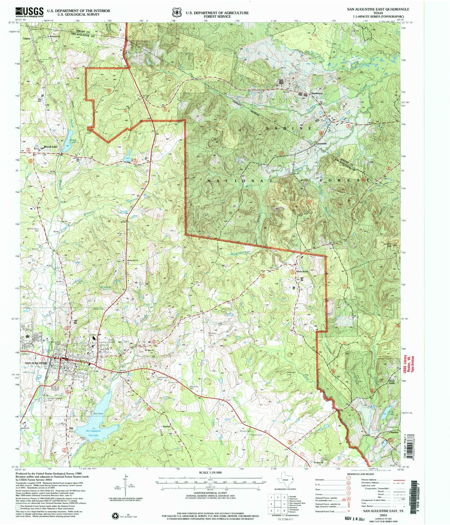
Classic USGS San Augustine East Texas 7.5'x7.5' Topo Map
Couldn't load pickup availability
Historical USGS topographic quad map of San Augustine East in the state of Texas. Map scale may vary for some years, but is generally around 1:24,000. Print size is approximately 24" x 27"
This quadrangle is in the following counties: San Augustine, Shelby.
The map contains contour lines, roads, rivers, towns, and lakes. Printed on high-quality waterproof paper with UV fade-resistant inks, and shipped rolled.
Contains the following named places: Antioch Church, Black Ankle, Bland Lake, Bland Lake Dam, Brooks Cemetery, Calgary, Caney Creek, Cartwright Cemetery, Catholic Health Initiatives Memorial Hospital San Augustine, Central Church, Chumley, Chumley Cemetery, City Lake, City of San Augustine, Crooked Creek, Cypress Creek, Ezekiel Cullen Home Museum, Ezekiel Cullen House, Frizelle Branch, Ghost Branch, Hawthorne, Height Hill, Higginbotham Branch, Horn-Polk House, Horton Cemetery, John W Mitchell Law Enforcement Center, Lane Cemetery, Lanetown, Liberty Hill Baptist Church, Liberty Hill Church, Lilly Lake, Lilly Lake Dam, Matthew Cartwright House, Mickey Branch, Mill Creek, Mount Dena Church, Mount Horeb Church, Mount Zion Church, Pickard Cemetery, Roberts Cemetery, San Augustine, San Augustine City Hall, San Augustine City Lake, San Augustine City Lake Dam, San Augustine Constable's Office Precinct 1, San Augustine Constable's Office Precinct 2, San Augustine Constable's Office Precinct 3, San Augustine County Courthouse, San Augustine County Historical Foundation Museum, San Augustine County Sheriff's Office, San Augustine Elementary School, San Augustine Intermediate School, San Augustine Post Office, San Augustine Spring, San Augustine Volunteer Fire Department, Smith Cemetery, Sublett Cemetery, Sunrise, Tenaha Ranger District Office, White Rock, Whitton Cemetery


