MyTopo
Classic USGS San Clemente Island North California 7.5'x7.5' Topo Map
Regular price
$16.95
Regular price
Sale price
$16.95
Unit price
per
Couldn't load pickup availability
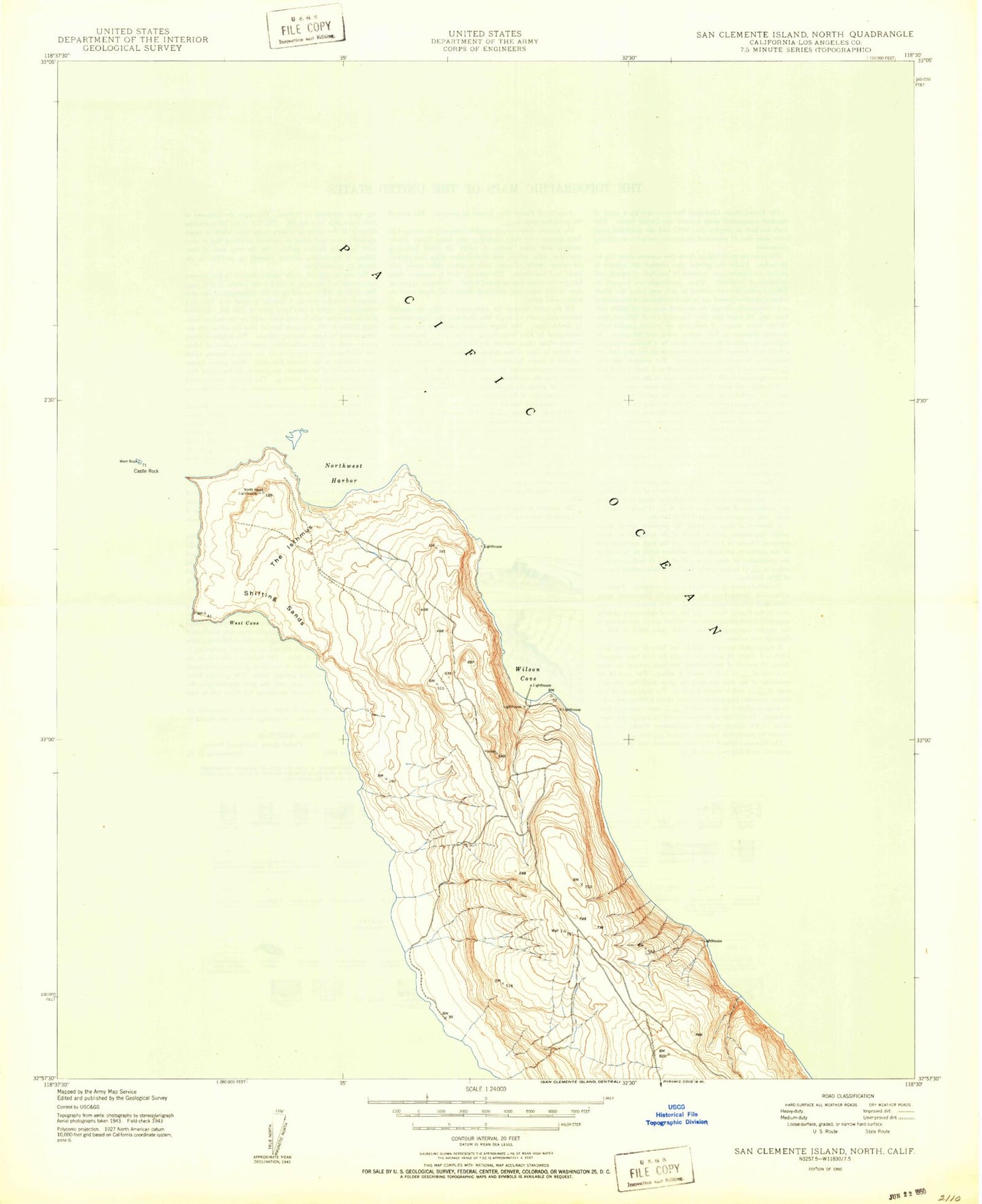
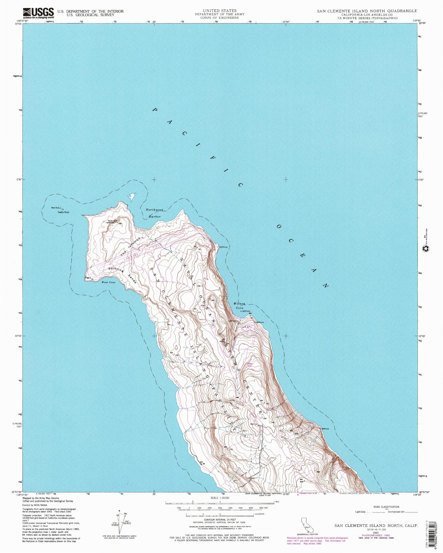
Historical USGS topographic quad map of San Clemente Island North in the state of California. Map scale may vary for some years, but is generally around 1:24,000. Print size is approximately 24" x 27"
This quadrangle is in the following counties: Los Angeles.
The map contains contour lines, roads, rivers, towns, and lakes. Printed on high-quality waterproof paper with UV fade-resistant inks, and shipped rolled.
Contains the following named places: Castle Rock, North Head Lighthouse, Northwest Harbor, San Clemente Island Naval Auxiliary Landing Field, Shifting Sands, The Isthmus, West Cove, Wilson Cove