MyTopo
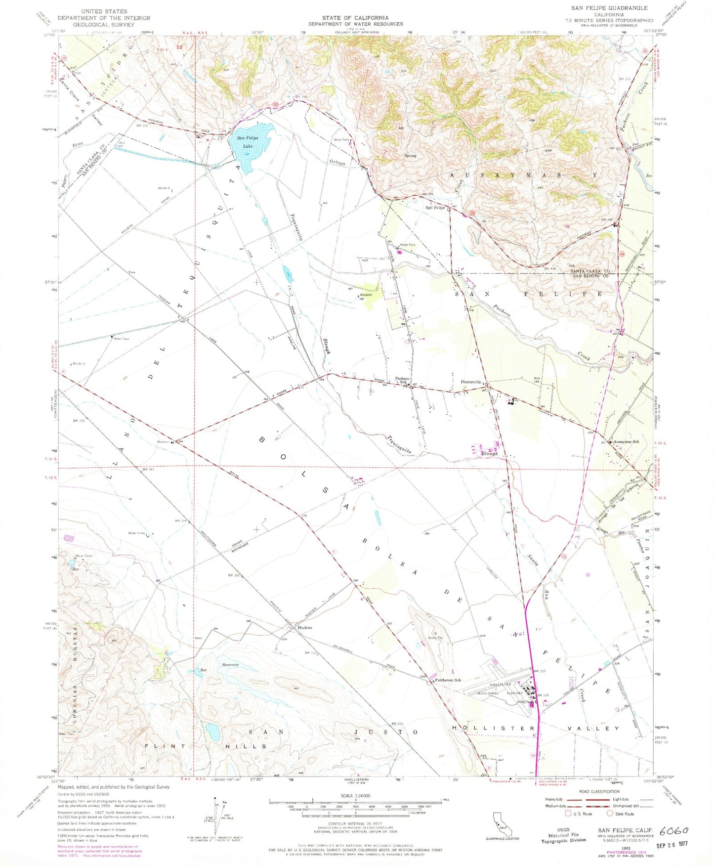
Classic USGS San Felipe California 7.5'x7.5' Topo Map
Couldn't load pickup availability
Historical USGS topographic quad map of San Felipe in the state of California. Map scale may vary for some years, but is generally around 1:24,000. Print size is approximately 24" x 27"
This quadrangle is in the following counties: San Benito, Santa Clara.
The map contains contour lines, roads, rivers, towns, and lakes. Printed on high-quality waterproof paper with UV fade-resistant inks, and shipped rolled.
Contains the following named places: Almaden Vineyards, Arroyo De Las Viboras, Arroyo Dos Picachos, Ausaymas School, Bolsa, Bolsa De San Felipe, Bureau of Land Management Hollister Field Office, Cascade Ruta Winery, Department of Forestry and Fire Protection Hollister Ranger Station, Don Pacheco Gardens, Dunneville, Fairhaven School, Flint Hills, Frazier Lake Airpark, Hollister Business Park, Hollister Municipal Airport, Hollister Police Department, Hollister Valley, Hollister Wayside Park, Hudner, Llano Del Tequisquita, Millers Canal, Naval Auxiliary Air Station Hollister, Ortega Creek, Pacheco Creek, Pacheco Pass Landfill, Pacheco School, Prunedale School, San Benito County Jail, San Benito County Sheriff's Office, San Felipe, San Felipe Lake, San Felipe School, Santa Ana Creek, Santa Clara Tunnel, Tequisquita Slough, Vessey 654 Dam


