MyTopo
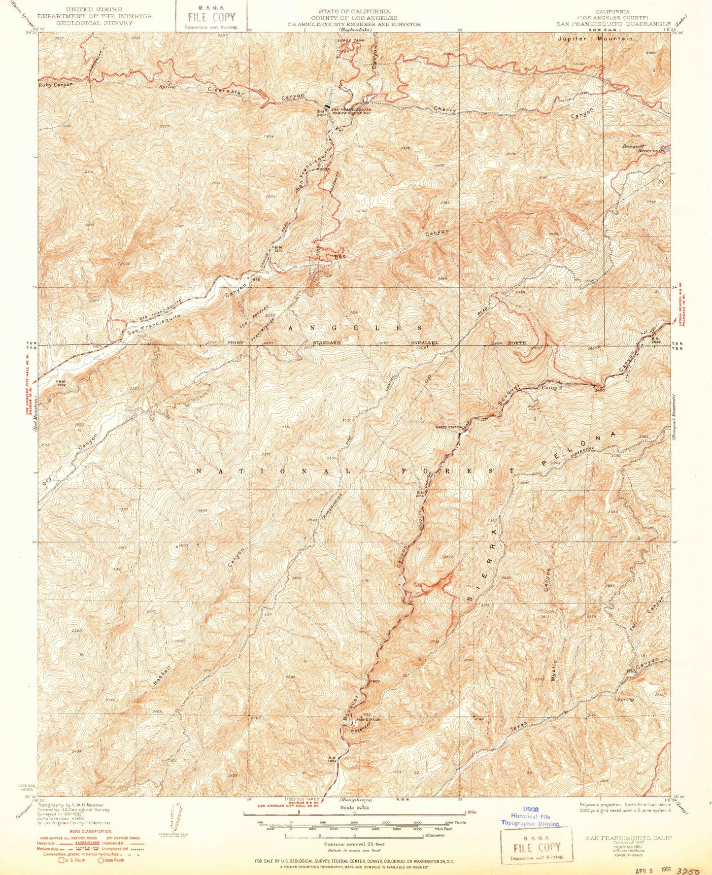
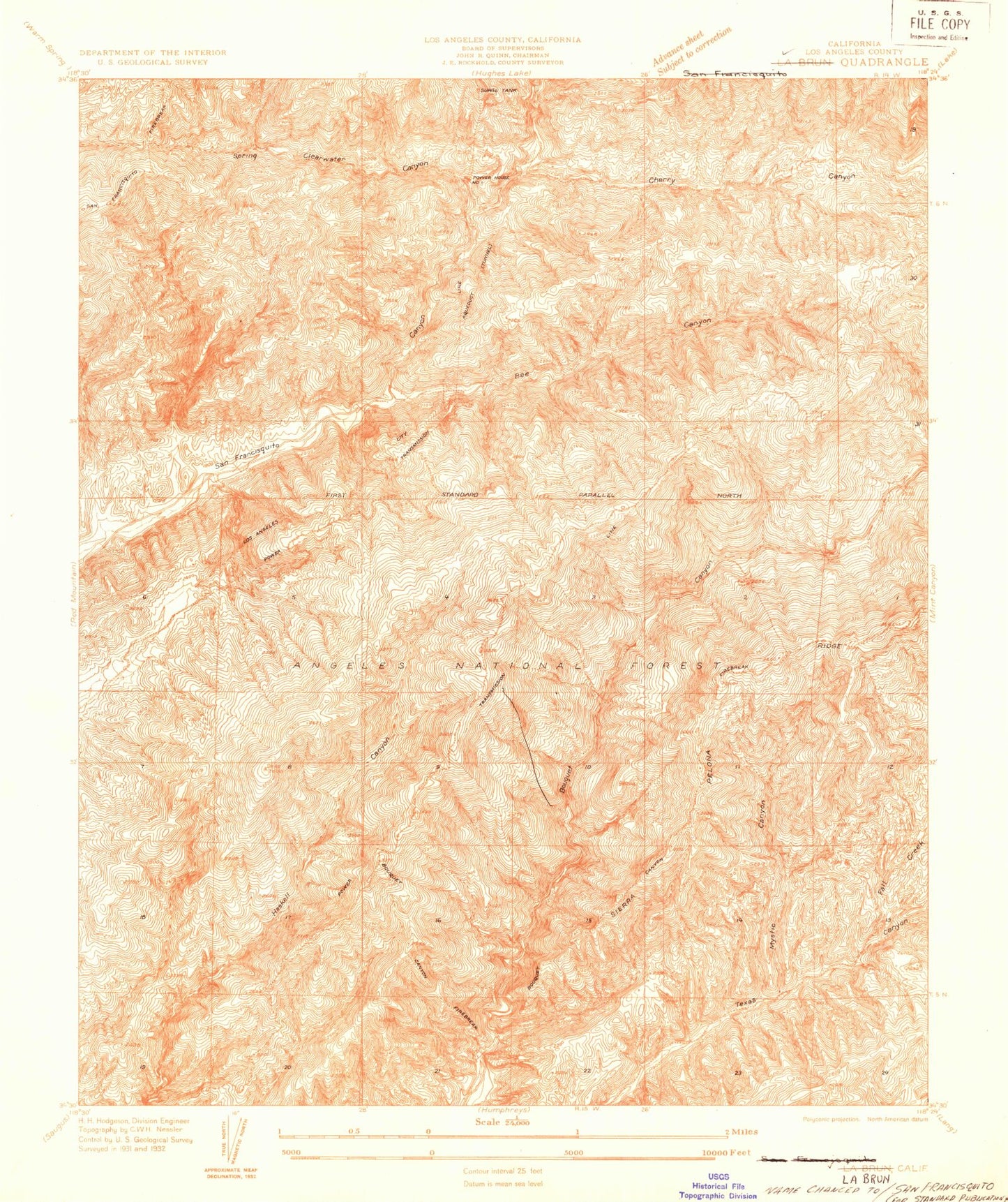
Classic USGS San Francisquito California 7.5'x7.5' Topo Map
Couldn't load pickup availability
Historical USGS topographic quad map of San Francisquito in the state of California. Map scale may vary for some years, but is generally around 1:24,000. Print size is approximately 24" x 27"
This quadrangle is in the following counties: Los Angeles, San Francisco.
The map contains contour lines, roads, rivers, towns, and lakes. Printed on high-quality waterproof paper with UV fade-resistant inks, and shipped rolled.
Contains the following named places: Aqueduct Spring, Baird Canyon, Bee Canyon, Big Oaks Campground, Bouquet Campground, Bouquet Campground Number Four, Bouquet Campground Number Three, Bouquet Guard Station, Bouquet Pipeline, Camp 14 Heliport, Chaparral Campground, Cherry Canyon, Clearwater Canyon, Del Sur Ridge, Fall Canyon, Las Cantilles, Las Cantilles Picnic Area, Mystic Canyon, Plum Spring, Road Camp Number Seven, San Francisquito Powerhouse Number One, Saugus Del Sur Truck Trail, Savgus District Ranger Office, Streamside Campground, Texas Canyon Engineering Work Center, Texas Target Shooting Area, United States Forest Service Angeles National Forest - Texas Canyon Fire Station, Zuni Campground, ZIP Code: 91390


