MyTopo
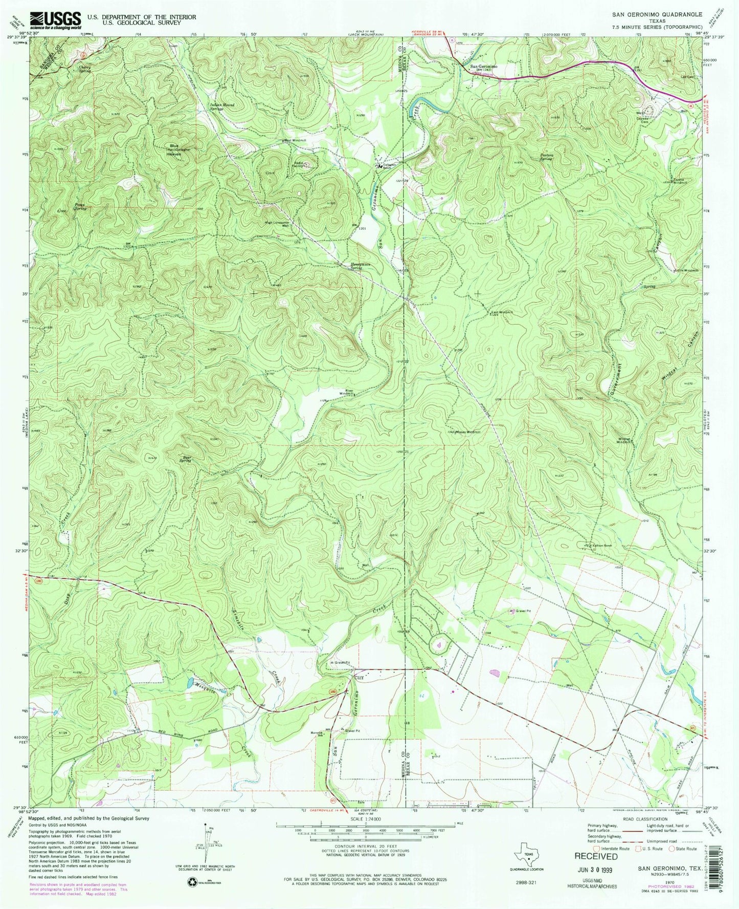
Classic USGS San Geronimo Texas 7.5'x7.5' Topo Map
Couldn't load pickup availability
Historical USGS topographic quad map of San Geronimo in the state of Texas. Typical map scale is 1:24,000, but may vary for certain years, if available. Print size: 24" x 27"
This quadrangle is in the following counties: Bandera, Bexar, Medina.
The map contains contour lines, roads, rivers, towns, and lakes. Printed on high-quality waterproof paper with UV fade-resistant inks, and shipped rolled.
Contains the following named places: Bear Spring, Blue Heaven, Cepeda Cemetery, Cherry Spring, Cliff, East Windmill, Gallagher Ranch, Government Canyon, High Lonesome Well, Honeymoon Spring, Indian Mound Springs, Kallison Ranch, Limekiln Creek, Little Windmill, Maverick School, Moses Windmill, Pastora Spring, Pecan Spring, River Windmill, San Geronimo, West Windmill, Wildcat Canyon, Wildcat Windmill, Zapeta Windmill, San Geronimo Airpark, KKYX-AM (San Antonio), San Geronimo Recharge Dam, San Geronimo Recharge Lake, Schuchart Lake Dam, Schuchart Lake, Cedar Springs, Government Canyon State Natural Area, Alamo Seventh Day Church of God, Geronimo Creek Quarry