MyTopo
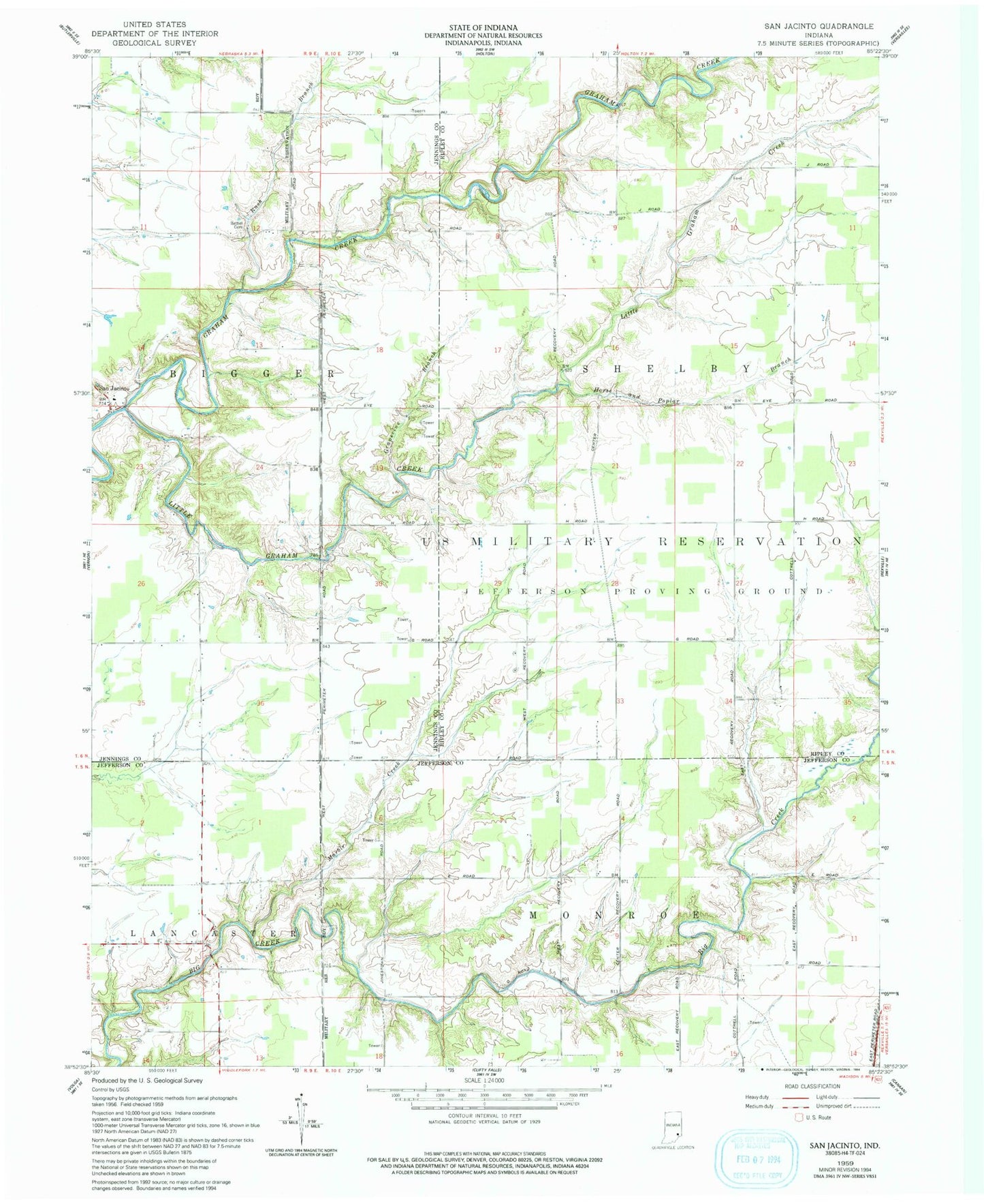
Classic USGS San Jacinto Indiana 7.5'x7.5' Topo Map
Regular price
$16.95
Regular price
Sale price
$16.95
Unit price
per
Couldn't load pickup availability
Historical USGS topographic quad map of San Jacinto in the state of Indiana. Typical map scale is 1:24,000, but may vary for certain years, if available. Print size: 24" x 27"
This quadrangle is in the following counties: Jefferson, Jennings, Ripley.
The map contains contour lines, roads, rivers, towns, and lakes. Printed on high-quality waterproof paper with UV fade-resistant inks, and shipped rolled.
Contains the following named places: Bethel Cemetery, Grapevine Branch, Horse and Poplar Branch, Little Graham Creek, Marble Creek, Rush Branch, San Jacinto, Saint Magdalen, Benville Post Office (historical), Township of Bigger, Big Oaks National Wildlife Refuge