MyTopo
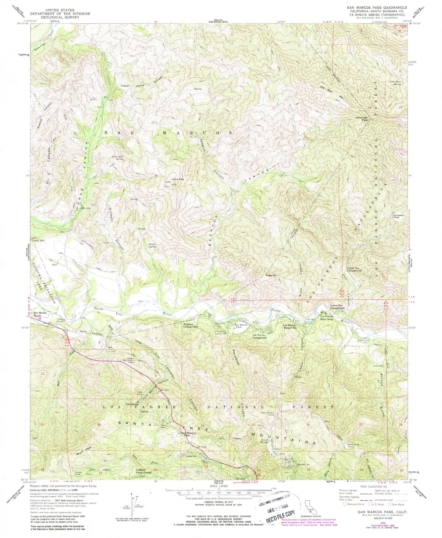
Classic USGS San Marcos Pass California 7.5'x7.5' Topo Map
Couldn't load pickup availability
Historical USGS topographic quad map of San Marcos Pass in the state of California. Typical map scale is 1:24,000, but may vary for certain years, if available. Print size: 24" x 27"
This quadrangle is in the following counties: Santa Barbara.
The map contains contour lines, roads, rivers, towns, and lakes. Printed on high-quality waterproof paper with UV fade-resistant inks, and shipped rolled.
Contains the following named places: Alexander Peak, Aliso Canyon, Arroyo Burro, Bear Creek, Brush Peak, Cold Spring Canyon, Four-H Camp, Fremont Campground, Goddard Picnic Ground, Kelly Creek, Laurel Springs, Lewis Canyon, Little Pine Spring, Loma Alta, Loma Alta Spring, Los Laureles Canyon, Los Prietos Boys Camp, Los Prietos Campground, Los Prietos Ranger Station, Lower Oso Campground, Nineteen Oaks, Old Man Mountain, Oso Canyon, Paradise Canyon, Paradise County Park, Rattlesnake Trail, Redrock Canyon, San Marcos, San Marcos Pass, San Marcos School, Seagull Canyon, Upper Horse Canyon, Upper Oso Campground, Willow Spring, Windsor Canyon, Cold Spring, Wellhouse Falls, Sage Hill Campground, Ninteen Oaks Campground, Upper Oso Campground, White Oaks Campground, Little Pine Spring RUstic Campsite, San Marcos Pass Ranger Station, Rosario Park, Baptist Campground, Paradise Campground, White Rock Recreation Site, Los Prietos Campground, Santa Barbara Radio Range Station, Sage Hill, Laurel Springs Lodge, Chumash Painted Cave State Historic Park, Los Padres National Forest - Santa Barbara Ranger District, San Marcos Pass Volunteer Fire Department


