MyTopo
Classic USGS San Miguel Island West California 7.5'x7.5' Topo Map
Regular price
$16.95
Regular price
Sale price
$16.95
Unit price
per
Couldn't load pickup availability
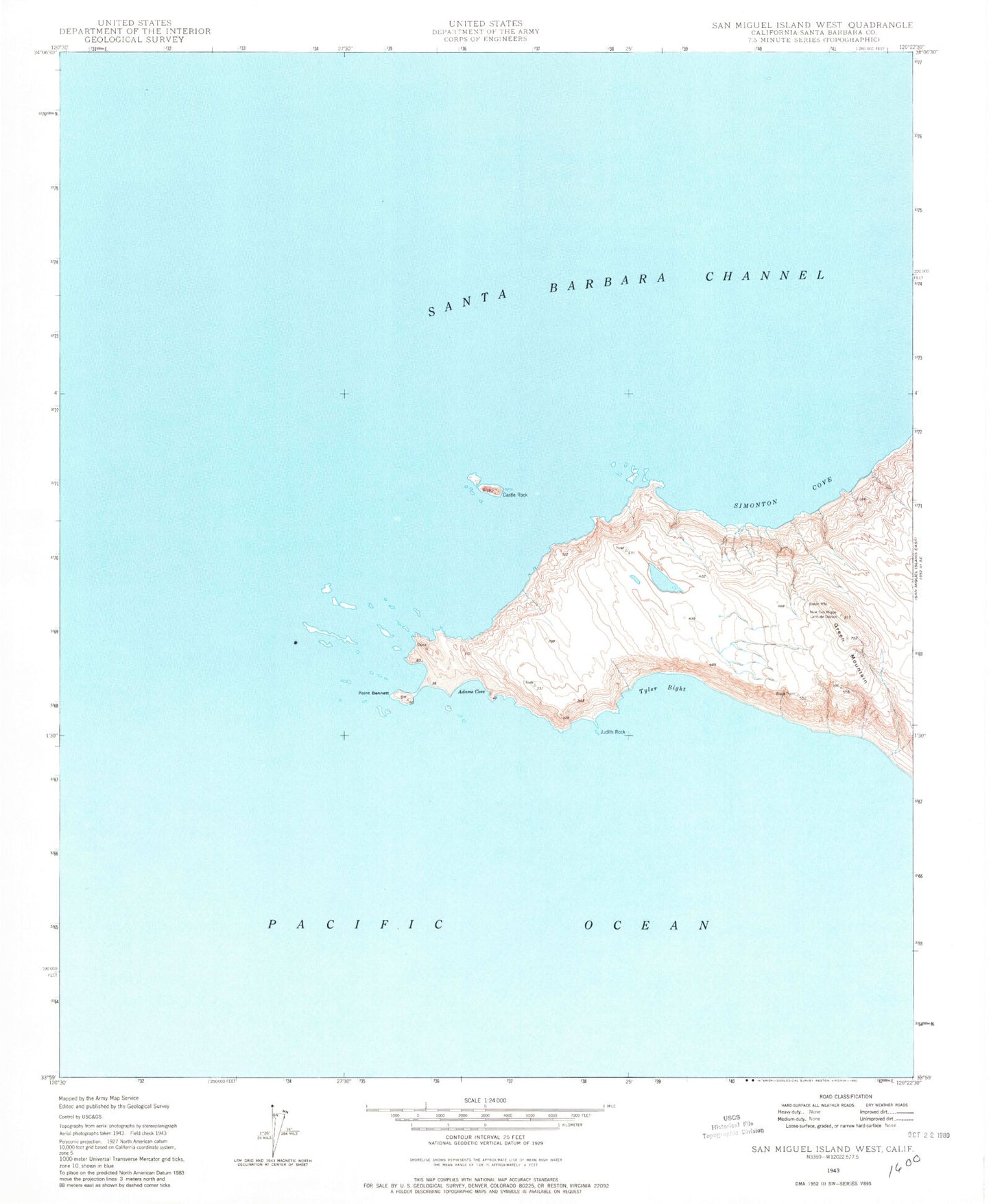
Historical USGS topographic quad map of San Miguel Island West in the state of California. Map scale may vary for some years, but is generally around 1:24,000. Print size is approximately 24" x 27"
This quadrangle is in the following counties: Santa Barbara.
The map contains contour lines, roads, rivers, towns, and lakes. Printed on high-quality waterproof paper with UV fade-resistant inks, and shipped rolled.
Contains the following named places: Adams Cove, Castle Rock, Green Mountain, Judith Rock, Oil Springs, Point Bennett, San Miguel Island, Simonton Cove, Tyler Bight, Westcott Shoal, Wilson Rock, Wycoff Ledge