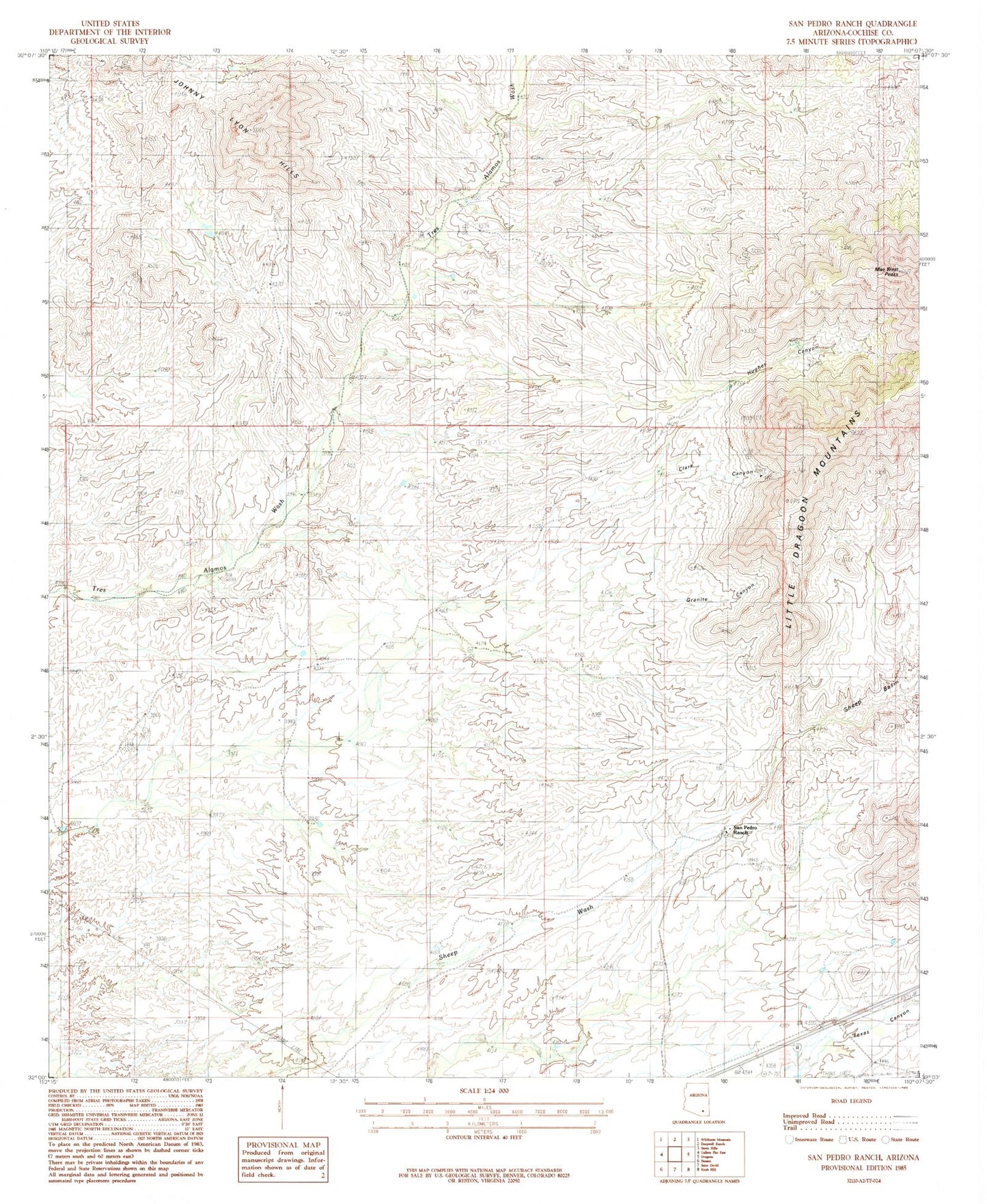
MyTopo
Classic USGS San Pedro Ranch Arizona 7.5'x7.5' Topo Map
Regular price
$16.95
Regular price
Sale price
$16.95
Unit price
per
Couldn't load pickup availability
Historical USGS topographic quad map of San Pedro Ranch in the state of Arizona. Map scale may vary for some years, but is generally around 1:24,000. Print size is approximately 24" x 27"
This quadrangle is in the following counties: Cochise.
The map contains contour lines, roads, rivers, towns, and lakes. Printed on high-quality waterproof paper with UV fade-resistant inks, and shipped rolled.
Contains the following named places: Clark Canyon, Coronado Substation, Granite Canyon, Hughes Canyon, Keith Peak, Keith Ranch, Mae West Peaks, San Pedro Ranch, Texas Canyon, Tungsten King Mine, ZIP Code: 85627