MyTopo
Classic USGS San Pedro Arizona 7.5'x7.5' Topo Map
Regular price
$16.95
Regular price
Sale price
$16.95
Unit price
per
Couldn't load pickup availability
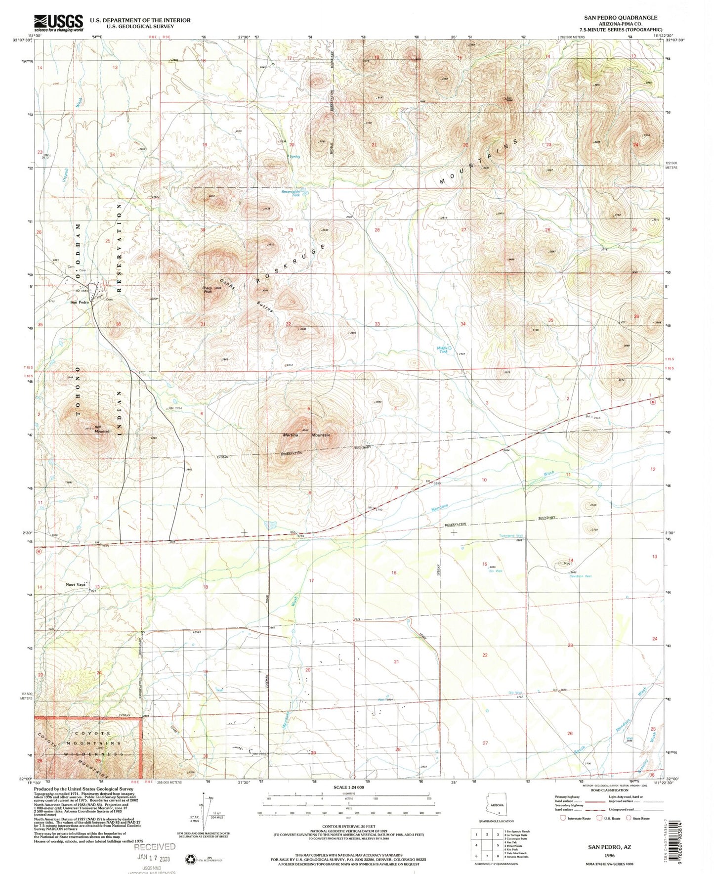
Historical USGS topographic quad map of San Pedro in the state of Arizona. Map scale may vary for some years, but is generally around 1:24,000. Print size is approximately 24" x 27"
This quadrangle is in the following counties: Pima.
The map contains contour lines, roads, rivers, towns, and lakes. Printed on high-quality waterproof paper with UV fade-resistant inks, and shipped rolled.
Contains the following named places: Bell Mountain, Coleman Ranch, Davidson Well, Dill Well, Dobbs Buttes, Martina Mountain, Middle Tank, Nawt Vaya, Reservation Tank, San Pedro, Sharp Peak, Townsend Well, U-Diamond Ranch