MyTopo
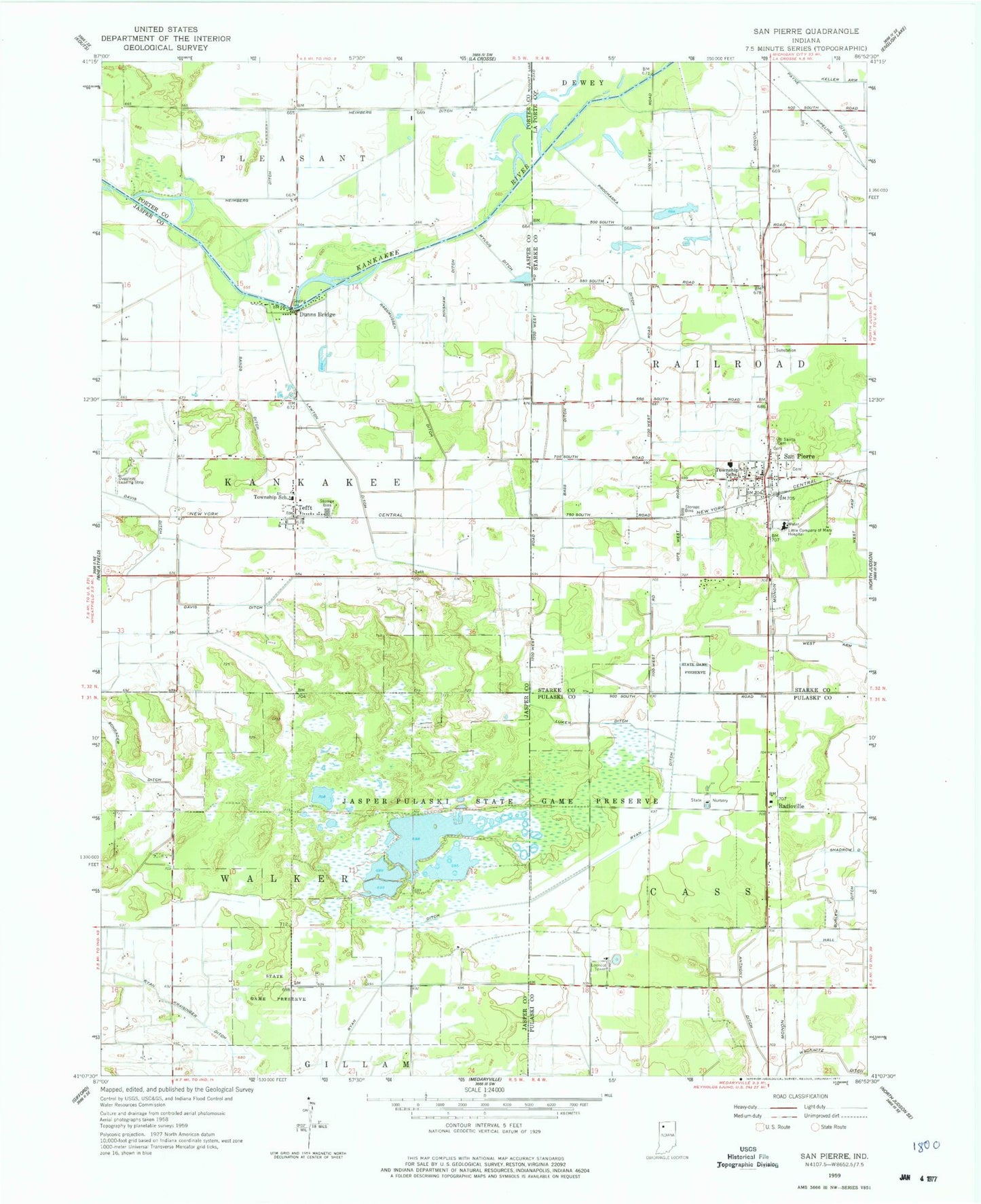
Classic USGS San Pierre Indiana 7.5'x7.5' Topo Map
Couldn't load pickup availability
Historical USGS topographic quad map of San Pierre in the state of Indiana. Typical map scale is 1:24,000, but may vary for certain years, if available. Print size: 24" x 27"
This quadrangle is in the following counties: Jasper, LaPorte, Porter, Pulaski, Starke.
The map contains contour lines, roads, rivers, towns, and lakes. Printed on high-quality waterproof paper with UV fade-resistant inks, and shipped rolled.
Contains the following named places: All Saints Cemetery, Anthony Ditch, Bass Ditch, Dunns Bridge, Hall Burlew Ditch, Hinshaw Ditch, Jasper-Pulaski Fish and Wildlife Area, Little Company of Mary Hospital, Luken Ditch, Mylius Ditch, Prochaska Ditch, Rassmussen Ditch, San Pierre, Sands Ditch, Shadrow Ditch, Tefft, West Arm Scholtz, Clarks, Elkheim Ditch, San Pierre Elementary School, Jasper-Pulaski Nursery, Armstrong Ditch, Joseph Salrin Arm, Ryan Kraisinger Ditch, Radioville, Township of Kankakee, San Pierre Census Designated Place, Zick Ditch, Railroad Township Volunteer Fire Department, San Pierre Post Office, San Pierre Public Cemetery