MyTopo
Classic USGS San Rafael Knob Utah 7.5'x7.5' Topo Map
Regular price
$16.95
Regular price
Sale price
$16.95
Unit price
per
Couldn't load pickup availability
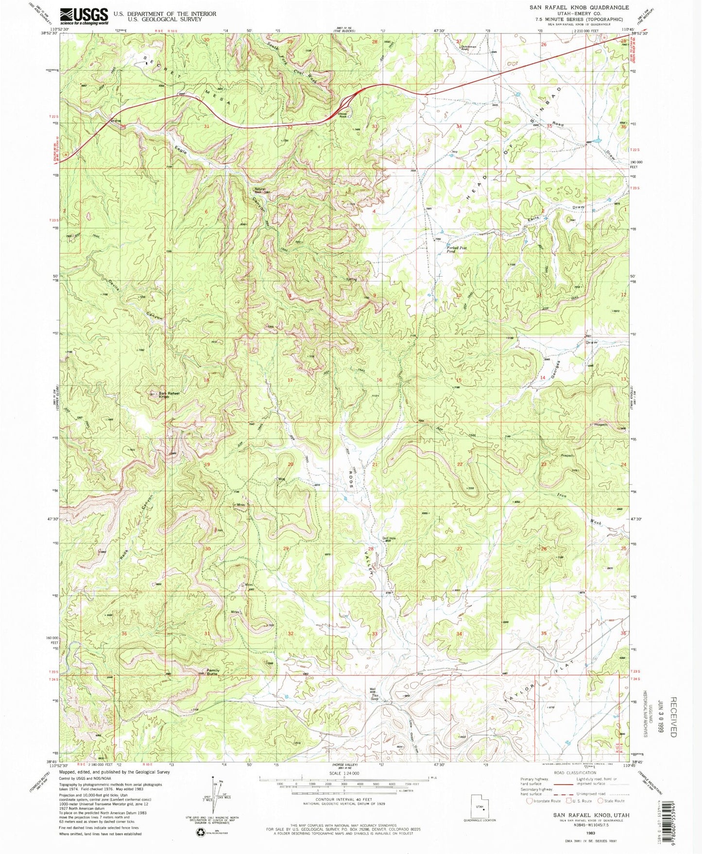
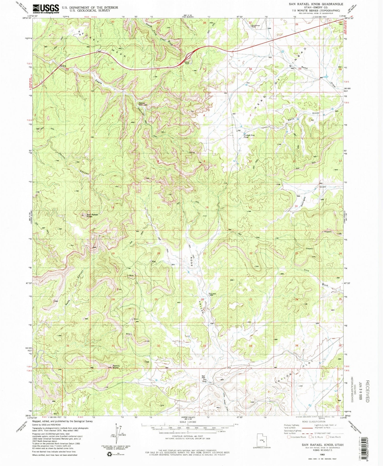
Historical USGS topographic quad map of San Rafael Knob in the state of Utah. Map scale may vary for some years, but is generally around 1:24,000. Print size is approximately 24" x 27"
This quadrangle is in the following counties: Emery.
The map contains contour lines, roads, rivers, towns, and lakes. Printed on high-quality waterproof paper with UV fade-resistant inks, and shipped rolled.
Contains the following named places: Dutchman Arch, Eagle Canyon Arch, Family Butte, Forked Post Pond, Ghost Rock, Head of Sinbad, Rods Valley, San Rafael Knob, Secret Mesa, Swasey Cabin, Tan Seep, Taylor Flat