MyTopo
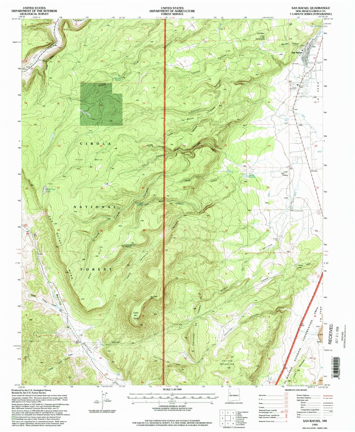
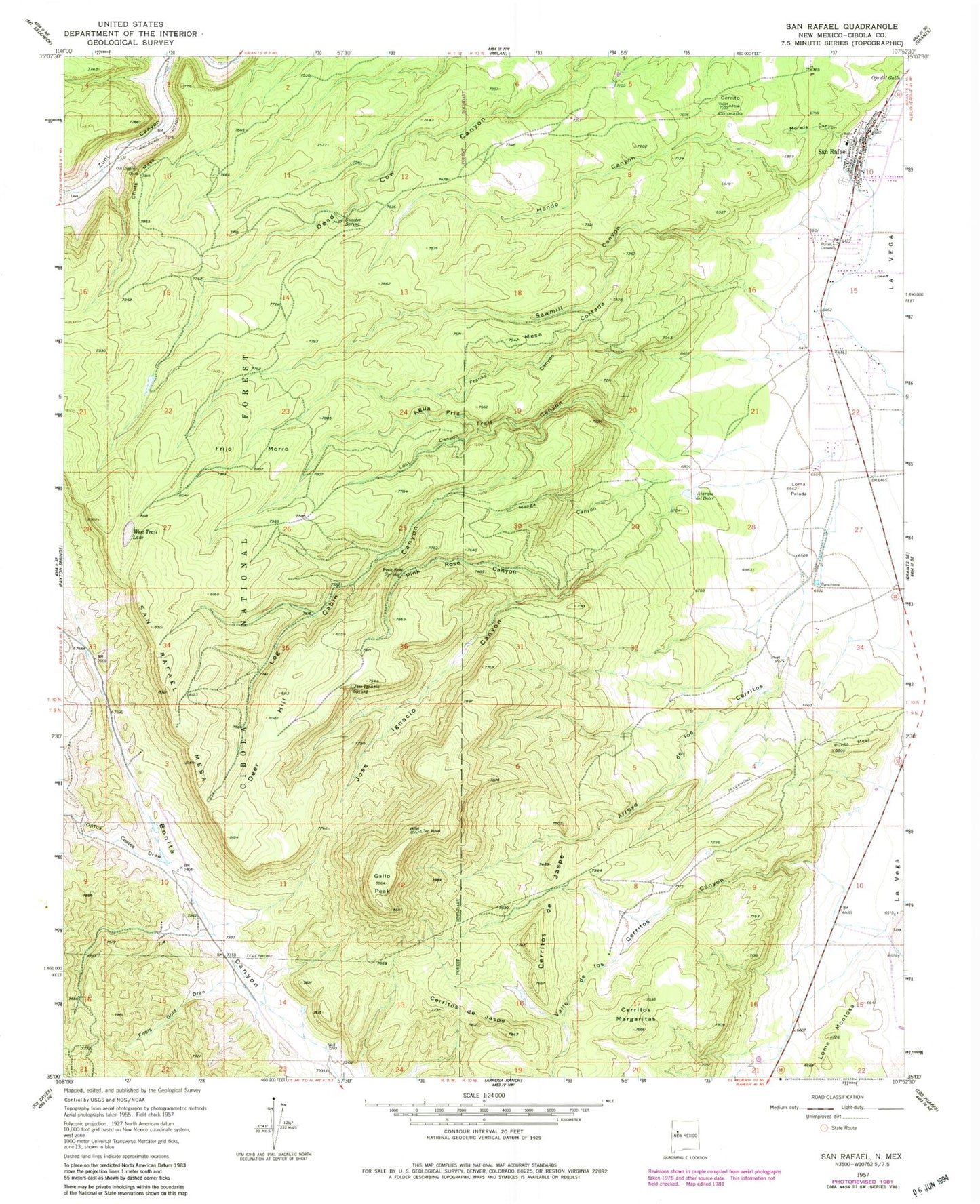
Classic USGS San Rafael New Mexico 7.5'x7.5' Topo Map
Couldn't load pickup availability
Historical USGS topographic quad map of San Rafael in the state of New Mexico. Map scale may vary for some years, but is generally around 1:24,000. Print size is approximately 24" x 27"
This quadrangle is in the following counties: Cibola.
The map contains contour lines, roads, rivers, towns, and lakes. Printed on high-quality waterproof paper with UV fade-resistant inks, and shipped rolled.
Contains the following named places: 10021 Water Well, 10036 Water Well, 10037 Water Well, 10038 Water Well, 10039 Water Well, 10043 Water Well, Agua Fria Trail Canyon, Arroyo de los Cerritos, Atarque del Doter, Boneekay Mine, Cerrito Colorado, Cerritos Margaritas, Chute Mesa, Cibola, Cooperation District Mine, Copper Hill District Mine, Deer Hill, Fools Gold Draw, Franks Canyon, Frijol Morro, Gallo Peak, Hanosh Mine, Hondo Canyon, Irene Number Two Mine, Jose Ignacio Canyon, Jose Ignacio Spring, KLLT-FM (Grants), KZNM-FM (Grants), La Morada Cemetery, Log Cabin Canyon, Loma Montosa, Loma Pelada, Lost Canyon, Low Lease Mine, Manga Canyon, Mathew - Whiteside Mine, Mesa Cortada, Miable Mine, Montezuma District Mine, Morada Canyon, Ojitos Cuates Draw, Ojo del Gallo, Pink Rose Canyon, Pink Rose Spring, Porter Cemetery, Punta Mesa, San Rafael, San Rafael Cemetery, San Rafael Census Designated Place, San Rafael Elementary School, San Rafael Historical Marker, San Rafael Mesa, San Rafael Parish, San Rafael Post Office, San Rafael Volunteer Fire Department, Sawmill Canyon, Section 15 Prospect, Slide Water Well, Snooter Spring, Valle de los Cerritos, West Trail Lake


