MyTopo
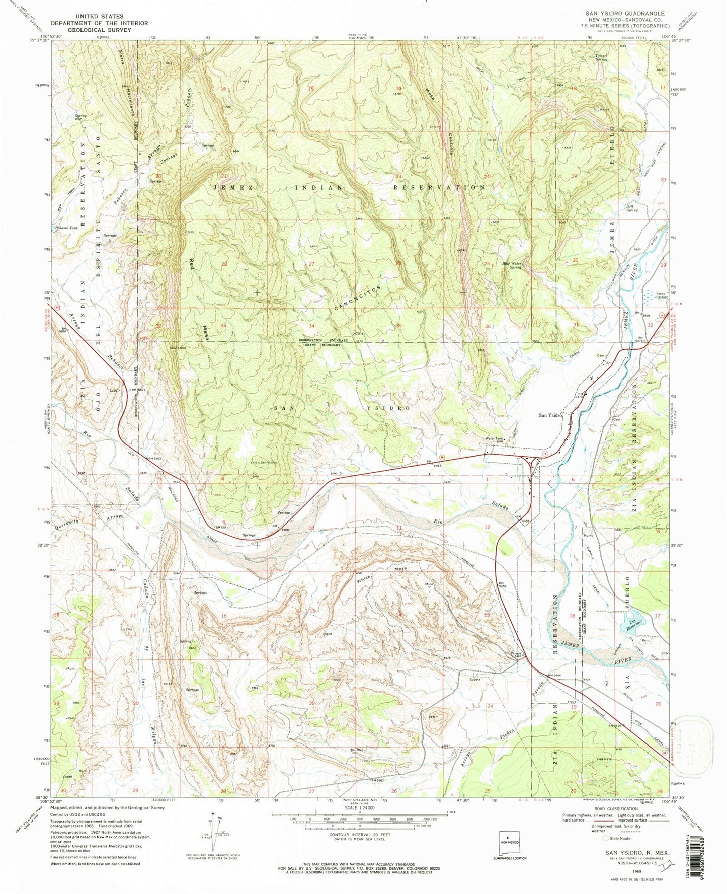
Classic USGS San Ysidro New Mexico 7.5'x7.5' Topo Map
Couldn't load pickup availability
Historical USGS topographic quad map of San Ysidro in the state of New Mexico. Map scale may vary for some years, but is generally around 1:24,000. Print size is approximately 24" x 27"
This quadrangle is in the following counties: Sandoval.
The map contains contour lines, roads, rivers, towns, and lakes. Printed on high-quality waterproof paper with UV fade-resistant inks, and shipped rolled.
Contains the following named places: Abandoned Water Well, Arroyo Penasco, Arroyo Piedra Parada, Blue Sky, Blue Water Spring, Canada de la Milpas, Canoncitos, Indian Spring, Jonas Pumice and Gypsum, Lone Star Prospect, Mesa Cuchilla, Mexican Ditch, Morris-Peters Prospect Number 2, Morris-Peters Prospect Number 3, Morris-Peters Prospect Number One, Pecos Pasture, Penasco Springs, Querencia Arroyo, Red Mesa, Rio Salado, Salt Spring, San Ysidro, San Ysidro Cemetery, San Ysidro Fire Department, San Ysidro Grant, San Ysidro Police Department, San Ysidro Post Office, Tunnel Spring, Vasquez de Coronados Route Historical Marker, Village of San Ysidro, White Mesa, White Mesa Gypsum Mine, White Mesa Pit, Zia Reservoir, Zia Supply Canal


