MyTopo
Classic USGS Sanbornville New Hampshire 7.5'x7.5' Topo Map
Couldn't load pickup availability
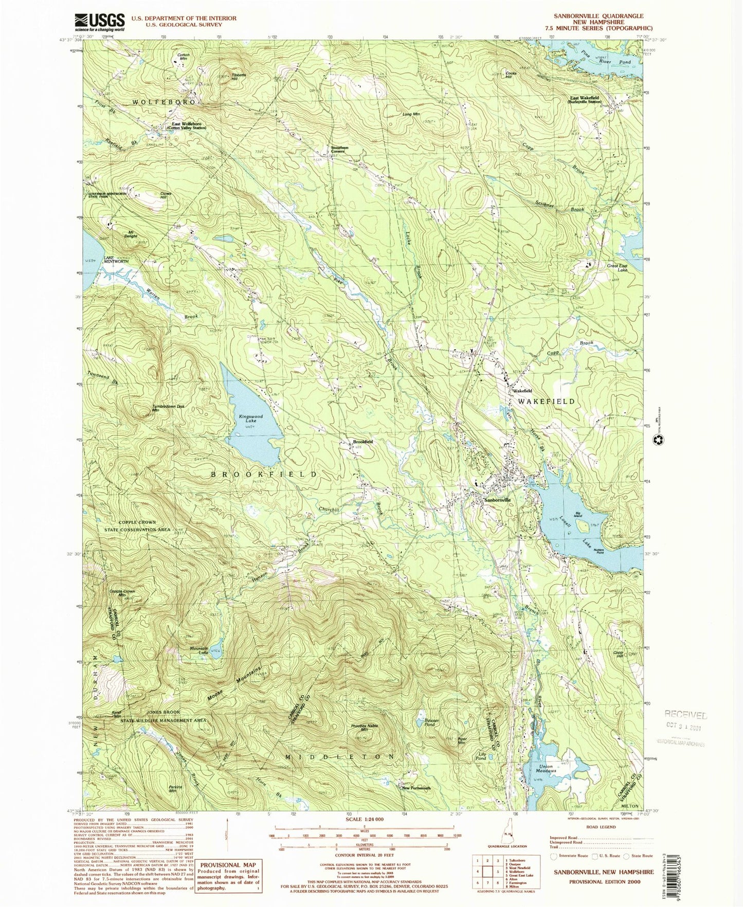
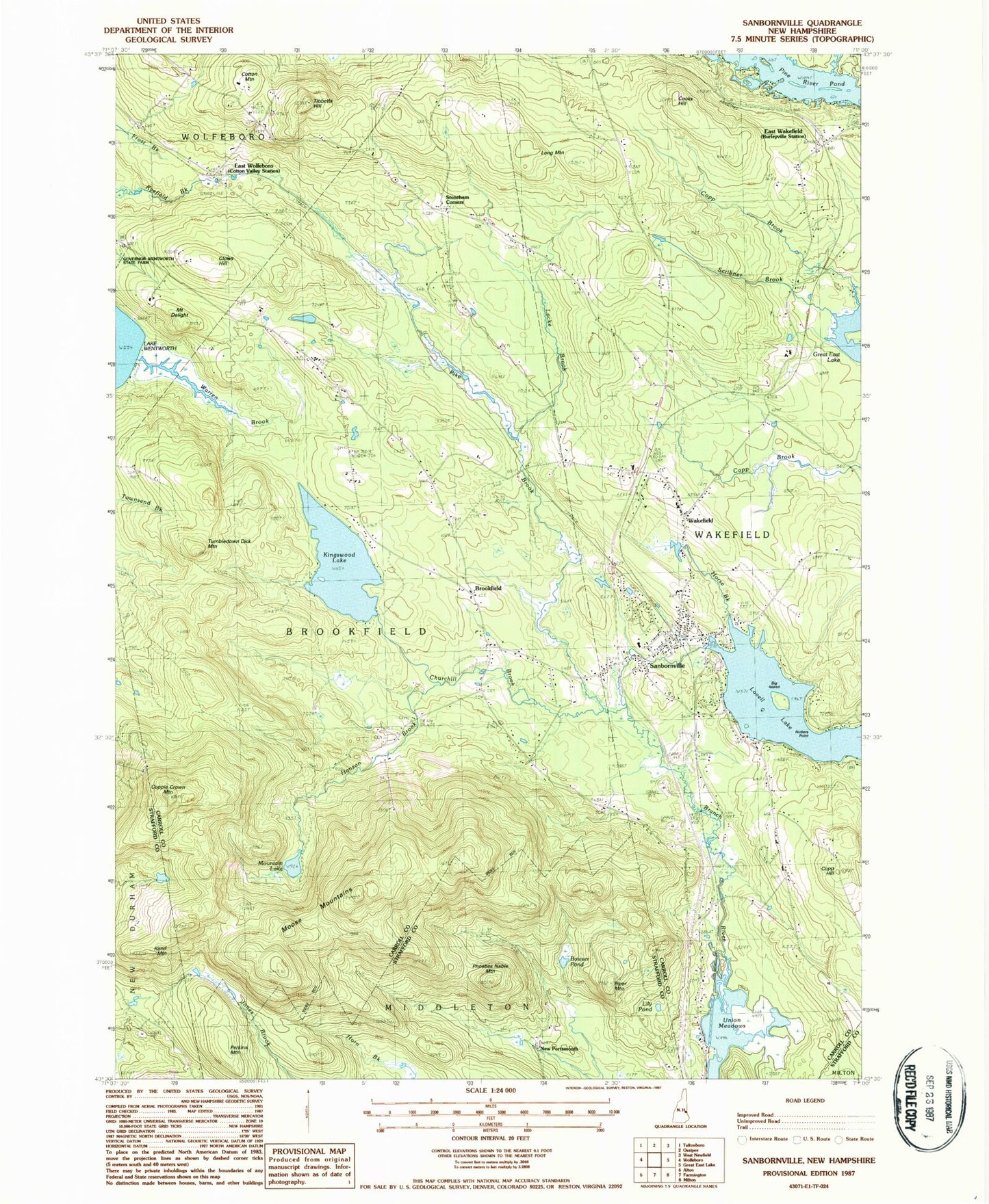
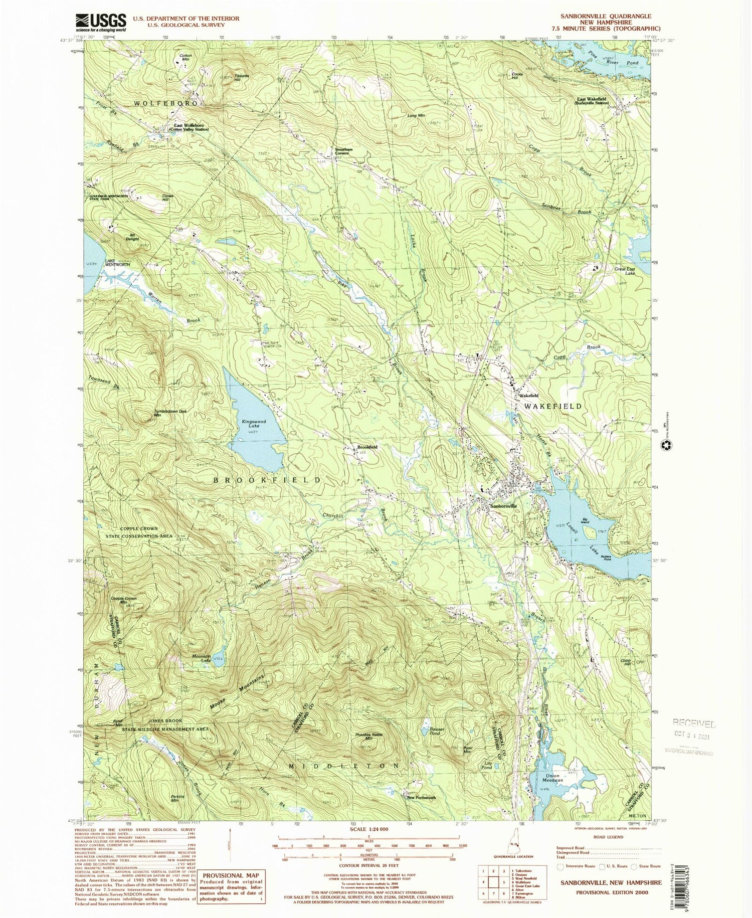
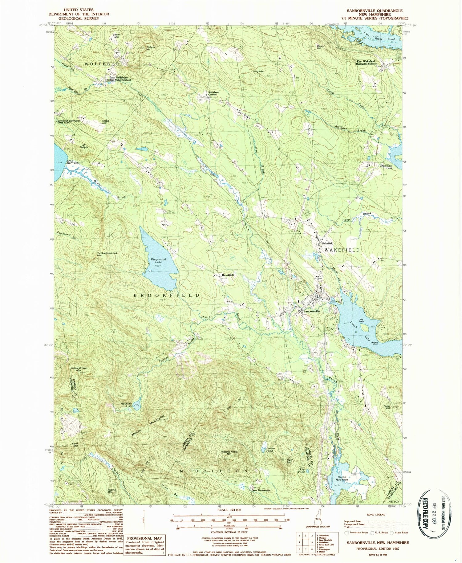
Historical USGS topographic quad map of Sanbornville in the state of New Hampshire. Typical map scale is 1:24,000, but may vary for certain years, if available. Print size: 24" x 27"
This quadrangle is in the following counties: Carroll, Strafford.
The map contains contour lines, roads, rivers, towns, and lakes. Printed on high-quality waterproof paper with UV fade-resistant inks, and shipped rolled.
Contains the following named places: Big Island, Bowser Pond, Brookfield, Churchill Brook, Clows Hill, Cooks Hill, Kingswood Lake, Copp Hill, Copple Crown Mountain, Cotton Mountain, Cotton Valley Station, Mount Delight, East Wakefield, East Wolfeboro, Hanson Brook, Horse Brook, Lily Pond, Locke Brook, Long Mountain, Lovell Lake, Moose Mountains, Mountain Lake, Nutters Point, Perkins Mountain, Phoebes Nable Mountain, Pike Brook, Pine River Pond, Piper Mountain, Rand Mountain, Sanbornville, Scribner Brook, Stoneham Corners, Tibbetts Hill, Tumbledown Dick Mountain, Union Meadows, Wakefield, Warren Brook, New Portsmouth, Town of Brookfield, Town of Wakefield, Lovell Lake Dam, Kingswood Lake Dam, Camp Birchmont, Church of Saint John the Baptist Episcopal Church, Gafney Library, Governor Wentworth State Farm, Greater Wakefield Chamber of Commerce, Jones Brook Wildlife Management Area, Lovell Lake Beach, Lovell Lake Boathouse, Moose Mountain Ski Area, Paul Elementary School, Saint Anthonys Church, Sanbornville Post Office, Union Elementary School, Union Meadows Pond, Wakefield Congregational Church, Wakefield Town Hall, Wakefield Village Historic District, Wakefield Fire and Rescue Station 1, Sanbornville Census Designated Place, Wakefield Police Department


