MyTopo
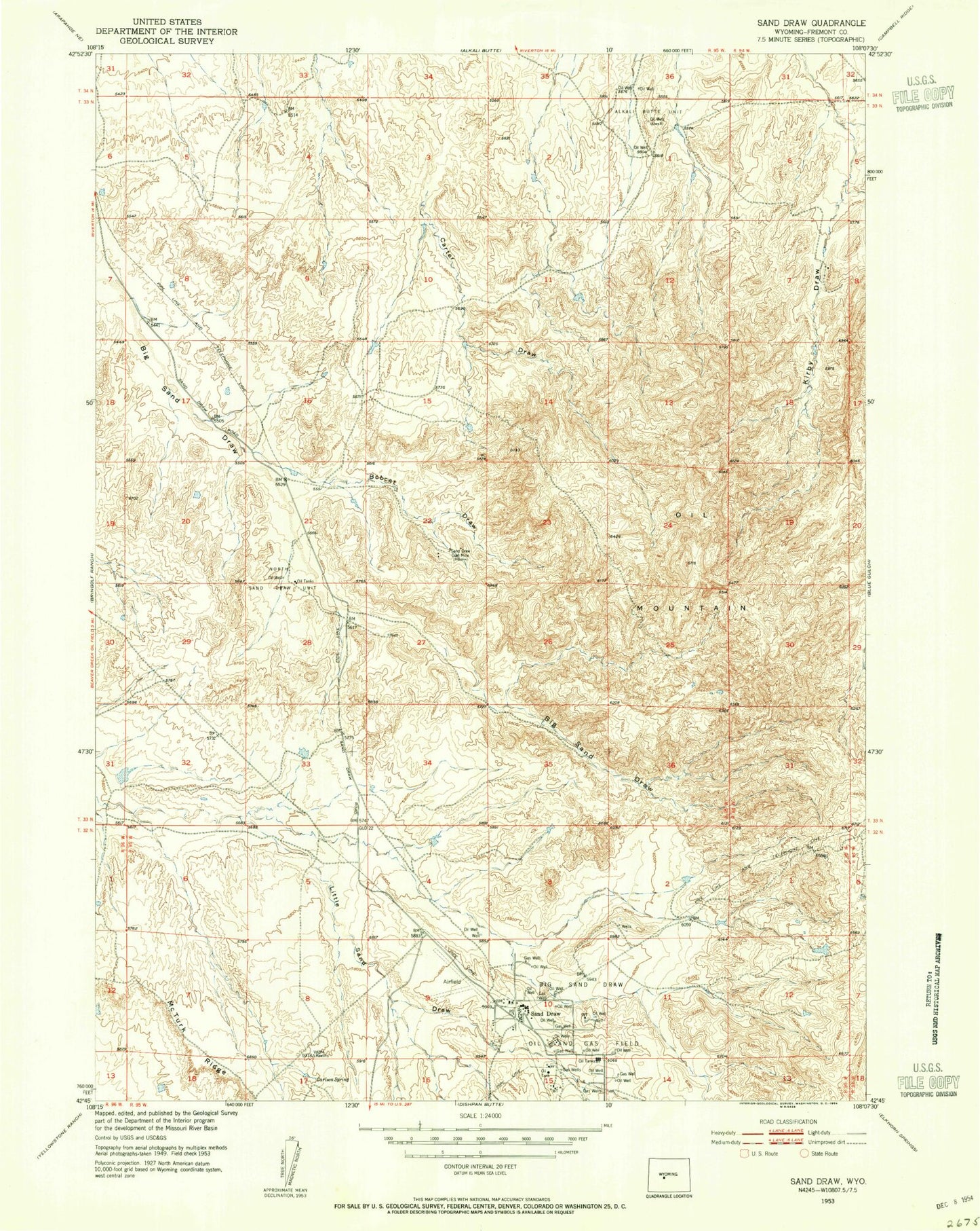
Classic USGS Sand Draw Wyoming 7.5'x7.5' Topo Map
Couldn't load pickup availability
Historical USGS topographic quad map of Sand Draw in the state of Wyoming. Map scale may vary for some years, but is generally around 1:24,000. Print size is approximately 24" x 27"
This quadrangle is in the following counties: Fremont.
The map contains contour lines, roads, rivers, towns, and lakes. Printed on high-quality waterproof paper with UV fade-resistant inks, and shipped rolled.
Contains the following named places: Alkali Butte Unit, Big Sand Draw Oil and Gas Field, Blue Star Number Twenty Mine, Bobcat Draw, Carlson Spring, Downey Mine, E-Twenty Claim, Jent Number Six Mine, Jonebell Number Ten Mine, Linda Number Two Mine, McTurk Ridge, North Sand Draw Unit, Oil Mountain, Sand Draw, Sand Draw Coal Mine