MyTopo
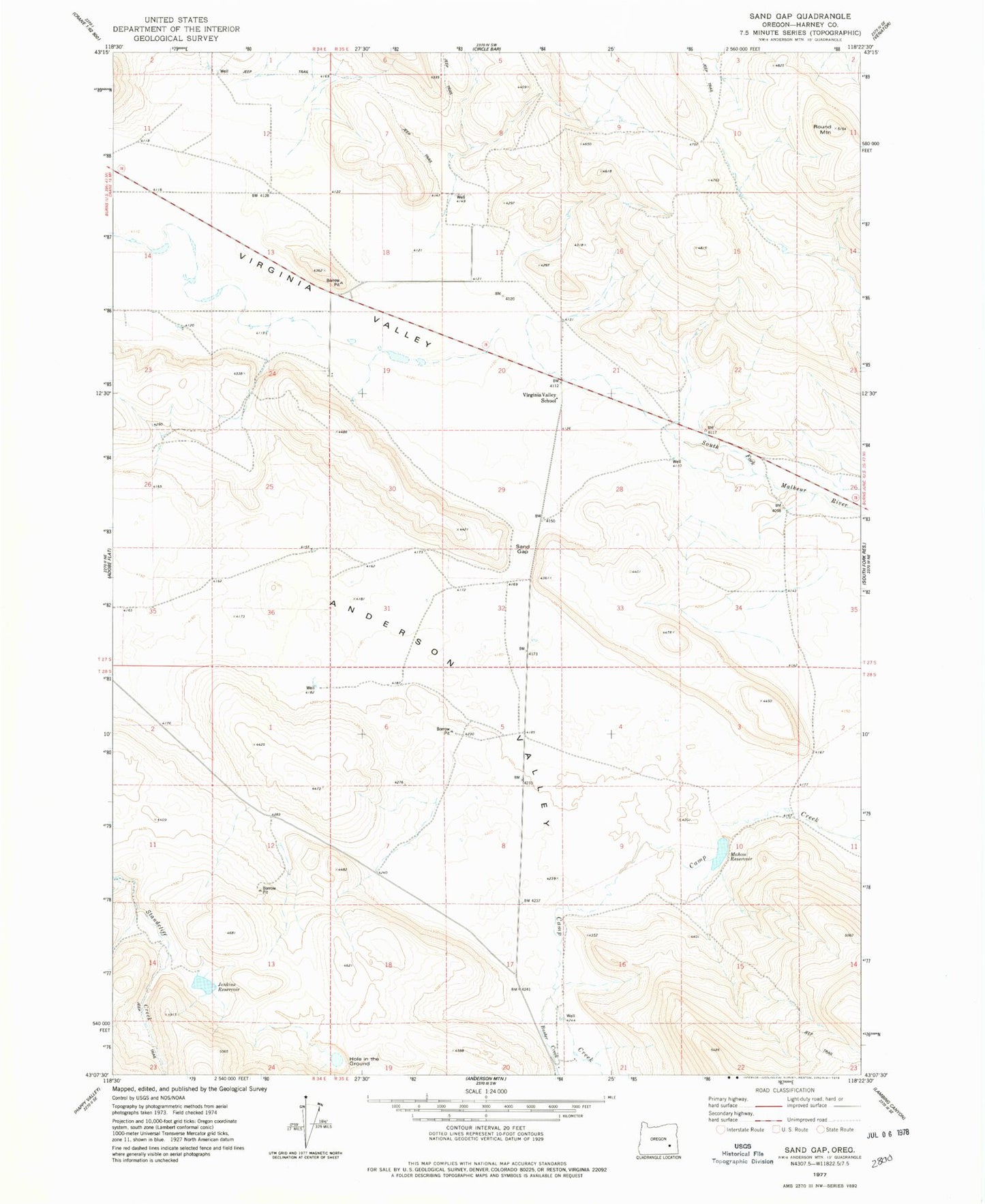
Classic USGS Sand Gap Oregon 7.5'x7.5' Topo Map
Regular price
$16.95
Regular price
Sale price
$16.95
Unit price
per
Couldn't load pickup availability
Historical USGS topographic quad map of Sand Gap in the state of Oregon. Map scale may vary for some years, but is generally around 1:24,000. Print size is approximately 24" x 27"
This quadrangle is in the following counties: Harney.
The map contains contour lines, roads, rivers, towns, and lakes. Printed on high-quality waterproof paper with UV fade-resistant inks, and shipped rolled.
Contains the following named places: Anderson Valley Ranch, Buster Creek, Davies Place, Hole in the Ground, Jenkins Reservoir, Mahon Dam, Mahon Reservoir, Round Mountain, Sand Gap, Saunders Place, Tom Jenkins Ranch, Virginia Valley School