MyTopo
Classic USGS Sand Hill New Mexico 7.5'x7.5' Topo Map
Regular price
$16.95
Regular price
Sale price
$16.95
Unit price
per
Couldn't load pickup availability
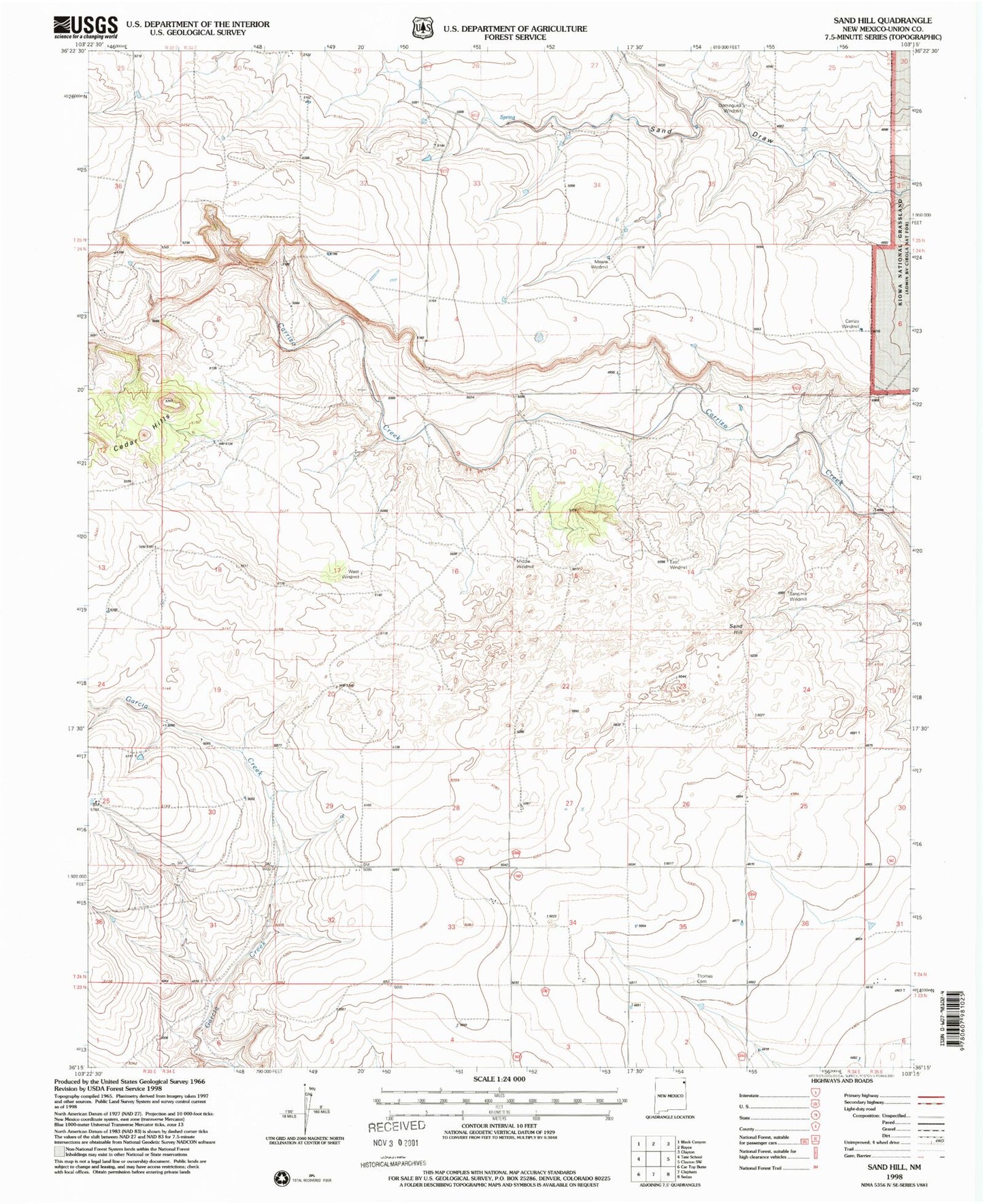
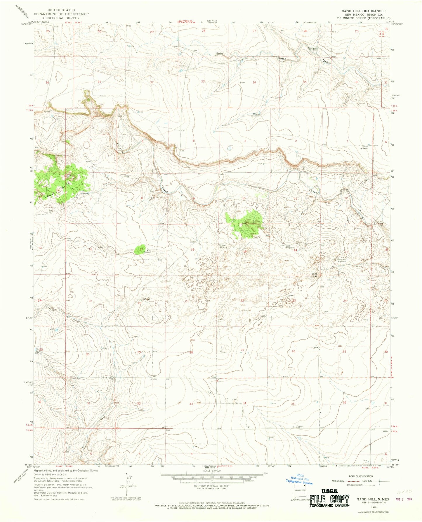
Historical USGS topographic quad map of Sand Hill in the state of New Mexico. Map scale may vary for some years, but is generally around 1:24,000. Print size is approximately 24" x 27"
This quadrangle is in the following counties: Union.
The map contains contour lines, roads, rivers, towns, and lakes. Printed on high-quality waterproof paper with UV fade-resistant inks, and shipped rolled.
Contains the following named places: Carrizo Windmill, Cedar Hills, Domingues Windmill, East Windmill, McCarley, Means Windmill, Middle Windmill, Sand Hill, Sand Hill Windmill, Thomas Cemetery, West Windmill, ZIP Code: 88415