MyTopo
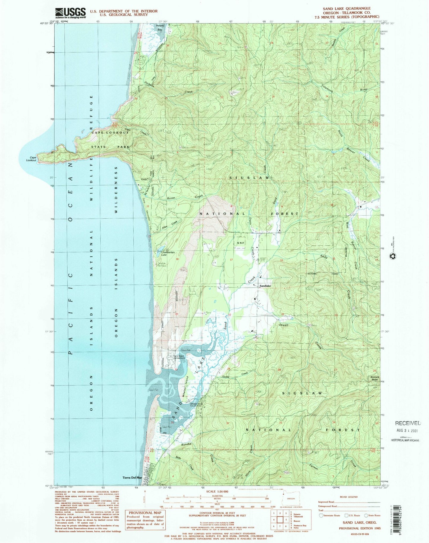
Classic USGS Sand Lake Oregon 7.5'x7.5' Topo Map
Couldn't load pickup availability
Historical USGS topographic quad map of Sand Lake in the state of Oregon. Typical map scale is 1:24,000, but may vary for certain years, if available. Print size: 24" x 27"
This quadrangle is in the following counties: Tillamook.
The map contains contour lines, roads, rivers, towns, and lakes. Printed on high-quality waterproof paper with UV fade-resistant inks, and shipped rolled.
Contains the following named places: Netarts Bay Campground, Whalen Island, Allen Creek, Andy Creek, Beltz Dike, Big Medicine Creek, Buzzard Butte, Camp Clark, Camp Meriwether, Cape Creek, Cape Lookout, Cape Lookout State Park, Chamberlain Lake, Jackson Creek, Jewel Creek, Reneke Creek, Rover Creek, Sand Creek, Sandlake, Clay Myers State Natural Area at Whalen Island, Davis Creek, Gurtis Creek, Beltz Creek, Sand Beach Recreation Site, Sand Lake, Sandlake Post Office (historical), Tierra Del Mar, Wells Cove, East Dunes Recreation Site, West Winds Recreation Site, Hathaway Creek, Nestucca Rural Fire Protection District Station 85 Sandlake, Clay Myers State Natural Area at Whalen Island Boat Launch


