MyTopo
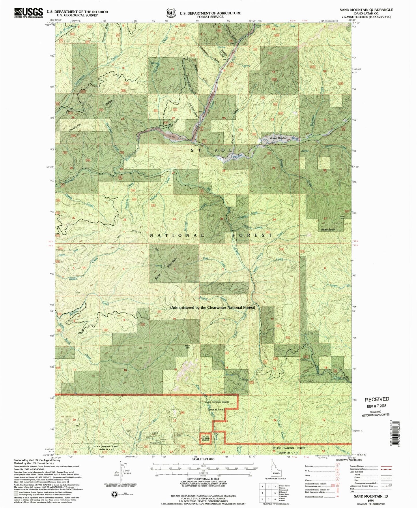
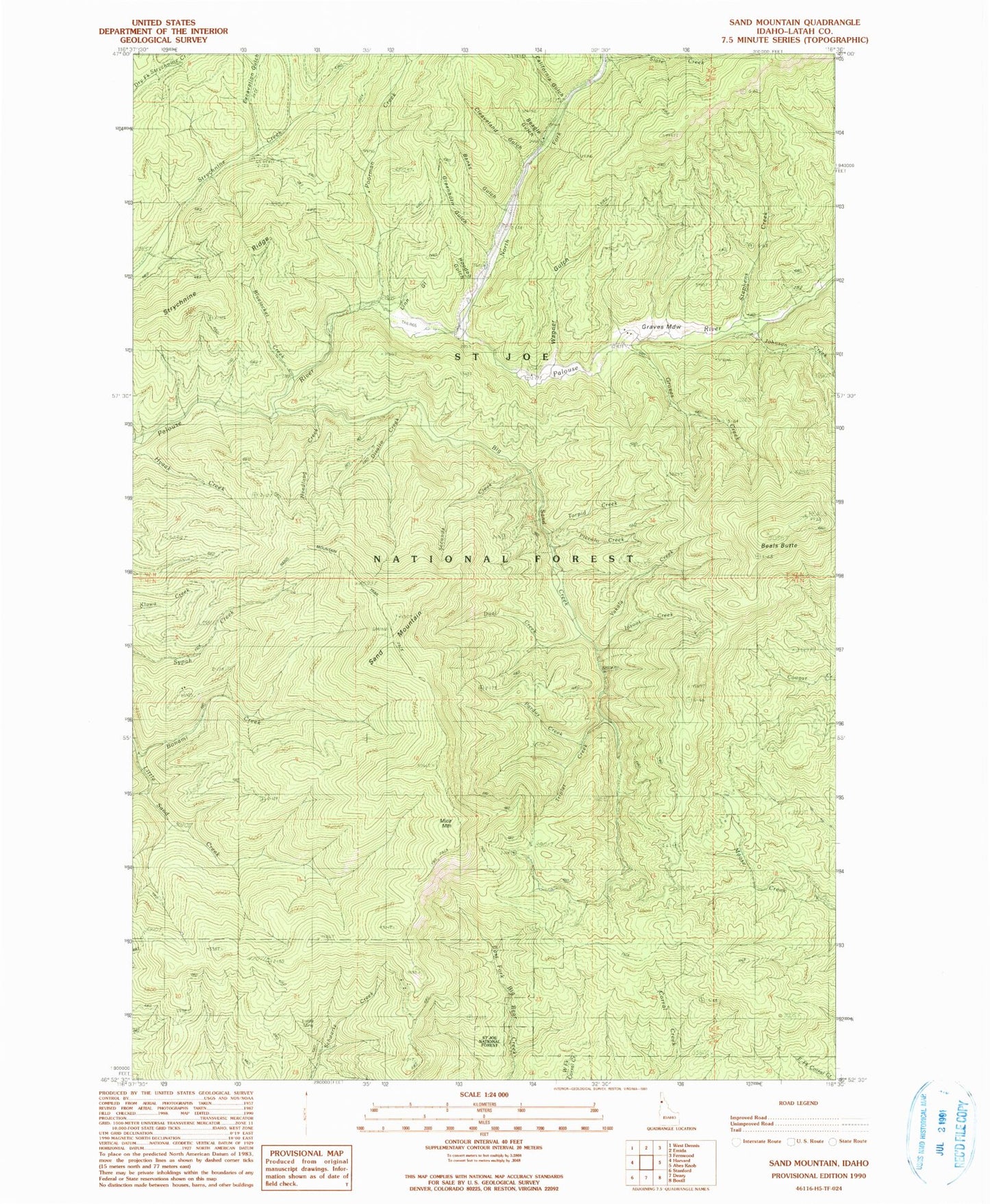
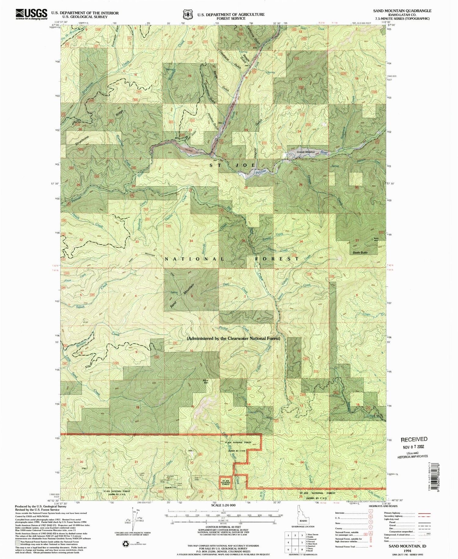
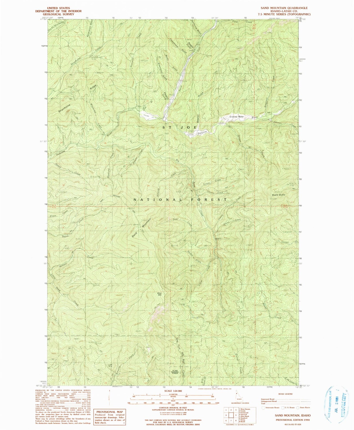
Classic USGS Sand Mountain Idaho 7.5'x7.5' Topo Map
Couldn't load pickup availability
Historical USGS topographic quad map of Sand Mountain in the state of Idaho. Typical map scale is 1:24,000, but may vary for certain years, if available. Print size: 24" x 27"
This quadrangle is in the following counties: Latah.
The map contains contour lines, roads, rivers, towns, and lakes. Printed on high-quality waterproof paper with UV fade-resistant inks, and shipped rolled.
Contains the following named places: Wagner Gulch, Banks Gulch, Beagle Gulch, Beals Butte, Big Sand Creek, Bluejacket Creek, Bonami Creek, California Gulch, Cleveland Gulch, Disalto Creek, Doer Mine, Dual Creek, Excavation Gulch, Graves Creek, Graves Meadow, Greenhorn Gulch, Headlong Creek, Hoodoo Gulch, Ipsoot Creek, Johnson Creek, Last Chance Mine, Linn Gulch, Luella Mine, Mizpah Creek, North Fork Palouse River, Olson Mine, Pardus Creek, Piccolo Creek, Poorman Creek, Sand Mountain Lookout Trail, Secunda Creek, Slate Creek, Stephens Creek, Strychnine Ridge, Torpid Creek, Triplet Creek, Yakala Creek, Mica Mountain, Sand Mountain


