MyTopo
Classic USGS Sanderson NW Florida 7.5'x7.5' Topo Map
Regular price
$16.95
Regular price
Sale price
$16.95
Unit price
per
Couldn't load pickup availability
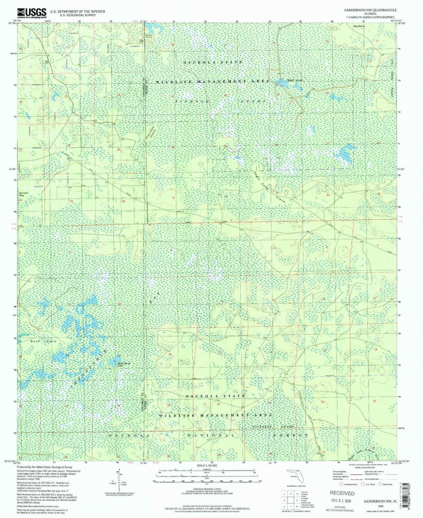
Historical USGS topographic quad map of Sanderson NW in the state of Florida. Map scale may vary for some years, but is generally around 1:24,000. Print size is approximately 24" x 27"
This quadrangle is in the following counties: Baker, Columbia.
The map contains contour lines, roads, rivers, towns, and lakes. Printed on high-quality waterproof paper with UV fade-resistant inks, and shipped rolled.
Contains the following named places: Big Bend, Big Camp Hunt Camp, Buck Island, Buck Island Lake, Buckhead Swamp, Clay Hole Island, Impassable Bay, Negro Camp Island, Noah Island, Osceola Natural Area, Pinhook Swamp, Reddish Millsite