MyTopo
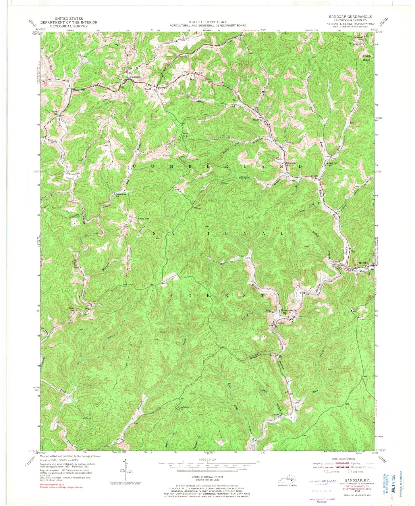
Classic USGS Sandgap Kentucky 7.5'x7.5' Topo Map
Couldn't load pickup availability
Historical USGS topographic quad map of Sandgap in the state of Kentucky. Typical map scale is 1:24,000, but may vary for certain years, if available. Print size: 24" x 27"
This quadrangle is in the following counties: Jackson.
The map contains contour lines, roads, rivers, towns, and lakes. Printed on high-quality waterproof paper with UV fade-resistant inks, and shipped rolled.
Contains the following named places: Becket Branch, Bethel School, Birch Lick Church, Birch Lick Creek, Cavanaugh School, Clover Bottom Creek, Dry Branch, Elisha Branch, Gravel Lick Branch, Gravel Lick School, Hooten Branch, Hurley, Hurst School, Lettered Rock Church, Lower Bills Branch, Mayapple Branch, Pigeon Roost Creek, Poplar Lick Branch, Rock Lick Branch, Roses Fork, Sand Lick Creek, Sand Lick School, Sandgap, Shop Branch, Stone Coal Branch, Toms Branch, Upper Indian Creek School, Walkers Branch, Waneta, Whetstone Branch, Old Field Branch, S Tree Campground, Mill Creek Wildlife Management Area, Jackson County, S Tree Lookout Tower, School Number 1, School Number 2, Sandgap Division, Hurley Post Office (historical), Joes Branch, McKee Post Office, Shop Branch Post Office (historical), Upper Indian Creek (historical), Waneta Post Office, Sand Lick, Stone Coal Lick, Bethel Baptist Church, Birch Lick School (historical), Carpenter Ridge, Collier Post Office (historical), Collingsworth Post Office (historical), Congleton Hollow, Deer Stable Baptist Church, Garden Hollow, Gravel Lick, Bethel (historical), Sand Gap Fire Department, Sandgap Post Office


