MyTopo
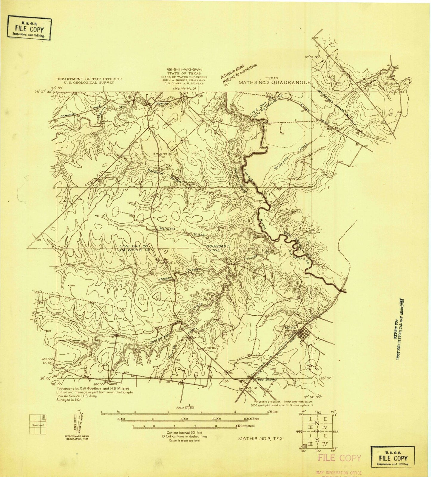
Classic USGS Sandia Texas 7.5'x7.5' Topo Map
Couldn't load pickup availability
Historical USGS topographic quad map of Sandia in the state of Texas. Map scale may vary for some years, but is generally around 1:24,000. Print size is approximately 24" x 27"
This quadrangle is in the following counties: Jim Wells, Live Oak, San Patricio.
The map contains contour lines, roads, rivers, towns, and lakes. Printed on high-quality waterproof paper with UV fade-resistant inks, and shipped rolled.
Contains the following named places: Arrowhead Airport, Barbone Creek, Beldon Hollow, Camp Merrill, Carmel Hills, Casa Blanca, Charquitas Creek, Hobbs Hollow, Hodges Addition Colonia, John L Norris Colonia, Lagarto, Lagarto Volunteer Fire Department, Lake City, Lake Corpus Christi State Park, Mesquite Island, Millers Bluff, Norris Tract Number 2 Colonia, Old Casa Blanca Fort, Penitas Creek, Pernitas Point, Rozypal Estates Colonia, Sandia, Sandia Ambulance Services, Sandia Fire Department, Sandia Post Office, Town of Lake City, Village of Pernitas Point, Wade Cemetery, Wade Ranch, Wadeside Addition Colonia, Zephyr Encampment, ZIP Code: 78383


