MyTopo
Classic USGS Sandpoint Idaho 7.5'x7.5' Topo Map
Couldn't load pickup availability
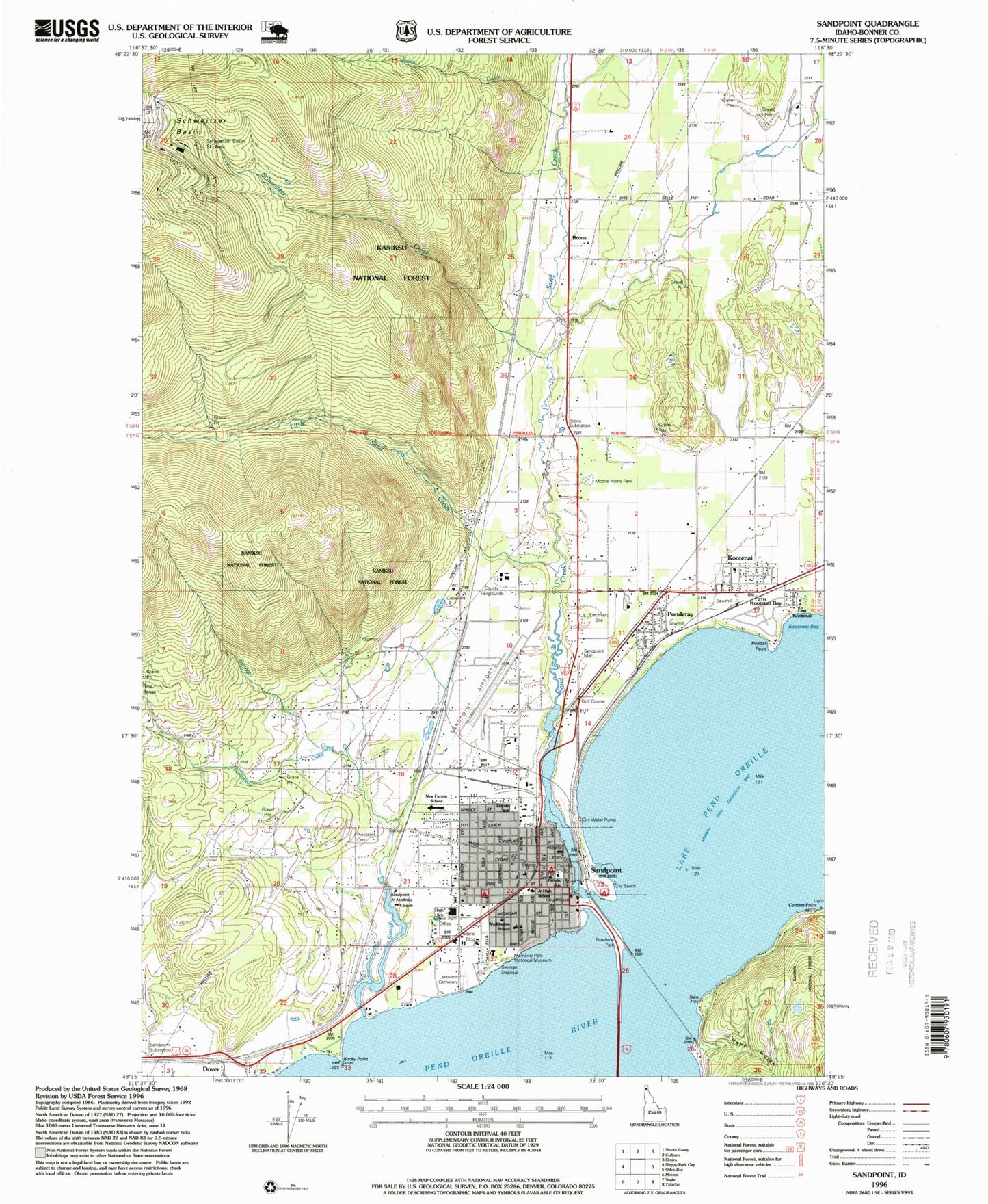
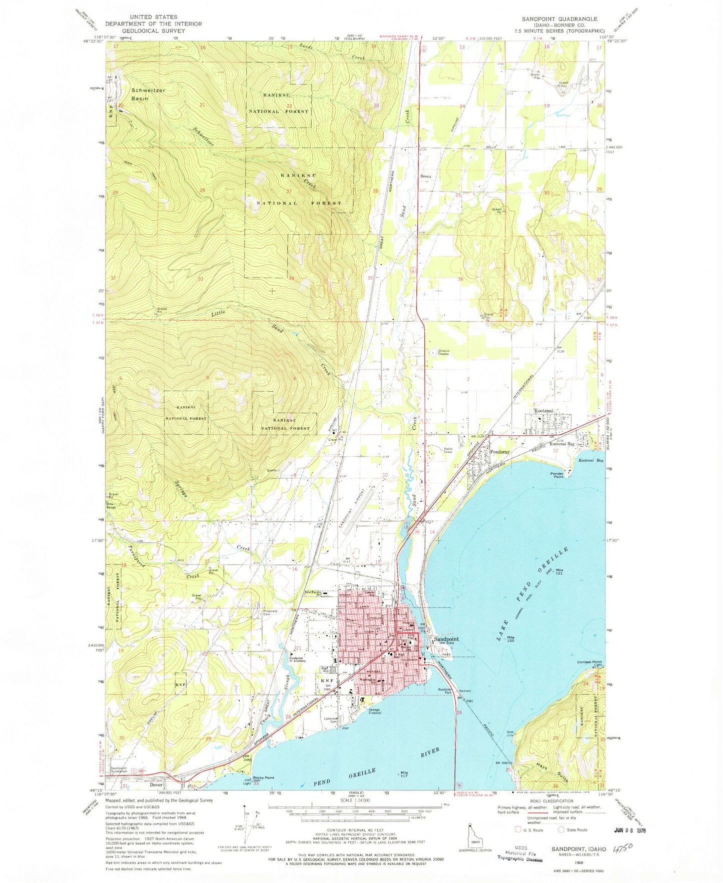
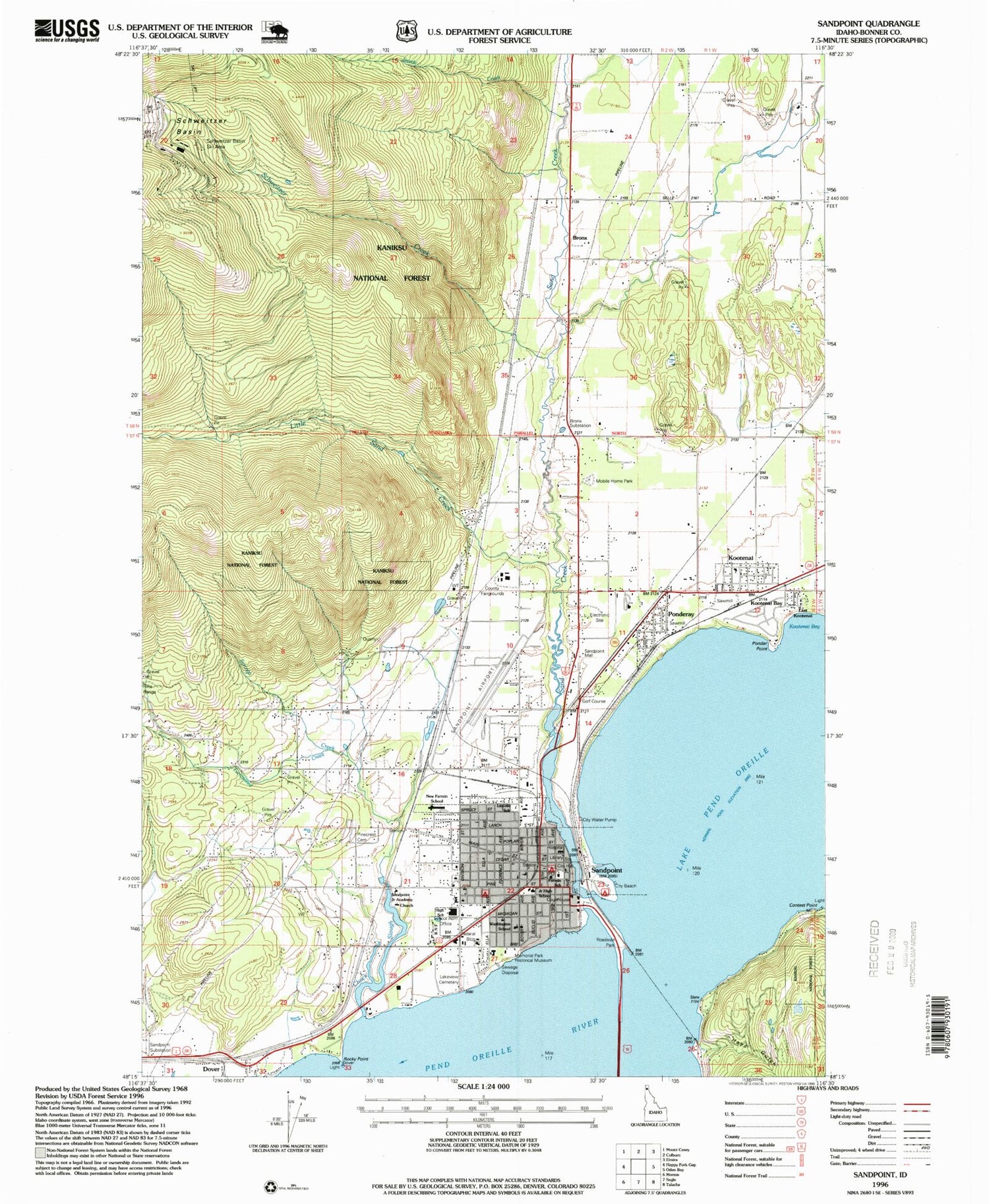
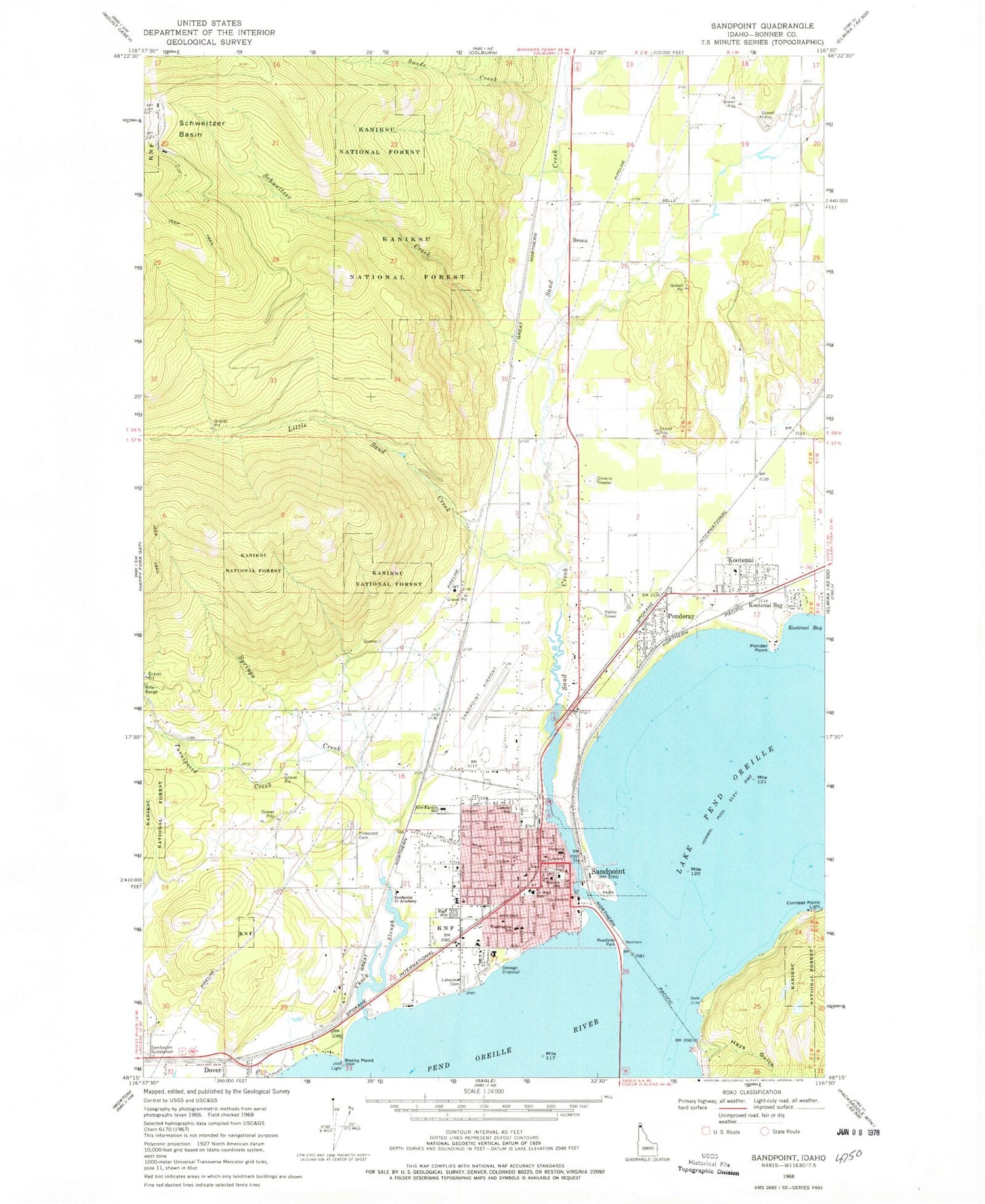
Historical USGS topographic quad map of Sandpoint in the state of Idaho. Map scale may vary for some years, but is generally around 1:24,000. Print size is approximately 24" x 27"
This quadrangle is in the following counties: Bonner.
The map contains contour lines, roads, rivers, towns, and lakes. Printed on high-quality waterproof paper with UV fade-resistant inks, and shipped rolled.
Contains the following named places: Bonner County, Bonner County Emergency Medical Services, Bonner County Fairgrounds, Bonner County Sheriff's Office, Bonner General Hospital, Bonner Mall, Bronx, Bronx Substation, Chuck Slough, City of Dover, City of Kootenai, City of Ponderay, City of Sandpoint, Contest Point, Dover, East Kootenai, Farmin School, Farmin Stidwell Elementary School, Hays Gulch, KJDE-FM (Sandpoint), Kootenai, Kootenai Bay, KPND-FM (Sandpoint), KSPT-AM (Sandpoint), Lake Pend Oreille Alternative High School, Lake Plaza, Lakeview Cemetery, Lincoln School, Little Sand Creek, Memorial Park Historical Museum, Murray Airport, Northside Fire District Station 1, Northside Fire District Station 2, Olmstead Sky Ranch Airport, Pine Street Park, Pinecrest Cemetery, Ponder Point, Ponderay, Ponderay Police Department, Ponderay Post Office, Rocky Point, Sand Creek, Sandpoint, Sandpoint Airport, Sandpoint High School, Sandpoint Junior Academy, Sandpoint Mall, Sandpoint Middle School, Sandpoint Post Office, Sandpoint Substation, Schweitzer Creek, Schweitzer Fire District, Selkirk Fire Dover Station, Selkirk Fire Station 1, Selkirk School, Swede Creek, Syringa Creek, Triangle Park, Turnipseed Creek, Washington Elementary School, ZIP Codes: 83840, 83852


