MyTopo
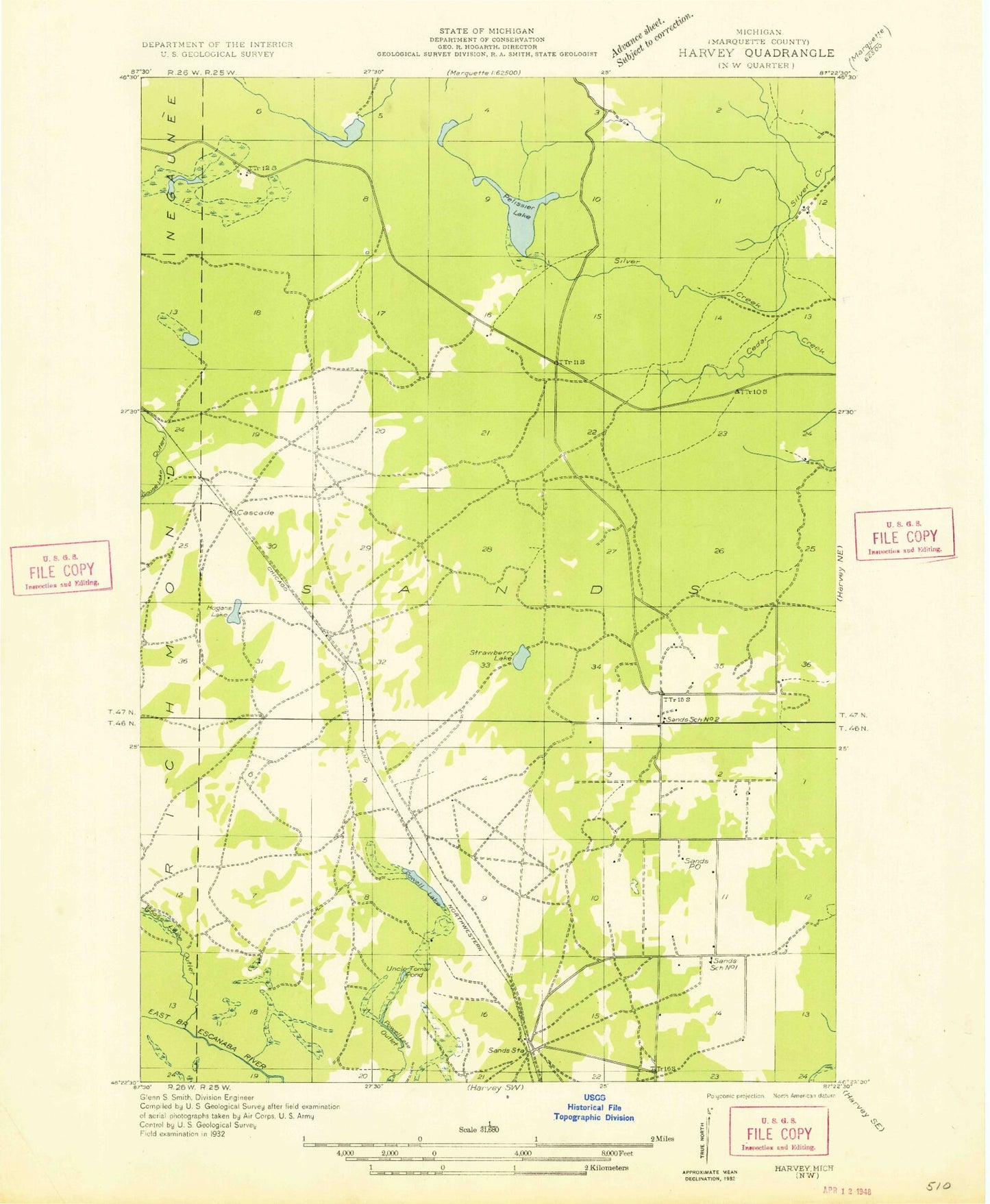
Classic USGS Sands Michigan 7.5'x7.5' Topo Map
Couldn't load pickup availability
Historical USGS topographic quad map of Sands in the state of Michigan. Typical map scale is 1:24,000, but may vary for certain years, if available. Print size: 24" x 27"
This quadrangle is in the following counties: Marquette.
The map contains contour lines, roads, rivers, towns, and lakes. Printed on high-quality waterproof paper with UV fade-resistant inks, and shipped rolled.
Contains the following named places: Carp River Lake, Goose Lake Outlet, Grace Lake, Harvey Lake, Little Pelissier Lake, Migisy Bluff, Mud Lake, Pelissier Lake, Powell Lake, Powell Lake Outlet, Ragged Hills, Sands, Sands Station, Strawberry Lake, Uncle Tom Lake, Cascade, Gentian, WHWL-FM (Marquette), Township of Sands, Lake Superior Christian Church, Marquette County Fairgrounds, Sands Post Office (historical), Sands Trailer Court, Grace Korean Church, Shiloh Baptist Church, Sands Township Fire Department