MyTopo
Classic USGS Sandstone Mountain Arkansas 7.5'x7.5' Topo Map
Couldn't load pickup availability
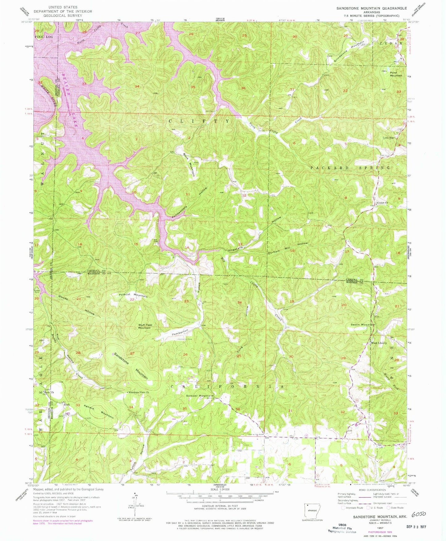
Historical USGS topographic quad map of Sandstone Mountain in the state of Arkansas. Map scale may vary for some years, but is generally around 1:24,000. Print size is approximately 24" x 27"
This quadrangle is in the following counties: Benton, Carroll, Madison.
The map contains contour lines, roads, rivers, towns, and lakes. Printed on high-quality waterproof paper with UV fade-resistant inks, and shipped rolled.
Contains the following named places: Beulah Church, Beulah Union Cemetery, Bluff Field Mountain, Buck Mountain, Buck Mountain Airport, Durham Mill Hollow, Grindstone Mountain, Hogscald Hollow, Kenars Mountain, Kirk Hollow, Lone Star, Long Hollow, Mountain View Church, Mundell, North Clifty Creek, Pemberton Cemetery, Pemberton Hollow, Penitentiary Hollow, Polecat Mountain, Pond Mountain, Rambo Cemetery, Rock, Rock Cemetery, Rock Church, Samuel Mountain, Sandstone Mountain, Springlawn Post Office, Swain Mountain, Township of California, Township of Clifty, Township of Packard Springs, Union Chapel, West Liberty, Woods Hollow


