MyTopo
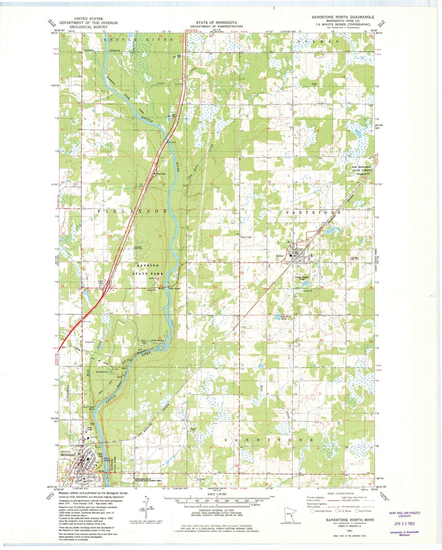
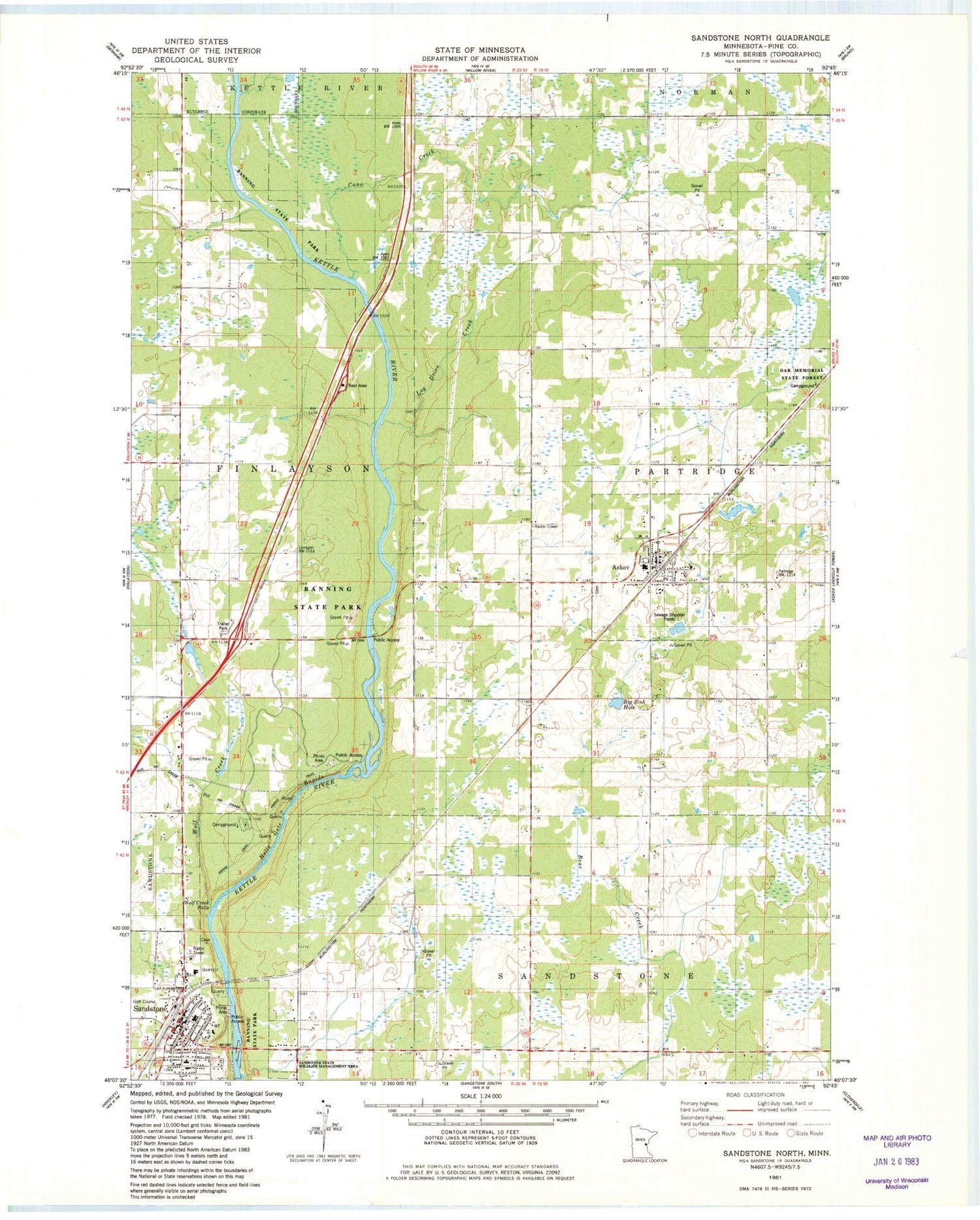
Classic USGS Sandstone North Minnesota 7.5'x7.5' Topo Map
Couldn't load pickup availability
Historical USGS topographic quad map of Sandstone North in the state of Minnesota. Map scale may vary for some years, but is generally around 1:24,000. Print size is approximately 24" x 27"
This quadrangle is in the following counties: Pine.
The map contains contour lines, roads, rivers, towns, and lakes. Printed on high-quality waterproof paper with UV fade-resistant inks, and shipped rolled.
Contains the following named places: Askov, Askov City Hall, Askov Post Office, Askov Volunteer Fire Department, Assembly of God Church, Banning, Banning Campground, Banning State Park, Bethlehem Lutheran Church, Bethlehem Lutheran Church Cemetery, Big Sink Hole, Cane Creek, Cartway Trail, Church of Victory, City of Askov, City of Sandstone, Community Worship Center, Cut-off Trail, Deadman Trail, Dell Grove Emmanuel Lutheran Church, East Central Elementary School, East Central Middle School, Evangelical Free Church, Harvest Christian School, Hells Gate Rapids, Hells Gate Trail, High Bluff Trail, Johnson Park, Johnson's Sunset Mobile Home Park, Kettle River North Bound Rest Area, Kettle River Rapids Geological Marker, Log Drive Creek, Lower Hell's Gate Trail, Lumbering in Minnesota Historical Marker, Military Road Historical Marker, Pine County Historical Museum, Quarry Loop Trail, Quarry Rapids, Railroad Park, Robinson Park, Saint Luke's Catholic Church, Sandstone, Sandstone Area Country Club, Sandstone Area Nursing Home, Sandstone History and Art Center, Sandstone Post Office, Sandstone Public Library, Sandstone Volunteer Fire Department, Skunk Cabbage Trail, Spur Trail, The Church of Jesus Christ of Latter Day Saints, Township of Finlayson, Township Trail, Trillium Trail, Trinity Lutheran Church, United Church of Christ, Watertower Park, Wolf Creek, Wolf Creek Falls, Wolf Creek Trail, Zion Lutheran Church, ZIP Code: 55704


