MyTopo
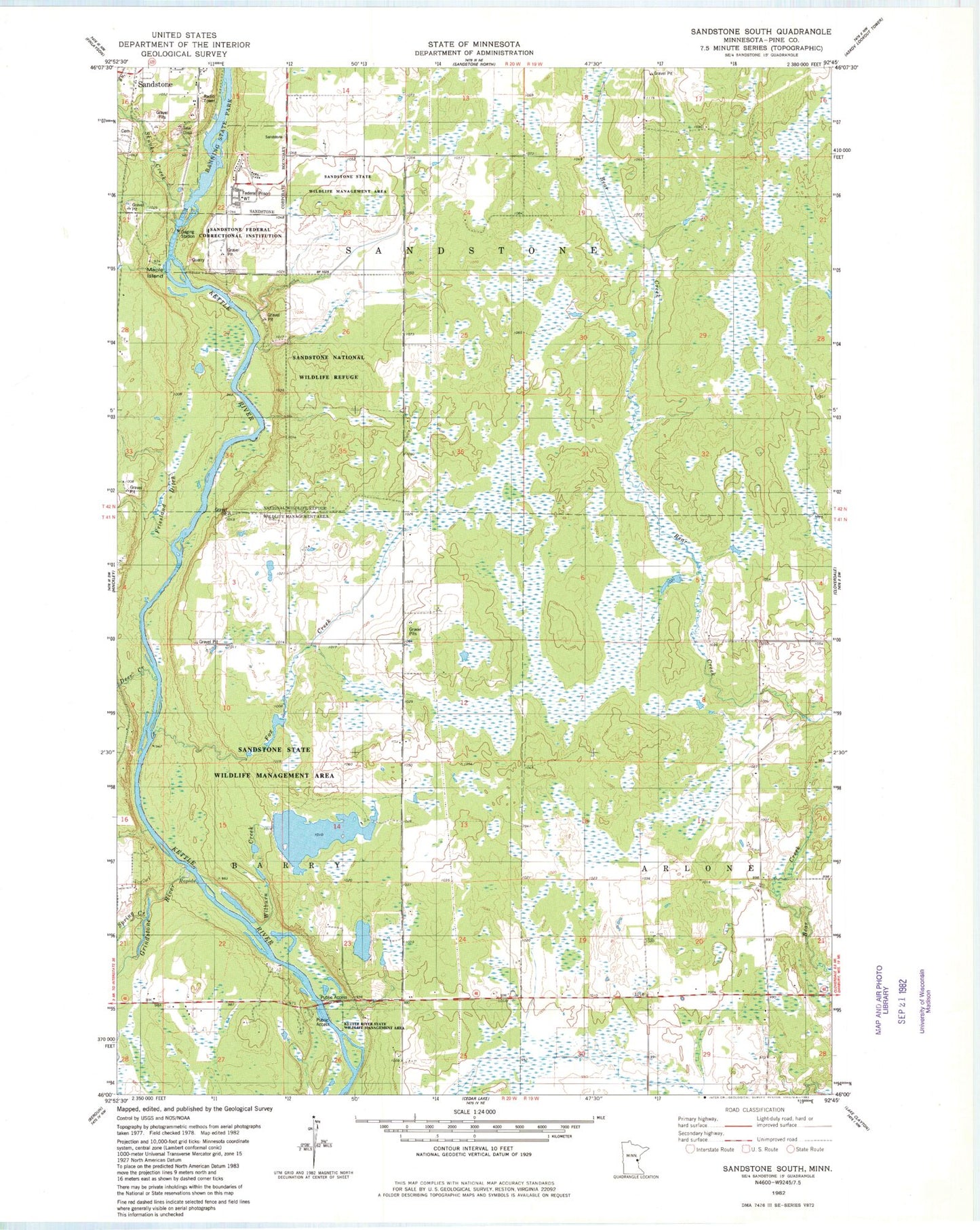
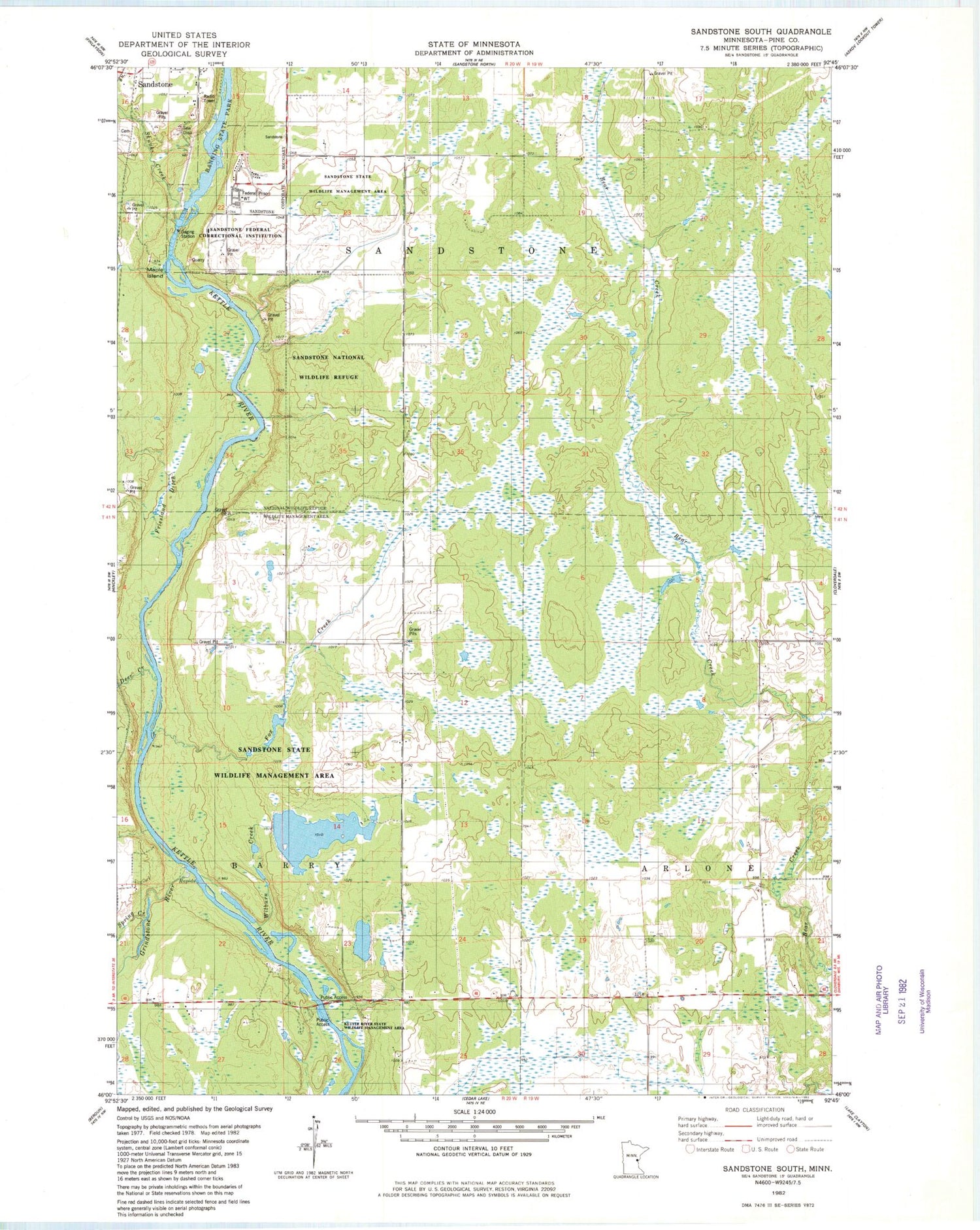
Classic USGS Sandstone South Minnesota 7.5'x7.5' Topo Map
Couldn't load pickup availability
Historical USGS topographic quad map of Sandstone South in the state of Minnesota. Map scale may vary for some years, but is generally around 1:24,000. Print size is approximately 24" x 27"
This quadrangle is in the following counties: Pine.
The map contains contour lines, roads, rivers, towns, and lakes. Printed on high-quality waterproof paper with UV fade-resistant inks, and shipped rolled.
Contains the following named places: Big Spring Falls, Cloverdale School, Deer Creek, East Central Senior High School, Federal Correctional Institution Sandstone, Fox Creek, Gateway Family Health Clinic, Grindstone River, Hinckley Wayside Park, Kettle River Dam, Kettle River Reservoir, Kettle River State Wildlife Management Area, Maple Island, Sandstone National Wildlife Refuge, Sandstone Rapids, Sandstone State Wildlife Management Area, Skunk Creek, Spring Creek, Spring Park Cemetery, T Nammacker Dam, Township of Barry, Township of Sandstone, Wilburn Creek, ZIP Code: 55037


