MyTopo
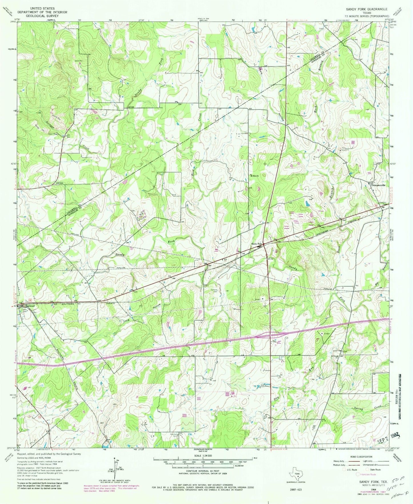
Classic USGS Sandy Fork Texas 7.5'x7.5' Topo Map
Regular price
$16.95
Regular price
Sale price
$16.95
Unit price
per
Couldn't load pickup availability
Historical USGS topographic quad map of Sandy Fork in the state of Texas. Map scale may vary for some years, but is generally around 1:24,000. Print size is approximately 24" x 27"
This quadrangle is in the following counties: Caldwell, Gonzales.
The map contains contour lines, roads, rivers, towns, and lakes. Printed on high-quality waterproof paper with UV fade-resistant inks, and shipped rolled.
Contains the following named places: Bee Branch, Buck Branch, Chalk Hollow, Dry Run, Flying W Ranch Airport, Fullilove Cemetery, Haschke Cemetery, Long Hollow, Mount Zion Church, Reed Creek, Saint Union Church, Sandy Fork, Scruggs Creek, Thompsonville, ZIP Code: 78632