MyTopo
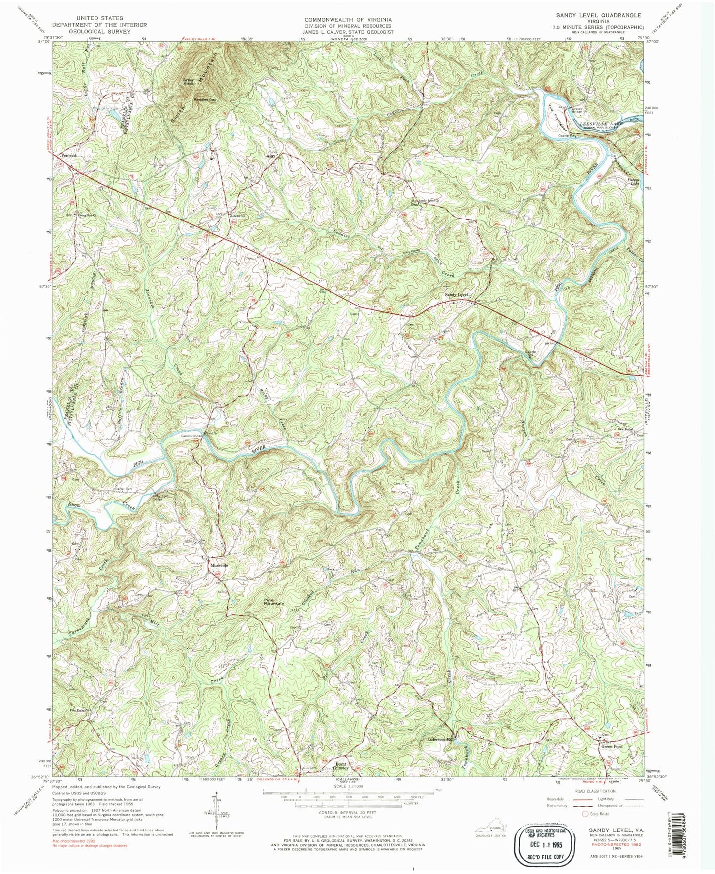
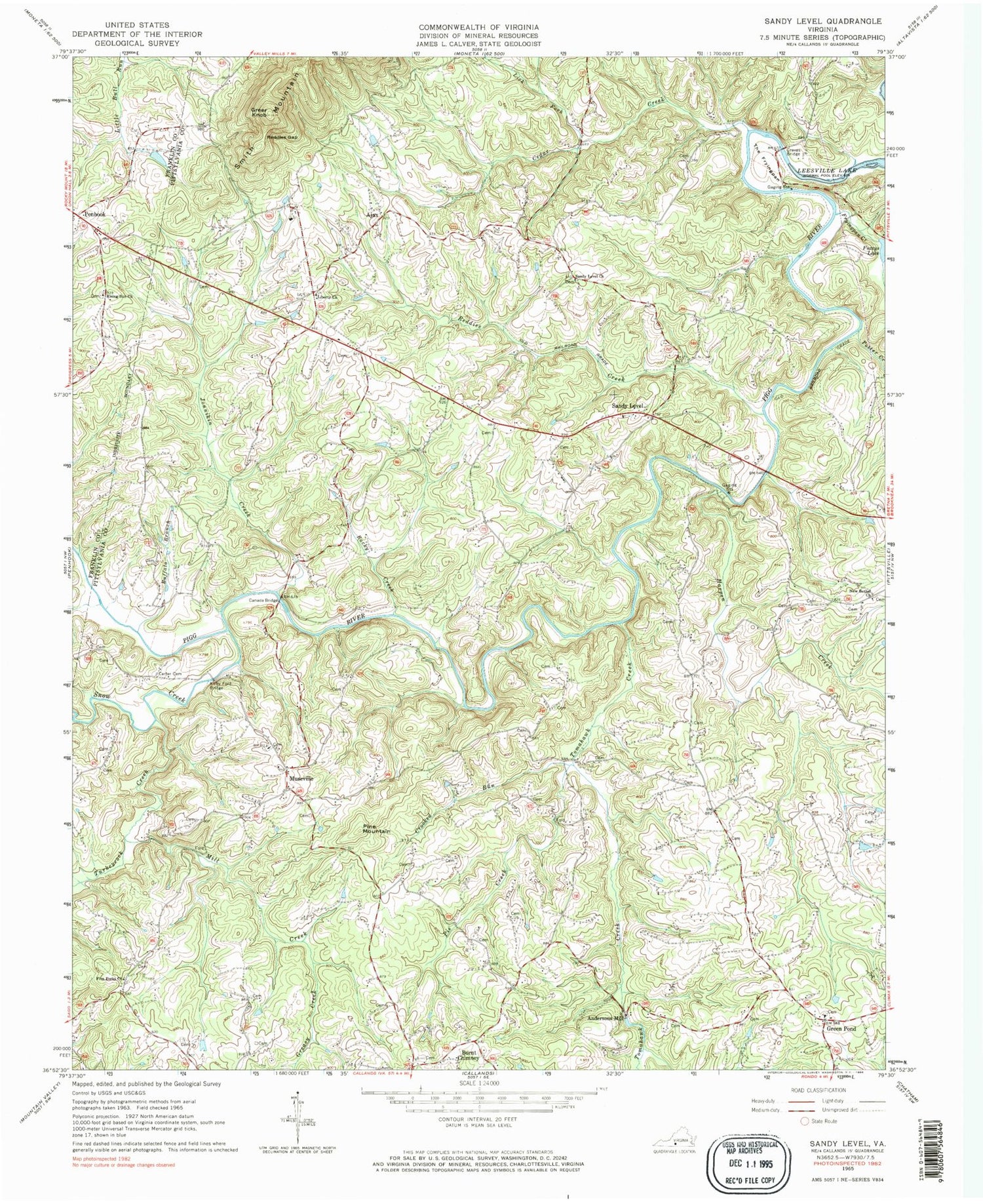
Classic USGS Sandy Level Virginia 7.5'x7.5' Topo Map
Couldn't load pickup availability
Historical USGS topographic quad map of Sandy Level in the state of Virginia. Typical map scale is 1:24,000, but may vary for certain years, if available. Print size: 24" x 27"
This quadrangle is in the following counties: Franklin, Pittsylvania.
The map contains contour lines, roads, rivers, towns, and lakes. Printed on high-quality waterproof paper with UV fade-resistant inks, and shipped rolled.
Contains the following named places: Buffalo Branch, Burnt Chimney, Canada Bridge, Carter Cemetery, Cedar Creek, Crooked Run, Five Forks Church, Fryingpan Creek, Graves Bridge, Greasy Creek, Greer Knob, Harpen Creek, Jonnikin Creek, Kirby Ford Bridge, Liberty Church, Lick Fork Cedar Creek, Mill Creek, New Bethel Church, Pie Creek, Reddies Creek, Reddies Gap, Rising Sun Church, Rocky Creek, Sandy Level, Sandy Level Church, Snow Creek, The Fryingpan, Tomahawk Creek, Turkeycock Creek, Ajax, Green Pond, Museville, Potter Creek, Burton Dam, Fuzzys Dam, Hammock Dam, Watson Dam, Andersons Mill, Pine Mountain, Burton Lake, Adkins School (historical), Carr Ford, Chestnut Ridge School (historical), Dalton School (historical), Davis Ford, Five Forks School (historical), Giles Mill (historical), Greenpond Baptist Church, Juniper School (historical), Lees Mill (historical), Liberty School (historical), Louis Island Bridge (historical), Mountain View School (historical), Oak Hill School (historical), Olive Branch School (historical), Stanhope Hurt Bridge, Sunnyside School (historical), Cool Branch Volunteer Fire Department Company 13, Hammock Farm, Cool Branch Rescue Squad - Squad 13


