MyTopo
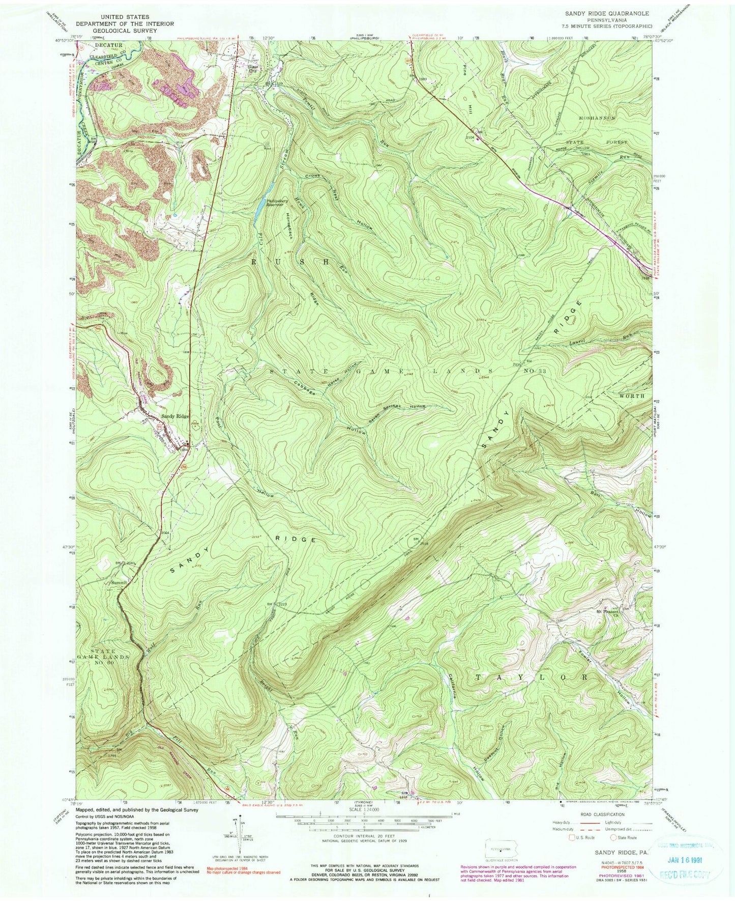
Classic USGS Sandy Ridge Pennsylvania 7.5'x7.5' Topo Map
Couldn't load pickup availability
Historical USGS topographic quad map of Sandy Ridge in the state of Pennsylvania. Typical map scale is 1:24,000, but may vary for certain years, if available. Print size: 24" x 27"
This quadrangle is in the following counties: Centre, Clearfield.
The map contains contour lines, roads, rivers, towns, and lakes. Printed on high-quality waterproof paper with UV fade-resistant inks, and shipped rolled.
Contains the following named places: Cabbage Hollow, Crowns Nest Hollow, Deepcut Hollow, Glass City, Hawk Run, Horse Hollow, Horseback Ridge, Mount Pleasant Church, Philipsburg Reservoir, Pine Hill, Pool Hollow, Sandy Ridge, Sandy Ridge, Seven Springs Hollow, Shimel Run, Summit, Tomtit Run, Wolf Run, State Game Lands Number 33, Upper Dam, Henderson School, Mount Vernon School, Cabbage Hollow Run, Slide Hollow Trail, Rushton Station, Mapleton Junction Station, Mapleton Junction, Retort, Powelton, Township of Rush, Township of Taylor, Sandy Ridge Census Designated Place, Mountain Top Fire Company 13, Sandy Ridge Post Office, Mount Pleasant Cemetery


