MyTopo
Classic USGS Sanford Ranch Wyoming 7.5'x7.5' Topo Map
Regular price
$16.95
Regular price
Sale price
$16.95
Unit price
per
Couldn't load pickup availability
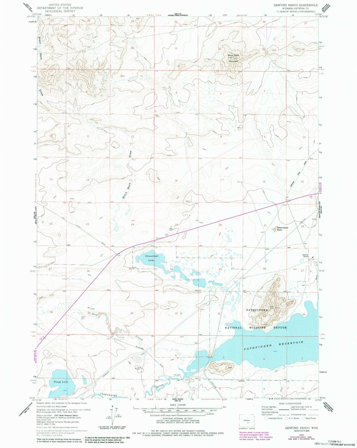
Historical USGS topographic quad map of Sanford Ranch in the state of Wyoming. Map scale may vary for some years, but is generally around 1:24,000. Print size is approximately 24" x 27"
This quadrangle is in the following counties: Natrona.
The map contains contour lines, roads, rivers, towns, and lakes. Printed on high-quality waterproof paper with UV fade-resistant inks, and shipped rolled.
Contains the following named places: Berthaton Claims, Black Rock Draw, Black Rock Mountain, Dry Creek, Last Chance Mine, Omaha Soda Deposit, Piaya Lake, Sanford Ranch, Steamboat Lake, Steamboat Rock, Sweetwater River, Wilmington and Wilkesbarre Deposits