MyTopo
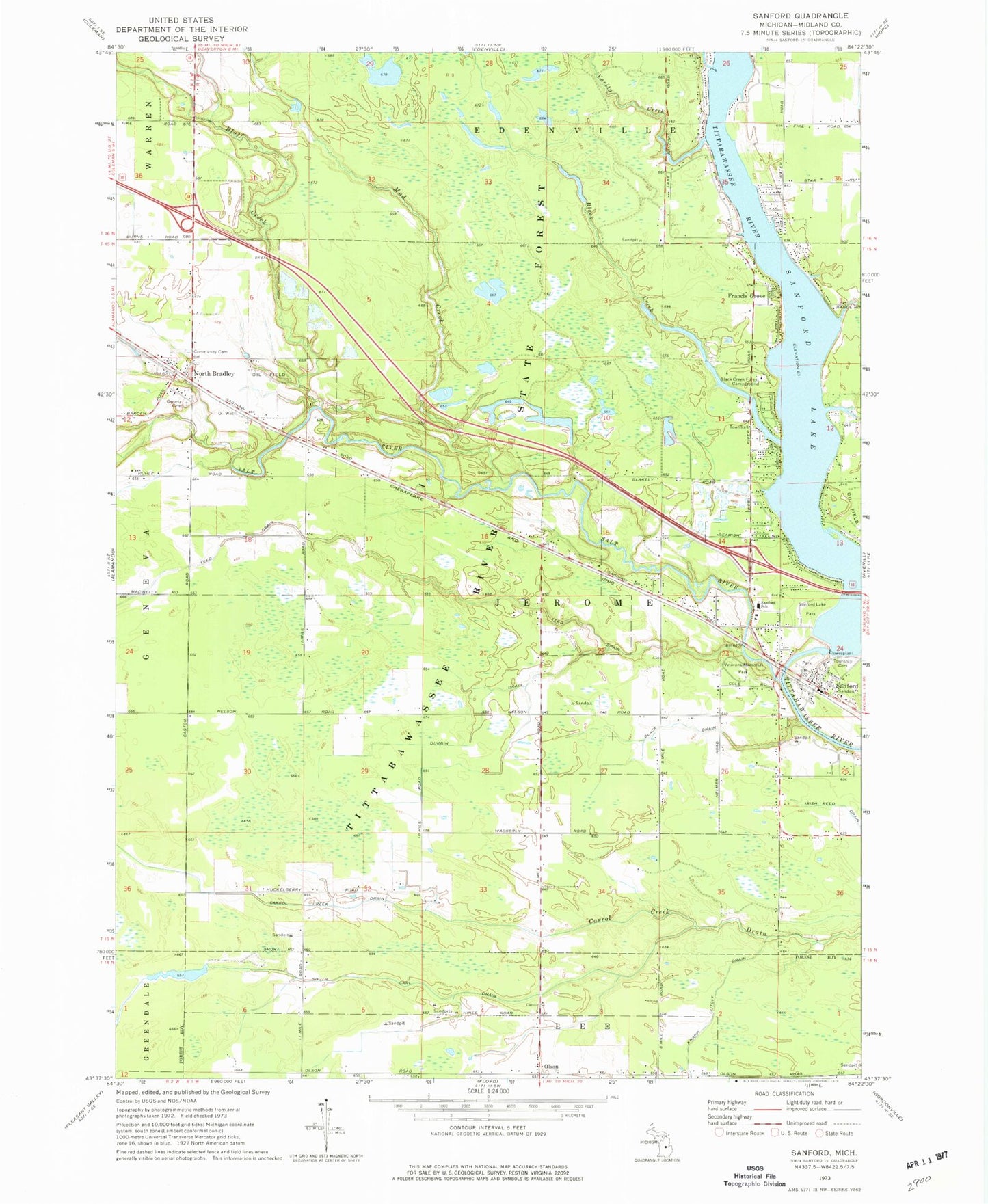
Classic USGS Sanford Michigan 7.5'x7.5' Topo Map
Couldn't load pickup availability
Historical USGS topographic quad map of Sanford in the state of Michigan. Map scale may vary for some years, but is generally around 1:24,000. Print size is approximately 24" x 27"
This quadrangle is in the following counties: Midland.
The map contains contour lines, roads, rivers, towns, and lakes. Printed on high-quality waterproof paper with UV fade-resistant inks, and shipped rolled.
Contains the following named places: Black Creek, Black Creek Forest Campground, Black Drain, Bluff Creek, Church of Christ Restored, Church of Jesus Christ of Latter Day Saints, Cleft of the Rock Family Church, Community of Christ, Durbin Drain, Edenville Fire and Rescue Station 2, Francis Grove, Geneva Cemetery, Geneva Community Cemetery, Jerome Township Cemetery, Jerome Township Fire Department Station 1, Jerome Township Hall, Midland County, Mud Creek, North Bradley, North Bradley Church of God, North Bradley Post Office, North Bradley Station, Olson, Olson Community Church, Olson Post Office, Origins of the Salt Industry Historical Marker, Saint Agnes Roman Catholic Church, Salt River, Sanford, Sanford Historical Museum, Sanford Lake, Sanford Lake Marina, Sanford Lake Park, Sanford Medical Center, Sanford Post Office, Sanford School, Sanford Station, Sanford United Methodist Church, State Salt Well Number 1 Historical Marker, Stockholm Forest Village Mobile Home Park, Sullivan Cemetery, Township of Jerome, Varity Creek, Veterans Memorial Park, Village of Sanford, ZIP Code: 48657