MyTopo
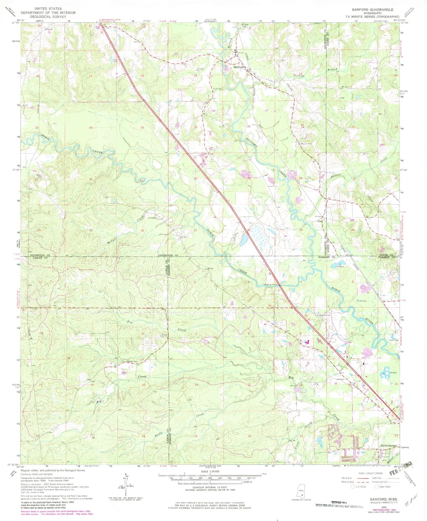
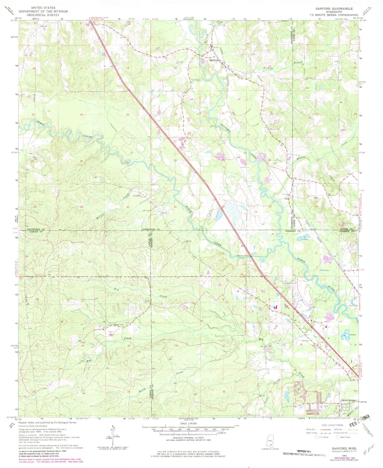
Classic USGS Sanford Mississippi 7.5'x7.5' Topo Map
Couldn't load pickup availability
Historical USGS topographic quad map of Sanford in the state of Mississippi. Map scale may vary for some years, but is generally around 1:24,000. Print size is approximately 24" x 27"
This quadrangle is in the following counties: Covington, Forrest, Jones, Lamar.
The map contains contour lines, roads, rivers, towns, and lakes. Printed on high-quality waterproof paper with UV fade-resistant inks, and shipped rolled.
Contains the following named places: Bay Springs School, Bowie Creek Landing Boat Ramp, Bullock Creek, Byrd Cemetery, Clinton Cemetery, Cross Creek, Dry Creek, Ed Turner Lake Dam, Edmonson Cemetery, First Baptist Church of Sanford, Grandberry Plantation, Jesse Bryant Cemetery, Lott Cemetery, Lux, Lux Church, Lux School, McCall Creek, Nichols Branch, Okatoma Creek, Rawl Springs Volunteer Fire Department, Rawls Cemetery, Rawls Springs Baptist Church Cemetery, Rawls Springs Census Designated Place, Rawls Springs Community Center, Rooty Creek, Sacier Pond Dam, Sanford, Sanford Academy, Sanford Missionary Baptist Church, Sanford School, Sanford United Methodist Church, Shady Cove Recreational Vehicle Campground, Shelton Creek, Simmons Airport, Stir, Sutton School, Watts Cemetery


