MyTopo
Classic USGS Sanger Texas 7.5'x7.5' Topo Map
Couldn't load pickup availability
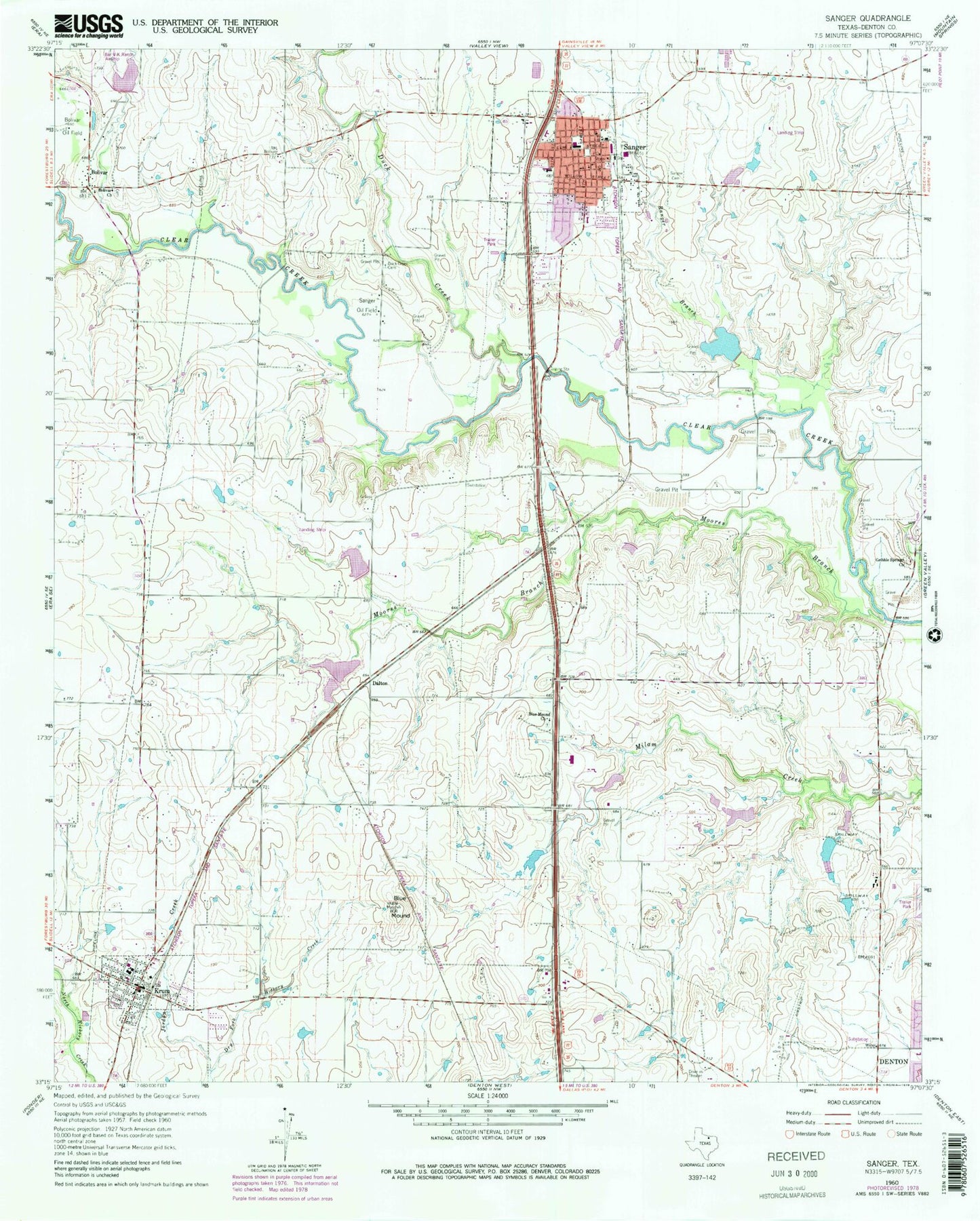
Historical USGS topographic quad map of Sanger in the state of Texas. Map scale may vary for some years, but is generally around 1:24,000. Print size is approximately 24" x 27"
This quadrangle is in the following counties: Denton.
The map contains contour lines, roads, rivers, towns, and lakes. Printed on high-quality waterproof paper with UV fade-resistant inks, and shipped rolled.
Contains the following named places: Blanche Dodd Elementary School, Blue Mound, Blue Mound Church, Bolivar, Bolivar Church, Chisom Trail Elementary School, City of Crum Wastewater Treatment Facility, City of Krum, City of Sanger, Clear Creek Intermediate School, Dalton, Daughters of the American Revolution Museum, Duck Creek, Duck Creek Cemetery, Dyer Elementary School, First Baptist Church, Flying V Airport, Gateway United Baptist Church, Gribble Springs Church, Ironhead Airport, Jordan Creek, KNTU-FM (Denton), Krum, Krum Fire Department, Krum High School, Krum Middle School, Krum Police Department, Krum Post Office, Krum United Methodist Church, Lane Field, Lane Lake, Lane Lake Dam, Linda Tutt High School, Moores Branch, Paddock Lake, Paddock Lake Dam, Pilgrims Way Baptist Church, Ranger Branch, Richards Airport, Sanger, Sanger Alternative School, Sanger Cemetery, Sanger City Hall, Sanger Division, Sanger Middle School, Sanger Oil Field, Sanger Police Department, Sanger Post Office, Sanger Volunteer Fire Department, Sanger Waste Water Treatment Plant, Soil Conservation Service Site 51 Dam, Soil Conservation Service Site 51 Reservoir, Soil Conservation Service Site 55b Dam, Soil Conservation Service Site 55b Reservoir, Tedrow Lake, Tedrow Lake Dam, Tenderfoot Learning Center, Twin Lakes Number 1 Dam, Williams Lake, Williams Lake Dam, ZIP Code: 76266


