MyTopo
Classic USGS Sanish SE North Dakota 7.5'x7.5' Topo Map
Regular price
$16.95
Regular price
Sale price
$16.95
Unit price
per
Couldn't load pickup availability
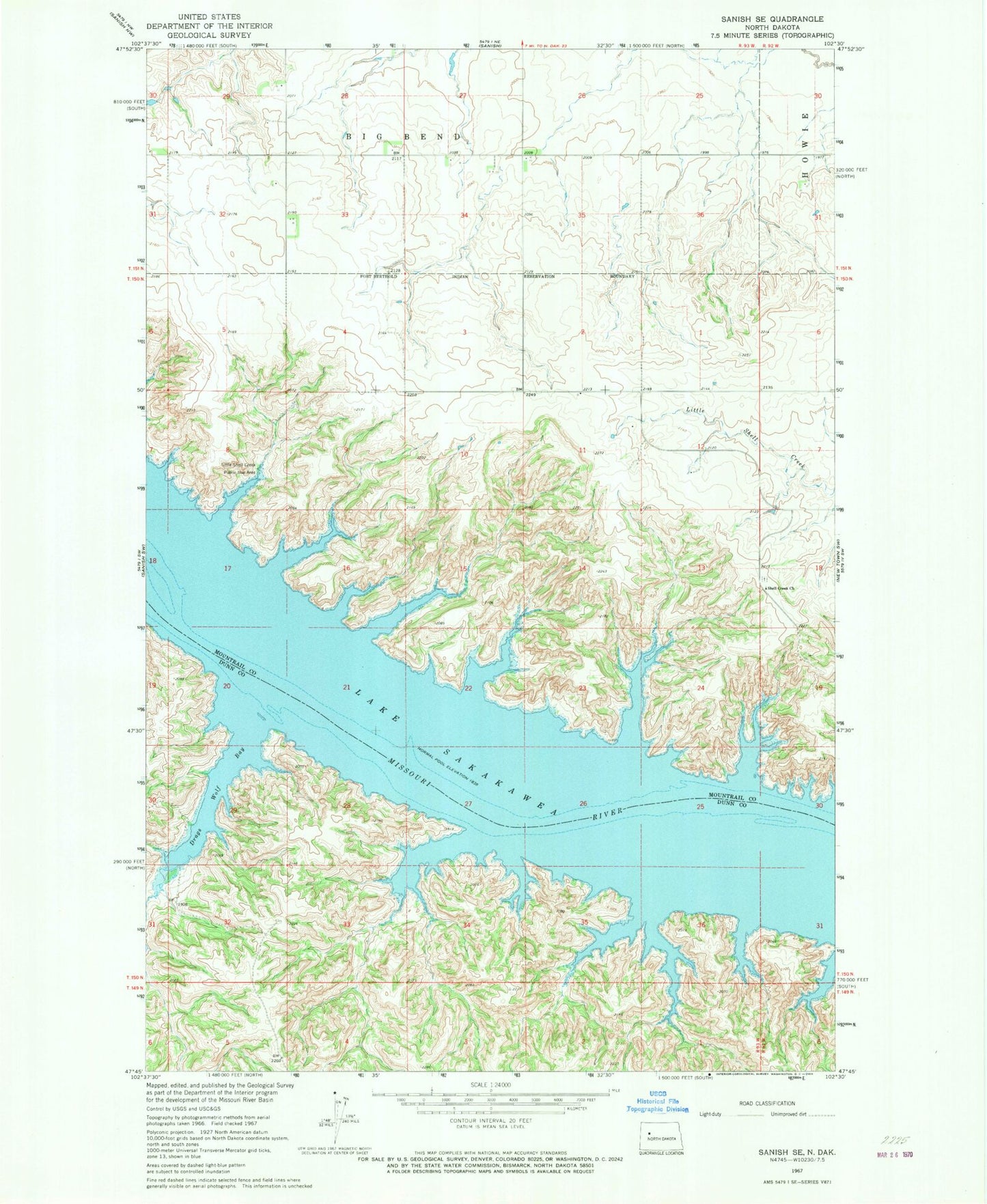
Historical USGS topographic quad map of Sanish SE in the state of North Dakota. Map scale may vary for some years, but is generally around 1:24,000. Print size is approximately 24" x 27"
This quadrangle is in the following counties: Dunn, Mountrail.
The map contains contour lines, roads, rivers, towns, and lakes. Printed on high-quality waterproof paper with UV fade-resistant inks, and shipped rolled.
Contains the following named places: Boggy Creek, Drags Wolf Bay, Holy Family U. S. Scouts Cemetery, Horse Camp Coulee, Little Shell Creek Public Use Area, Shell Creek Church, Sunday Island