MyTopo
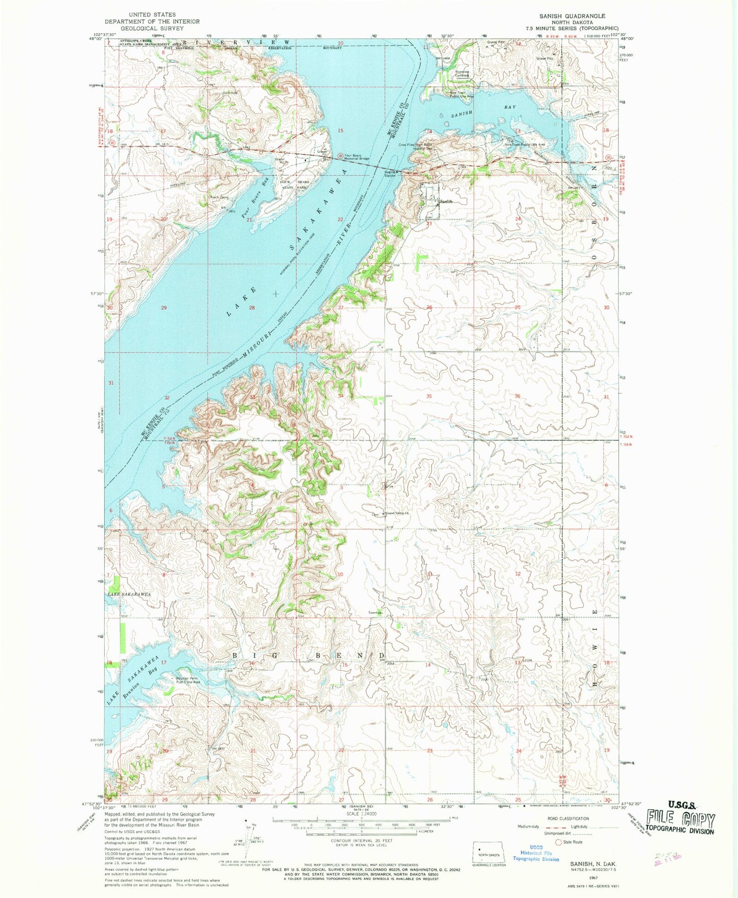
Classic USGS Sanish North Dakota 7.5'x7.5' Topo Map
Couldn't load pickup availability
Historical USGS topographic quad map of Sanish in the state of North Dakota. Map scale may vary for some years, but is generally around 1:24,000. Print size is approximately 24" x 27"
This quadrangle is in the following counties: McKenzie, Mountrail.
The map contains contour lines, roads, rivers, towns, and lakes. Printed on high-quality waterproof paper with UV fade-resistant inks, and shipped rolled.
Contains the following named places: Church Camp, Crow Flies High Butte Historic Site, Four Bears Bay, Four Bears Casino and Lodge, Four Bears Memorial Bridge, Four Bears Park, Four Bears Village, Four Bears Village Census Designated Place, Grand Valley Church, Grand Valley Lutheran Cemetery, Knifer Towhead, New Town Public Use Area, Reunion Bay, Reunion Point Public Use Area, Riverview Cemetery, Sanish, Sanish Bay, Three Affiliated Tribes Museum, Township of Big Bend, ZIP Code: 58763