MyTopo
Classic USGS Sansarc NE South Dakota 7.5'x7.5' Topo Map
Regular price
$16.95
Regular price
Sale price
$16.95
Unit price
per
Couldn't load pickup availability
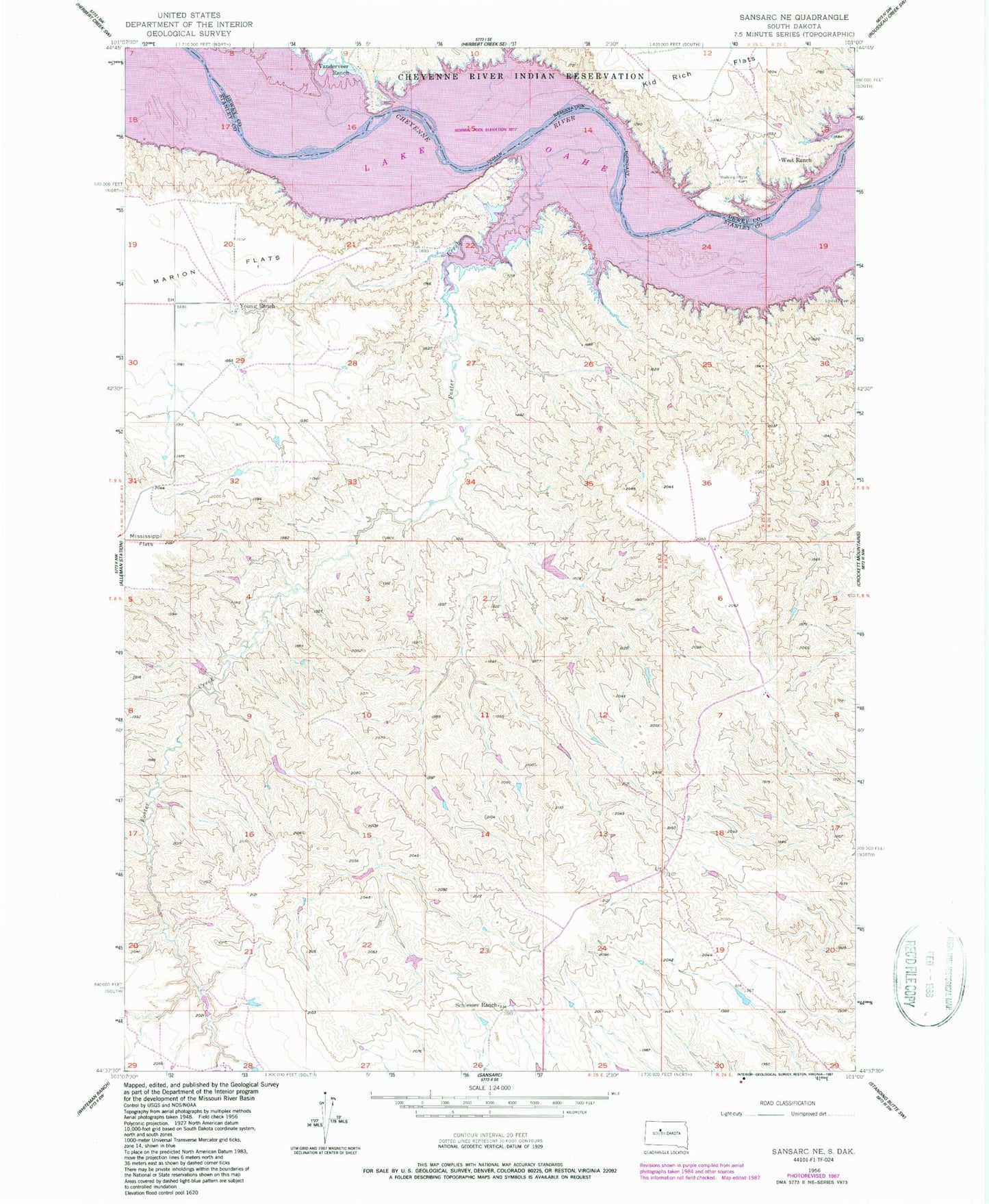
Historical USGS topographic quad map of Sansarc NE in the state of South Dakota. Map scale may vary for some years, but is generally around 1:24,000. Print size is approximately 24" x 27"
This quadrangle is in the following counties: Dewey, Stanley.
The map contains contour lines, roads, rivers, towns, and lakes. Printed on high-quality waterproof paper with UV fade-resistant inks, and shipped rolled.
Contains the following named places: Cheyenne River, Foster Creek, Gaylord Norman Number 1 Dam, Gaylord Norman Number 2 Dam, Lindsay Cemetery, Marion Flats, Norman Number 1 Dam, Schiesser Ranch, Sunshine Ranch, Vanderveer Ranch, Walking Horse Cemetery, West Ranch, Young Ranch