MyTopo
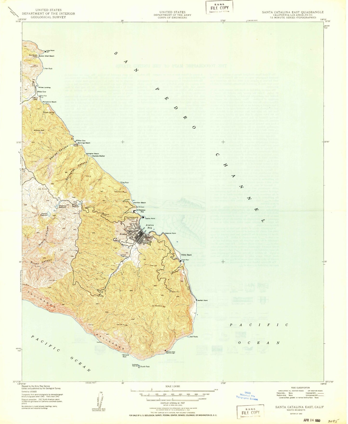
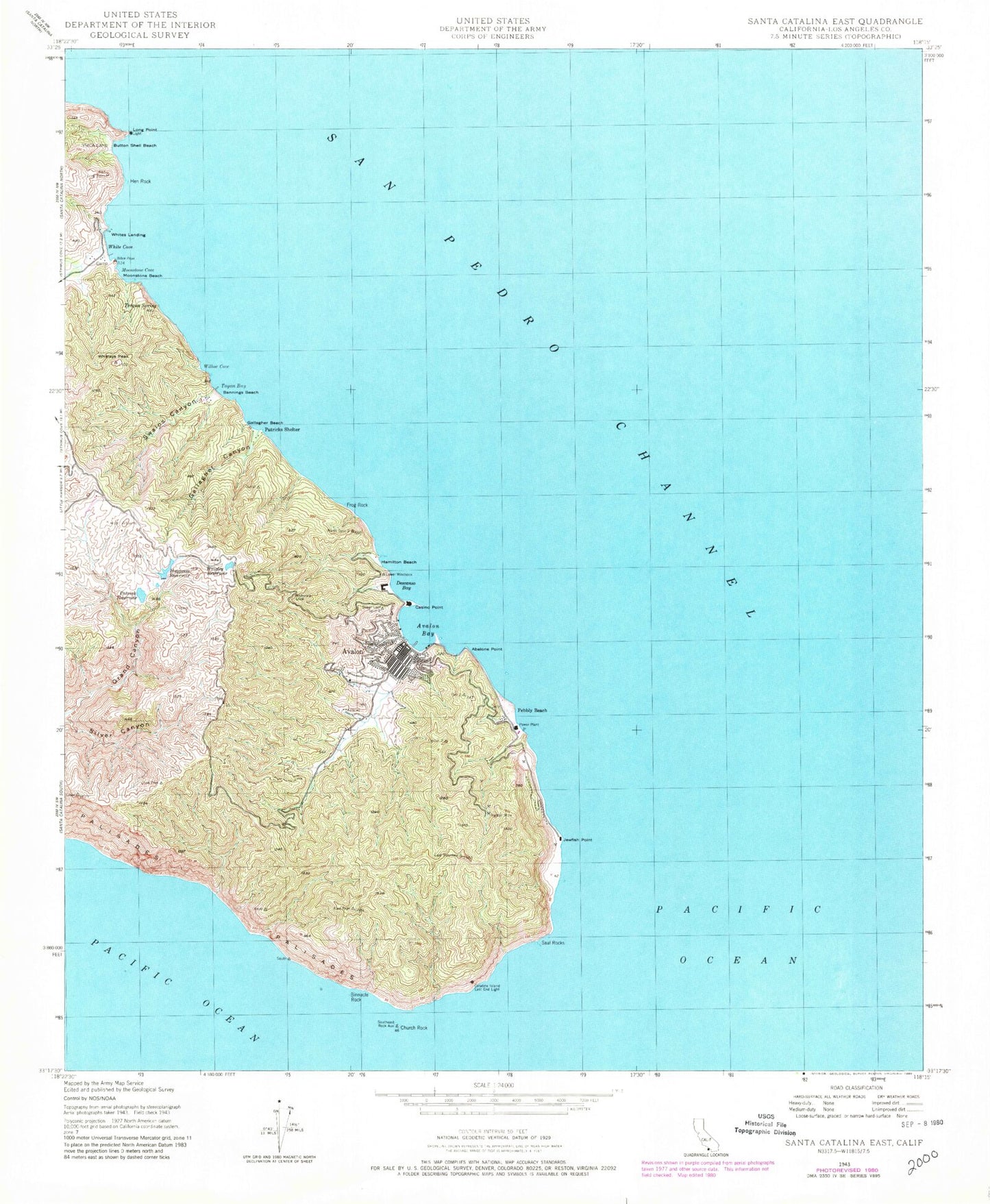
Classic USGS Santa Catalina East California 7.5'x7.5' Topo Map
Couldn't load pickup availability
Historical USGS topographic quad map of Santa Catalina East in the state of California. Typical map scale is 1:24,000, but may vary for certain years, if available. Print size: 24" x 27"
This quadrangle is in the following counties: Los Angeles.
The map contains contour lines, roads, rivers, towns, and lakes. Printed on high-quality waterproof paper with UV fade-resistant inks, and shipped rolled.
Contains the following named places: Abalone Point, Bannings Beach, Binnacle Rock, Camp Toyon, Catalina Island East End Light, Descanso Bay, Frog Rock, Gallagher Beach, Gallagher Canyon, Hamilton Beach, Haypress Reservoir, Hen Rock, Jewfish Point, Moonstone Beach, Patrick Reservoir, Patricks Shelter, Pebbly Beach, Renton Mine, Seal Rocks, Southeast Rock Auxiliary, Swains Canyon, Torqua Spring, White Cove, Whitleys Peak, Wishbone Loop, Wrigley Reservoir, Moonstone Cove, Willow Cove, KBRT, White Rock, Cabrillo Peninsula, Lovers Cove, Avalon Bay, Button Shell Beach, Casino Point, Church Rock, Long Point, Toyon Bay, Avalon Bay Seaplane Base, Pebbly Beach Seaplane Base, Avalon, Whites Landing, KBRT-AM (Avalon), KPJO-FM (Avalon), Wrigley Reservoir 104-026 Dam, Avalon Branch County of Los Angeles Public Library, Avalon Post Office, Green Pleasure Pier, Pointe Catalina Island Golf Club, Wrigley Botanical Gardens, City of Avalon, Catalina Island Medical Center, Avalon Fire Department, Los Angeles County Fire Department Station 55, Los Angeles County Sheriff's Department - Avalon Station


