MyTopo
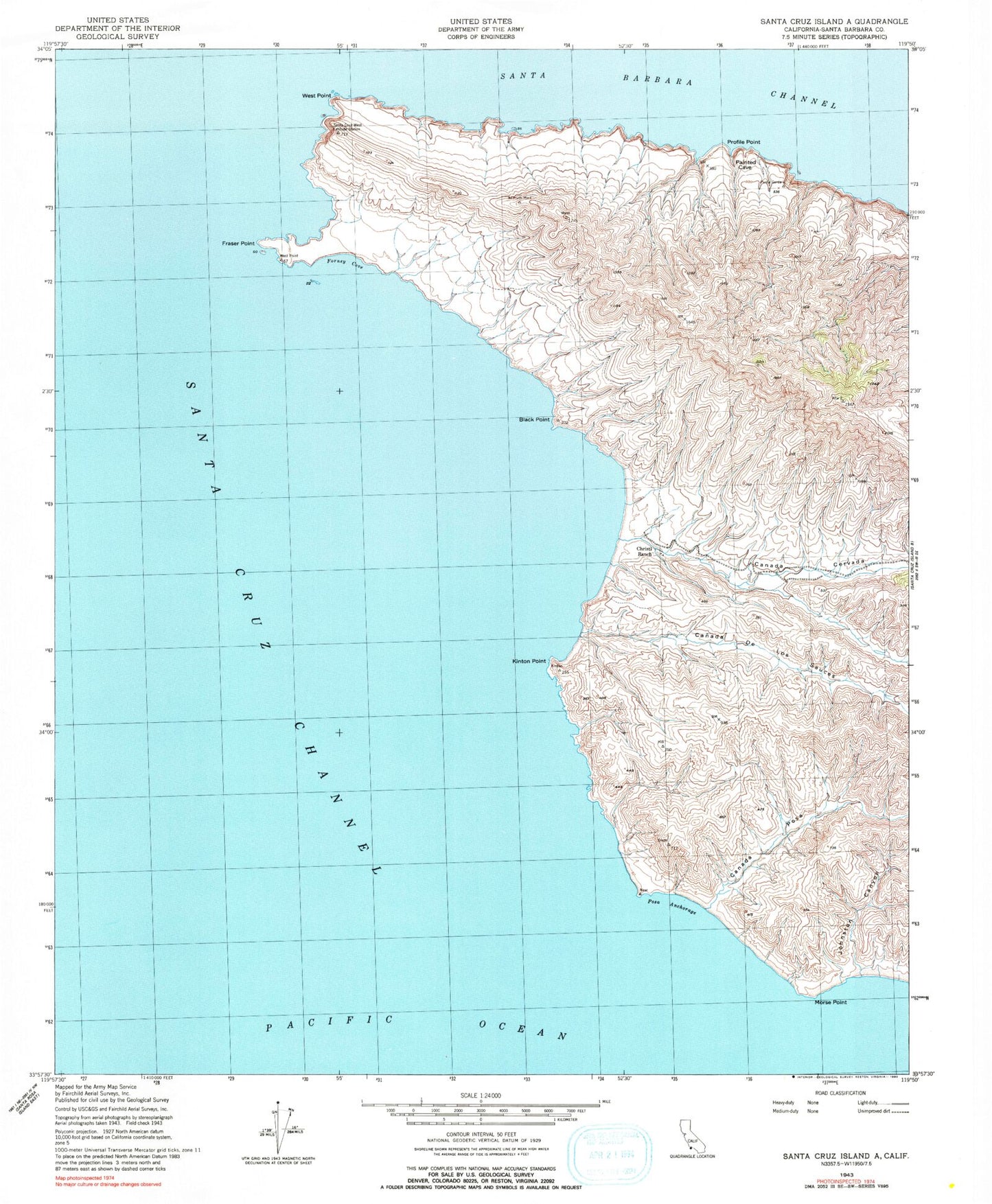
Classic USGS Santa Cruz Island A California 7.5'x7.5' Topo Map
Couldn't load pickup availability
Historical USGS topographic quad map of Santa Cruz Island A in the state of California. Map scale may vary for some years, but is generally around 1:24,000. Print size is approximately 24" x 27"
This quadrangle is in the following counties: Santa Barbara.
The map contains contour lines, roads, rivers, towns, and lakes. Printed on high-quality waterproof paper with UV fade-resistant inks, and shipped rolled.
Contains the following named places: Black Point, Canada Cervada, Canada De Los Sauces, Canada Posa, Christi Beach, Christi Ranch, Christy Airstrip, Forney Cove, Fraser Point, Johnston Canyon, Kinton Point, Morse Point, Posa Anchorage, Profile Point, Santa Cruz Channel, Santa Cruz Island, Santa Cruz Island Airport, West Point