MyTopo
Classic USGS Santa Cruz Island C California 7.5'x7.5' Topo Map
Regular price
$16.95
Regular price
Sale price
$16.95
Unit price
per
Couldn't load pickup availability
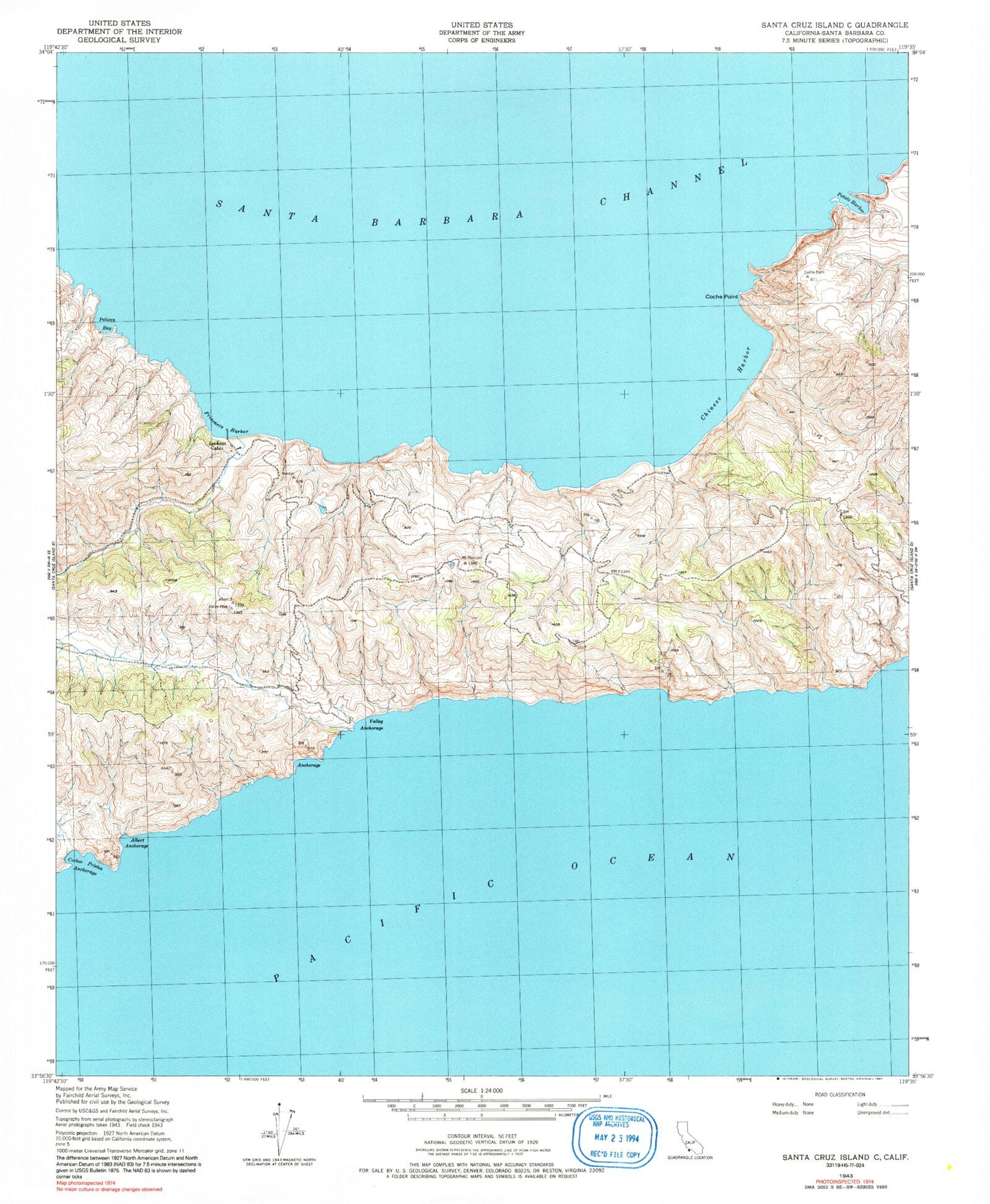
Historical USGS topographic quad map of Santa Cruz Island C in the state of California. Typical map scale is 1:24,000, but may vary for certain years, if available. Print size: 24" x 27"
This quadrangle is in the following counties: Santa Barbara.
The map contains contour lines, roads, rivers, towns, and lakes. Printed on high-quality waterproof paper with UV fade-resistant inks, and shipped rolled.
Contains the following named places: Albert Anchorage, Central Valley, Chinese Harbor, Coche Point, Lookout Cabin, Pelican Bay, Prisoners Harbor, Valley Anchorage, Tinkers Harbor, Blue Banks Anchorage, Potato Harbor, Coches Prietos Anchorage, Santa Cruz Ranch Airport