MyTopo
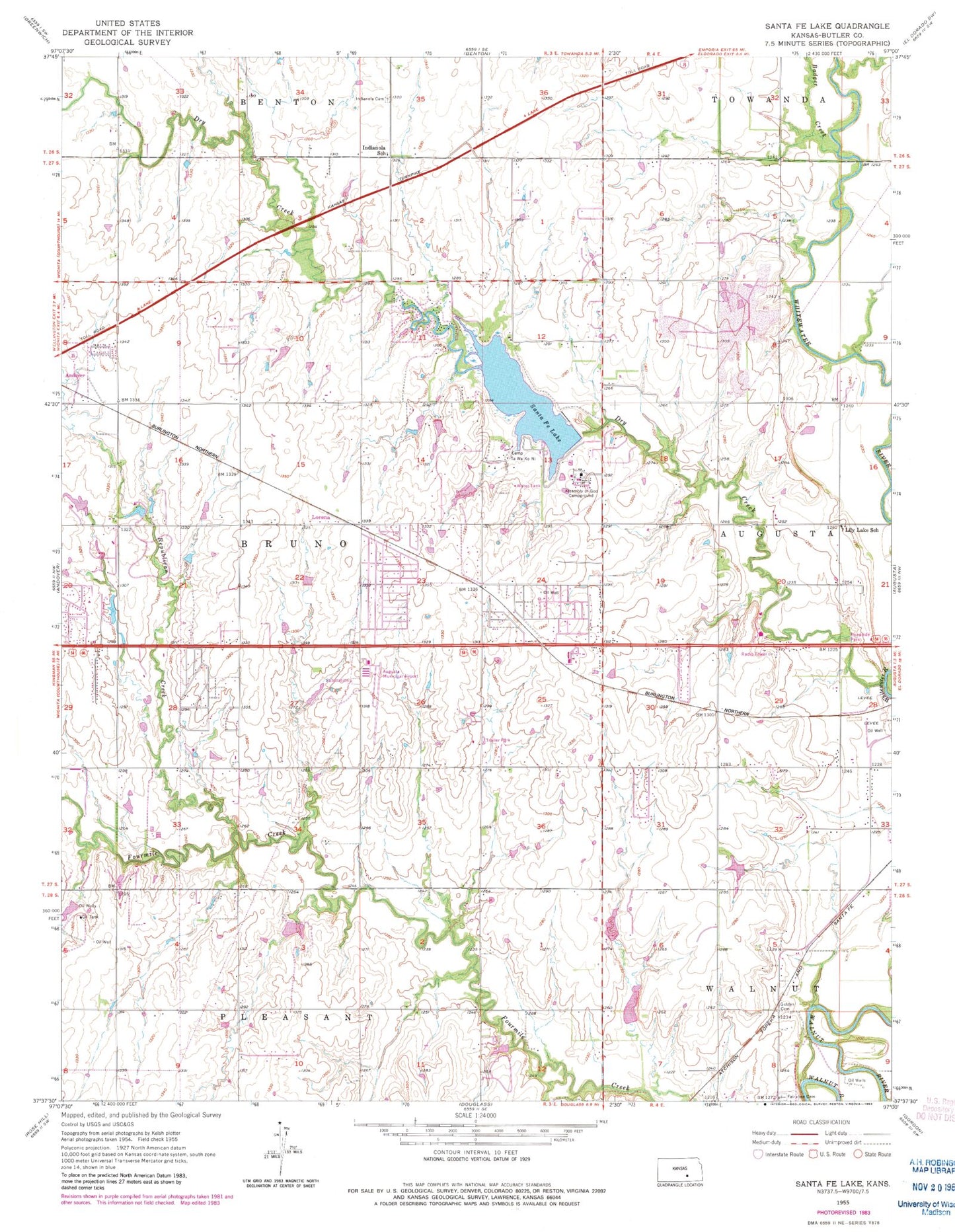
Classic USGS Santa Fe Lake Kansas 7.5'x7.5' Topo Map
Couldn't load pickup availability
Historical USGS topographic quad map of Santa Fe Lake in the state of Kansas. Typical map scale is 1:24,000, but may vary for certain years, if available. Print size: 24" x 27"
This quadrangle is in the following counties: Butler.
The map contains contour lines, roads, rivers, towns, and lakes. Printed on high-quality waterproof paper with UV fade-resistant inks, and shipped rolled.
Contains the following named places: Dry Creek, Badger Creek, Township of Bruno, Republican Creek, Fairview Cemetery, Golden Cemetery, Augusta Municipal Airport, Assembly of God Campground, Camp Ta Wa Ko Ni, Butler County State Park, Santa Fe Lake, Shady Rest Park, Indianola School (historical), Indianola Cemetery, Lily Lake School (historical), Santa Fe Lake Dam, Graham Airport (historical), Trabue Airport (historical), Sills Air Park, Indianola (historical), Lorena, Prairie Creek Elementary School, Andover Central Middle School, Andover City Hall, Daniel's Landing, Brady-Pippin Airport, Central Baptist Church, Hope Community Church, Prairie Hills Southern Baptist Church, Andover Wastewater Treatment Plant, Andover Industrial Park, Andover Community Center, Andover Public Library, Augusta Quarry


